Photo credits
Every photograph here is of the road it illustrates, used under the licence its photographer chose. Shown at published size, framed with CSS, unaltered.
-
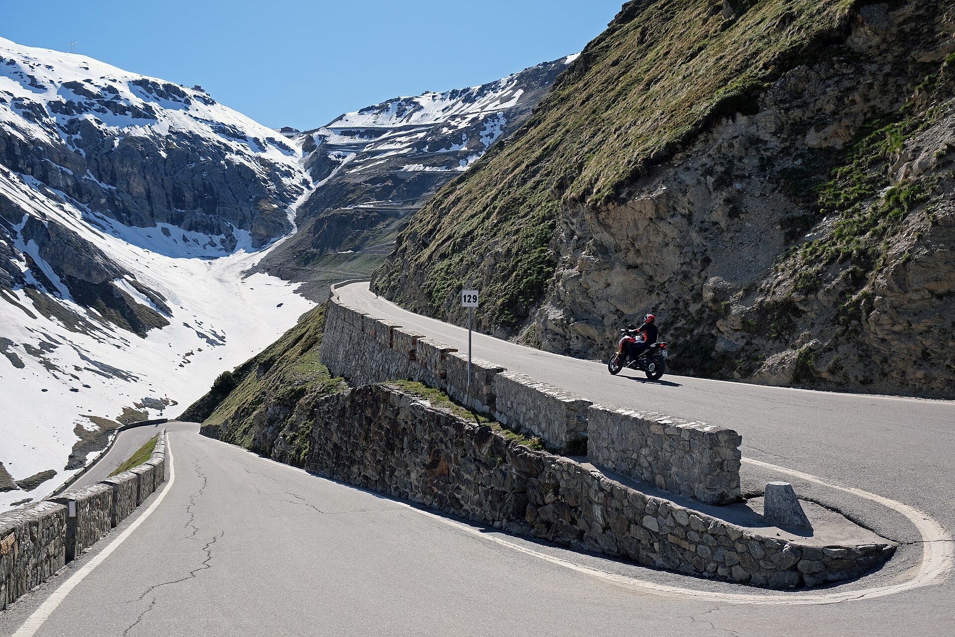 Stelvio Pass Bolzano side 3.jpgkallerna · CC BY-SA 4.0 · Wikimedia Commons
-
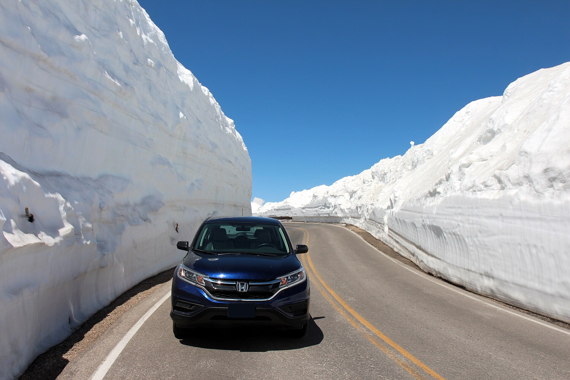 Beartooth Highway After Spring Plow.jpgPahcal123 · CC BY-SA 4.0 · Wikimedia Commons
-
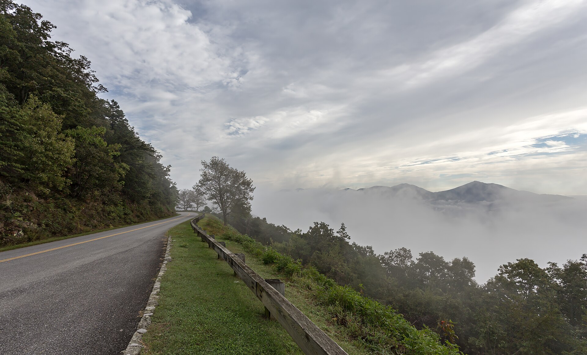 Blue Ridge Parkway clouds VA1.jpgAcroterion · CC BY-SA 4.0 · Wikimedia Commons
-
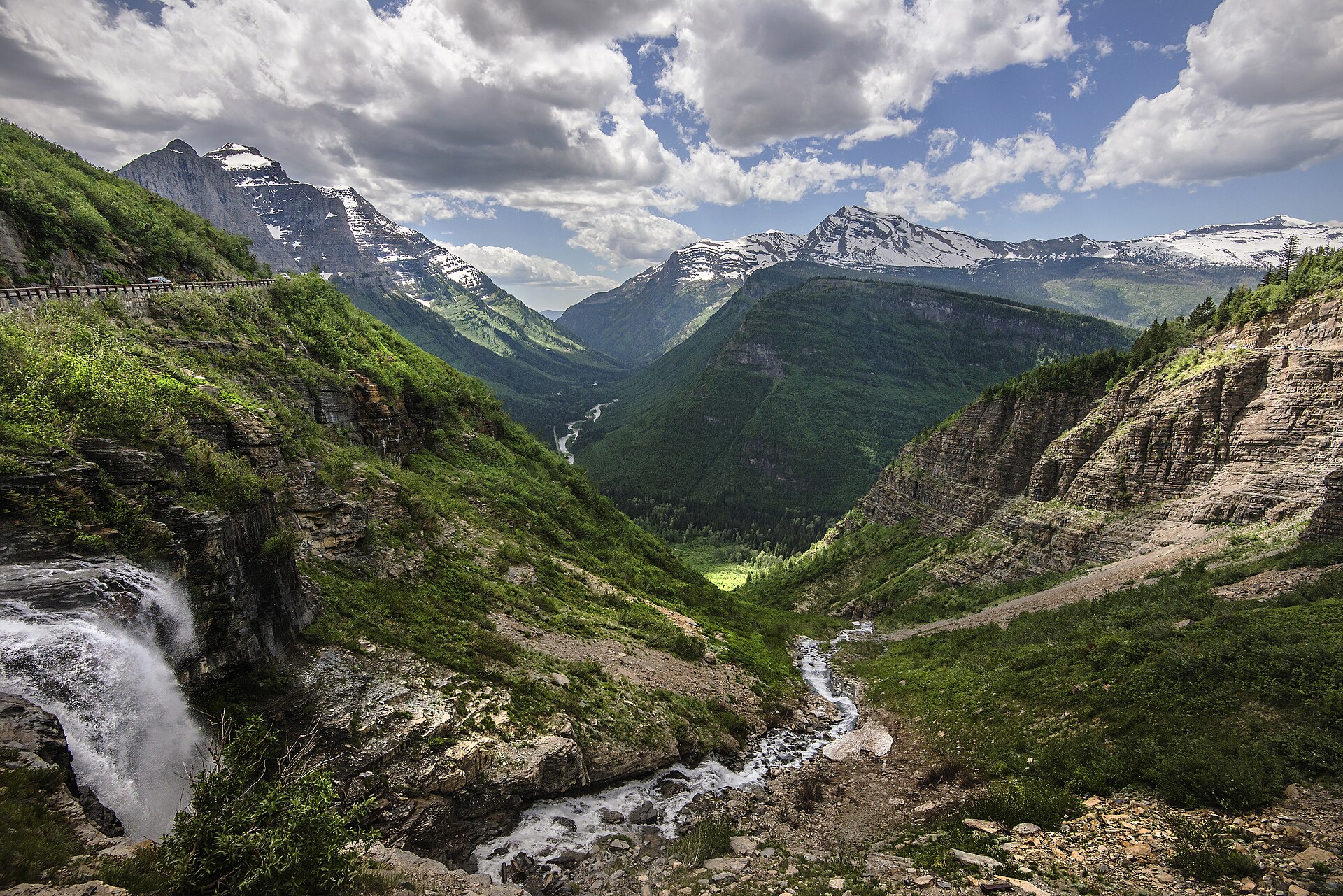 Going-to-the-Sun Road.jpgNPS / Tim Rains · Public domain · Wikimedia Commons
-
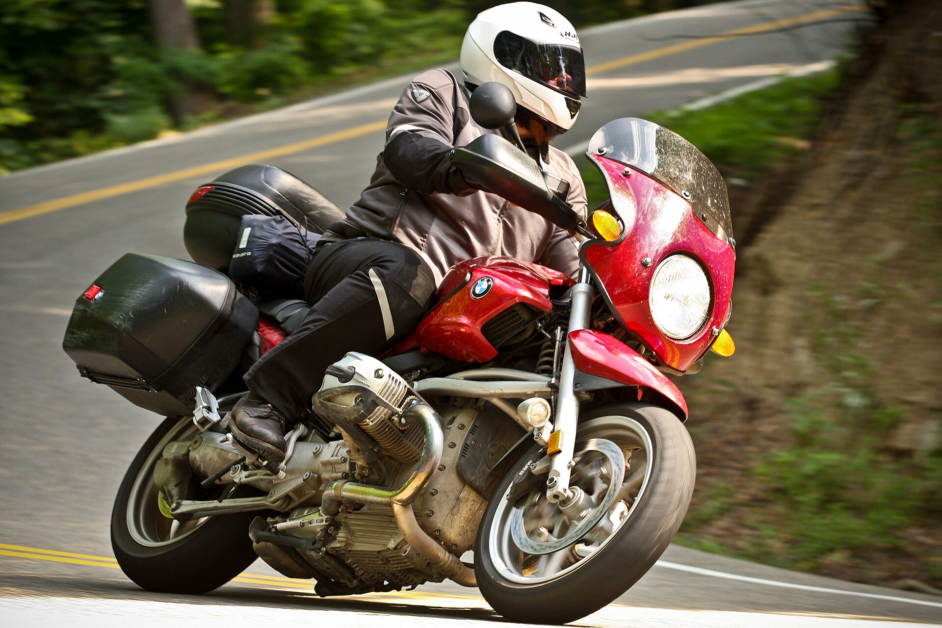 Red BMW on the dragon's tail at Deals Gap, NC.jpgllahbocaj from nyc · CC BY 2.0 · Wikimedia Commons
-
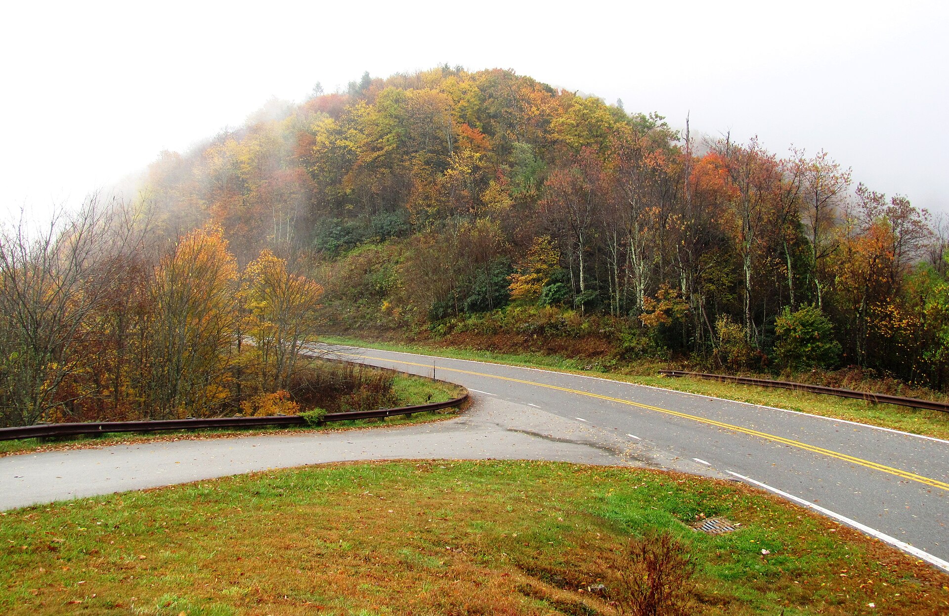 Cherohala-skyway-fall-tn2.jpgBrian Stansberry · CC BY 3.0 · Wikimedia Commons
-
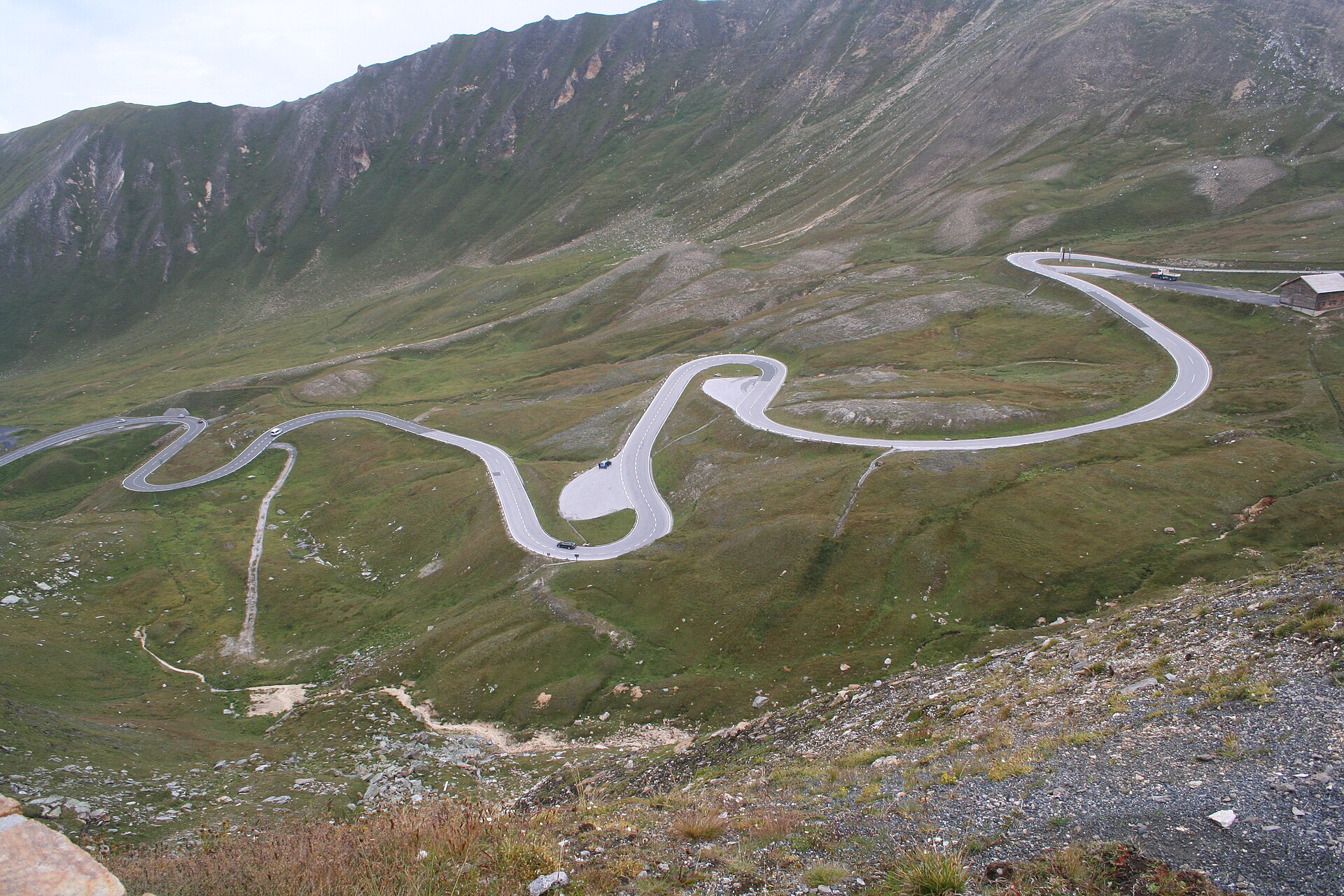 Grossglockner High Alpine Road.JPGIamthestig · CC BY-SA 3.0 · Wikimedia Commons
-
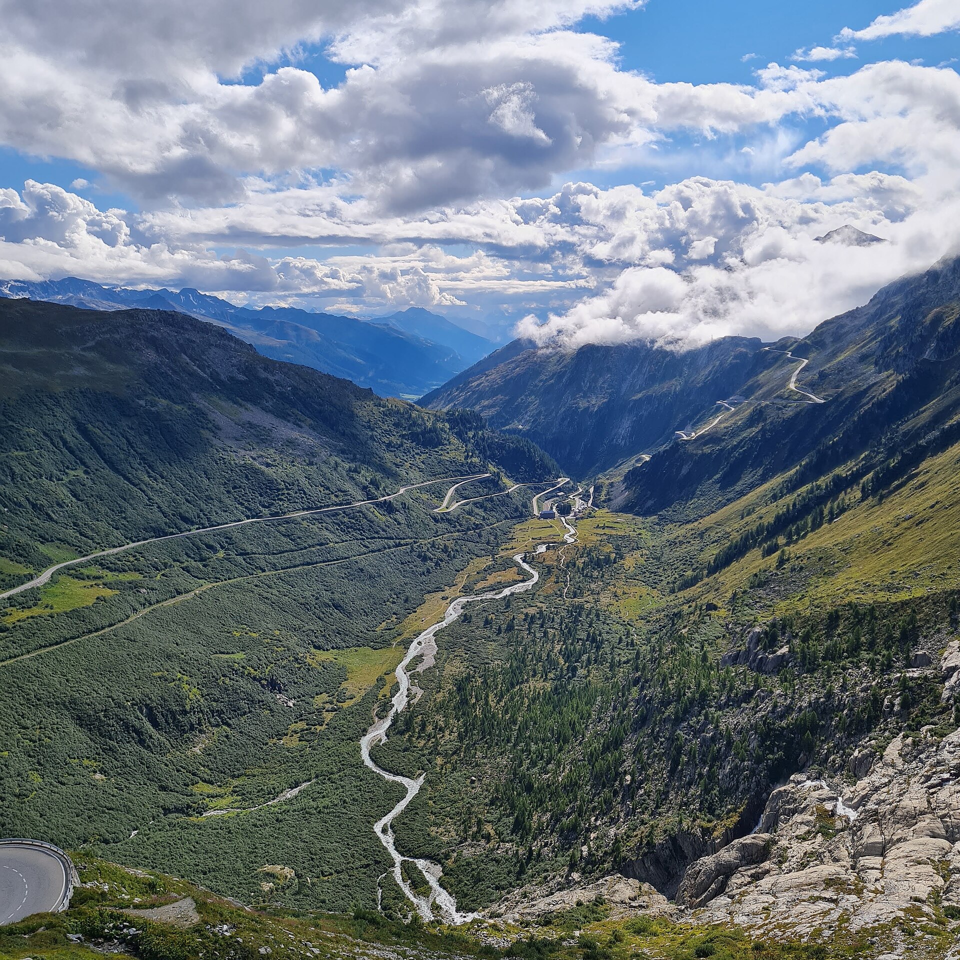 Furka pass Switzerland.jpgDanEmer83 · CC BY-SA 4.0 · Wikimedia Commons
-
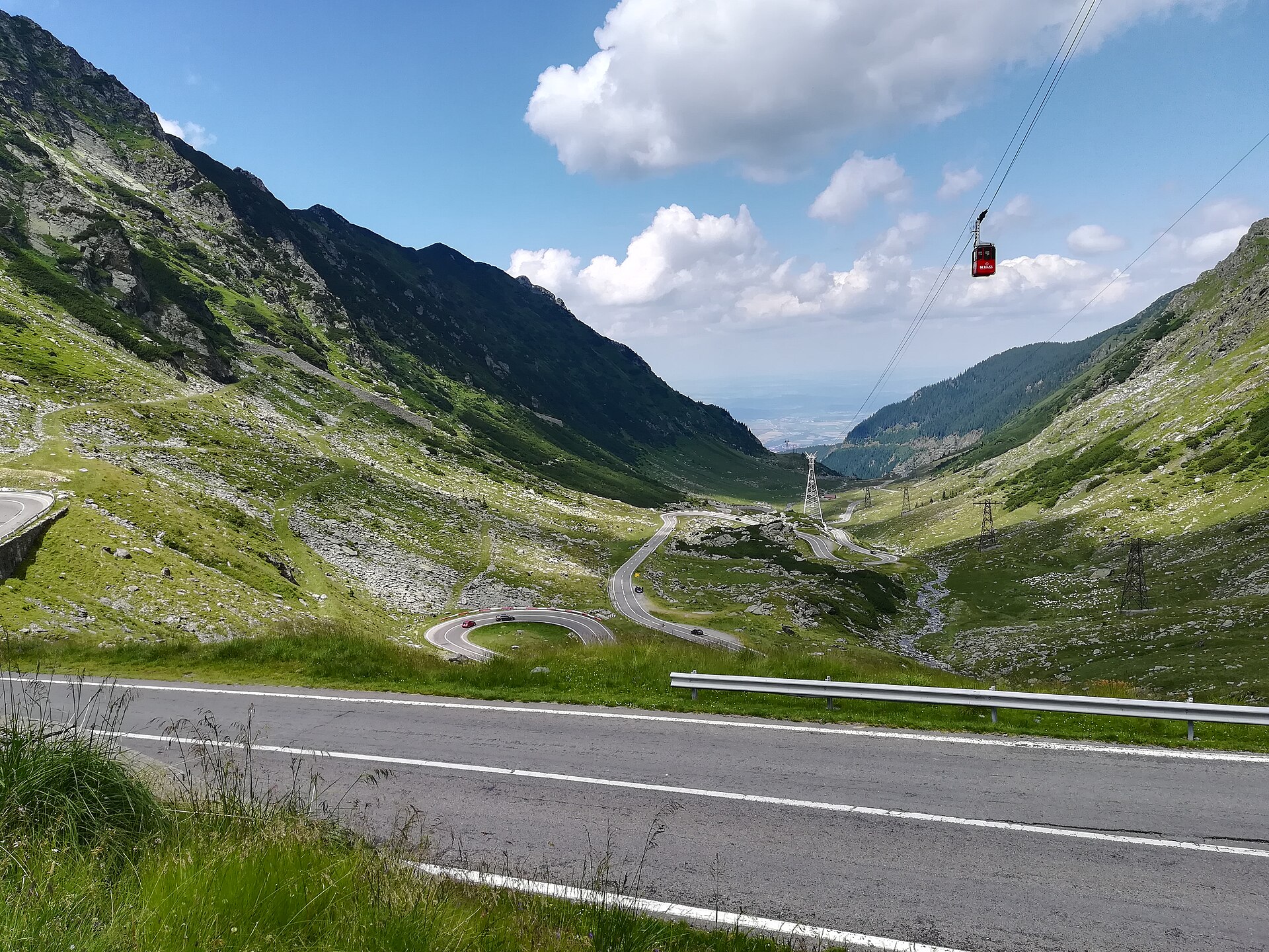 Transfagarasan P190717a.jpgMichał Derela · CC BY-SA 4.0 · Wikimedia Commons
-
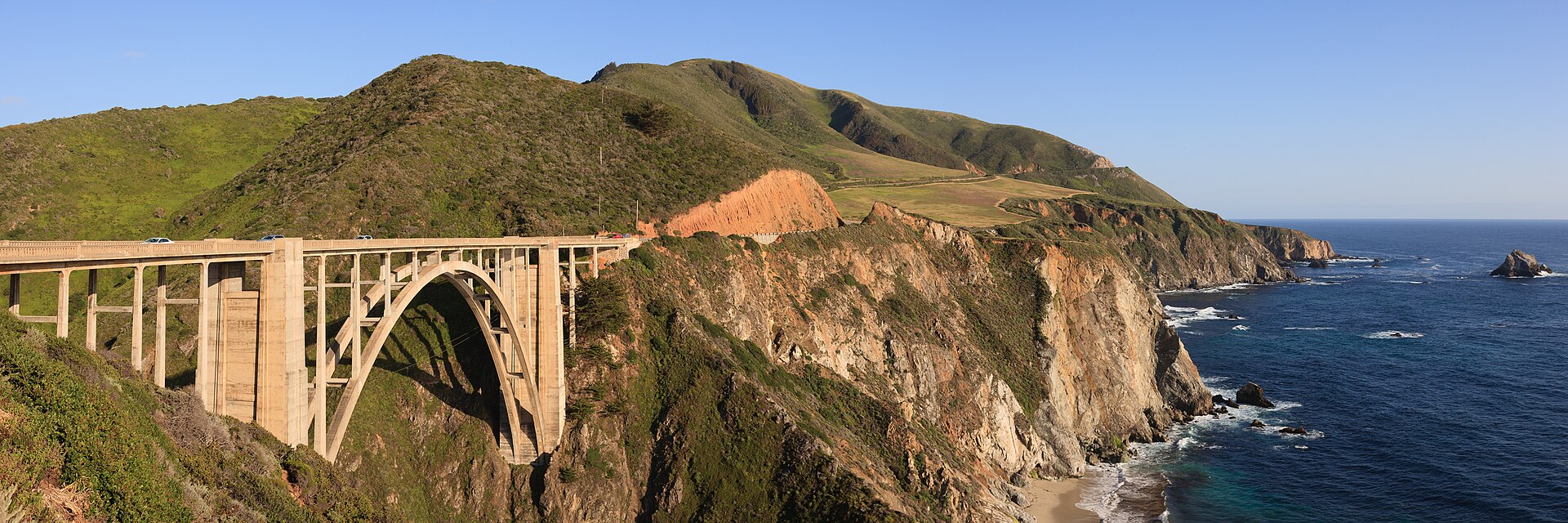 Bixby Creek Bridge May 2011 panorama.jpgKing of Hearts · CC BY-SA 3.0 · Wikimedia Commons
-
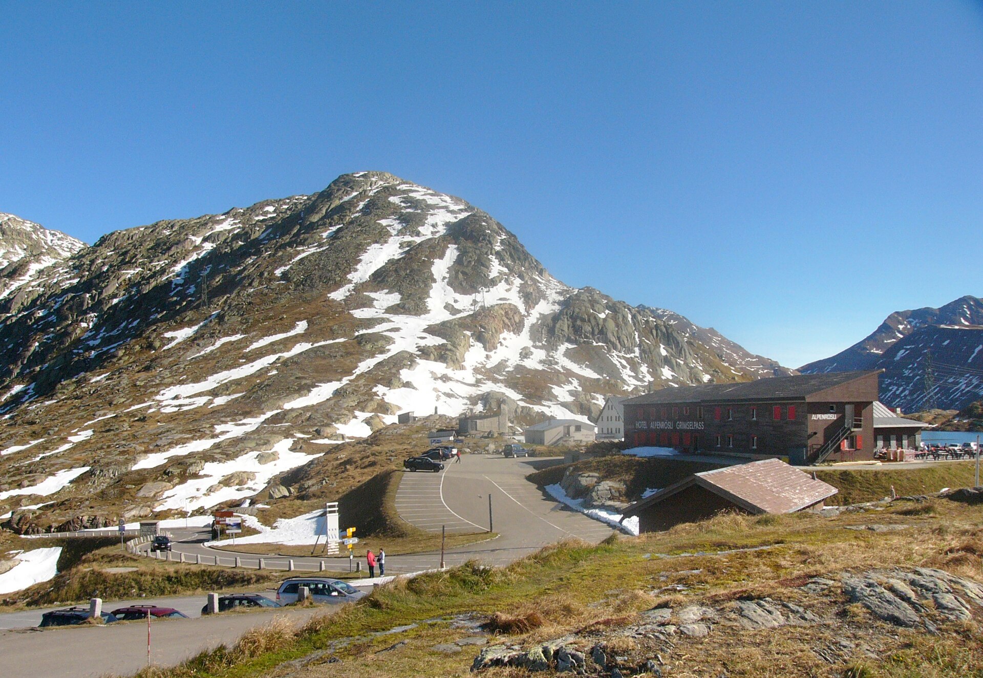 File:Grimselpass-passhöhe01.jpgNikater · Public domain · Wikimedia Commons
-
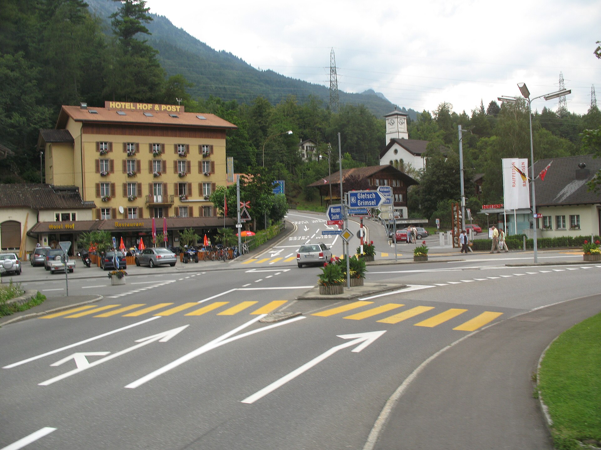 File:6140 - Innertkirchen - Hof-Sustenstrasse at Äppigenstrasse-Grimselstrasse.JPGThisisbossi · CC BY-SA 2.5 · Wikimedia Commons
-
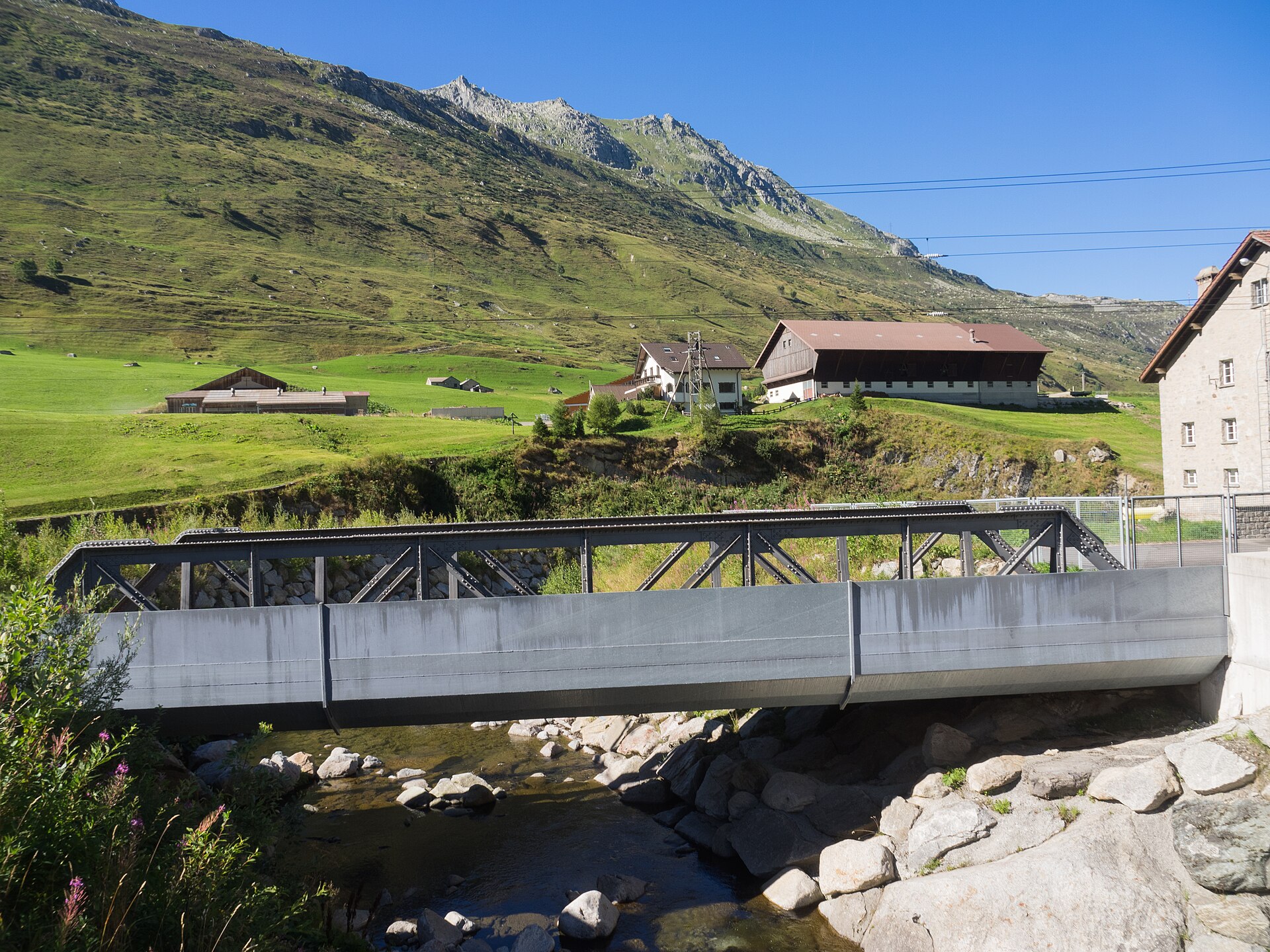 File:SBB Eisenbahnbrücke Gotthardreuss Hospental UR 20160823-jag9889.jpgJag9889 · CC BY-SA 4.0 · Wikimedia Commons
-
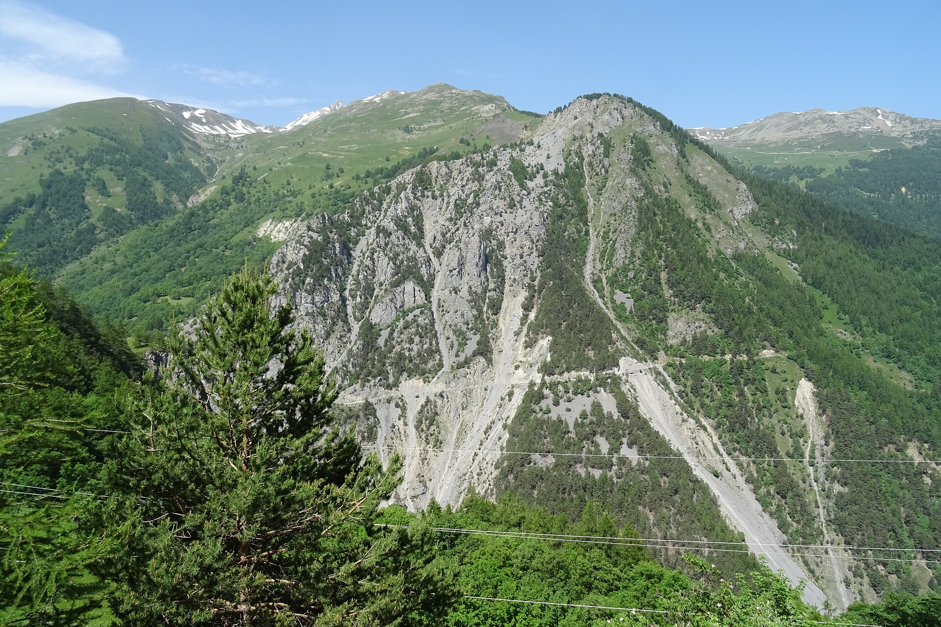 File:20190625 04 Col du Galibier (48127383951).jpgSjaak Kempe from Groningen, The Netherlands · CC BY 2.0 · Wikimedia Commons
-
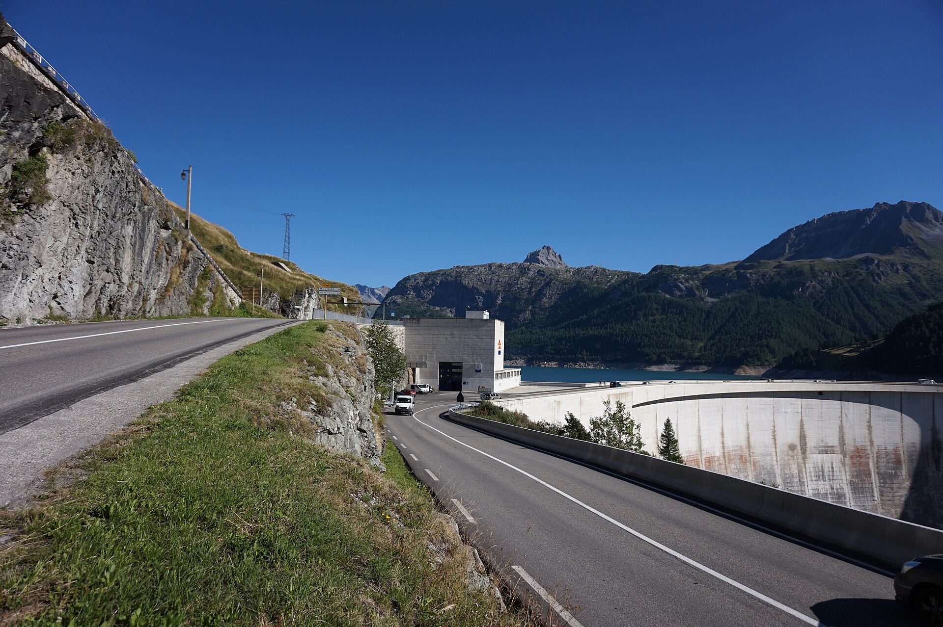 File:D902 and D87A.jpgTiia Monto · CC BY-SA 3.0 · Wikimedia Commons
-
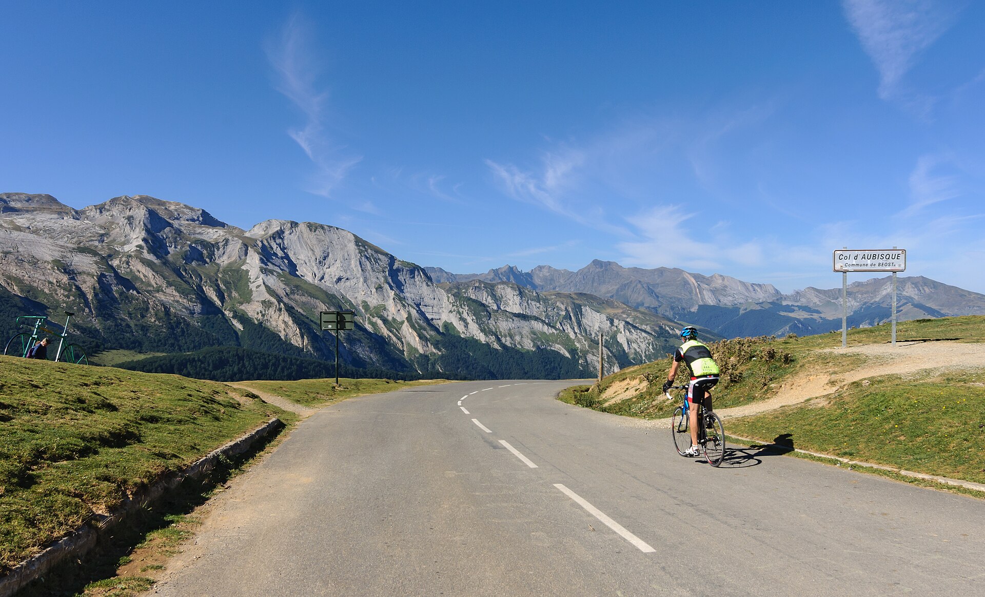 File:Col Aubisque.jpgMyrabella · CC BY-SA 3.0 · Wikimedia Commons
-
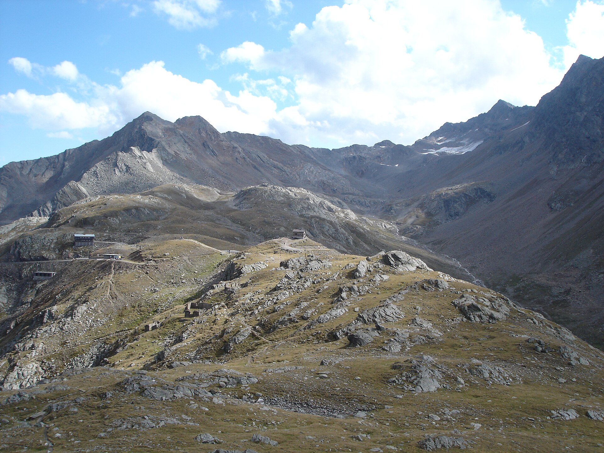 File:Timmelsjoch Total.jpgArne Hückelheim · CC BY-SA 3.0 · Wikimedia Commons
-
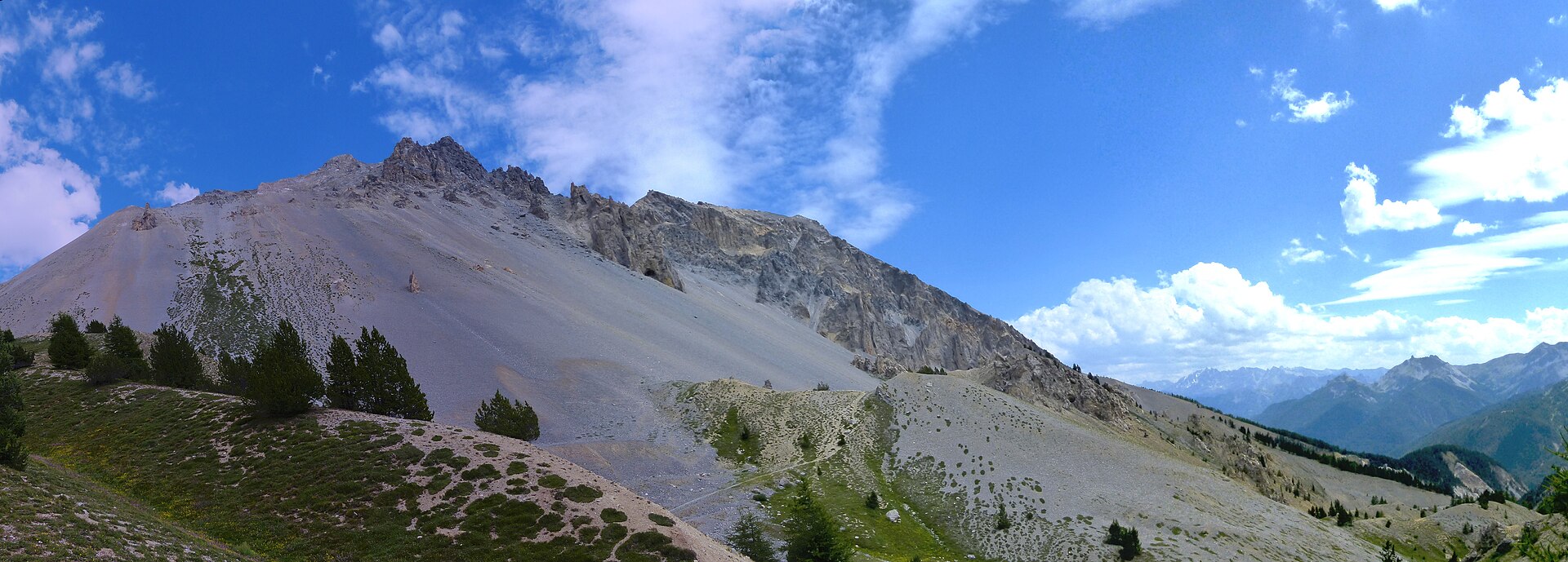 File:La Casse déserte vu du col d'Izoard.jpgMarc Mongenet · CC BY-SA 4.0 · Wikimedia Commons
-
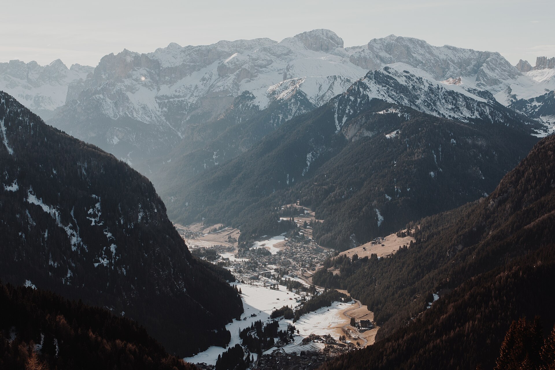 File:Mountain valley in Canazei (Unsplash).jpgBenjamin Voros vorosbenisop · CC0 · Wikimedia Commons
-
 File:Mountain valley in Canazei (Unsplash).jpgBenjamin Voros vorosbenisop · CC0 · Wikimedia Commons
-
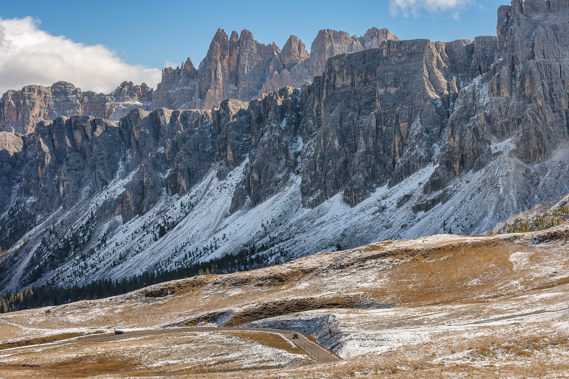 File:SP638 road at Passo Giau with Lastoni di Formin and Croda da Lago groups, San Vito di Cadore, Veneto, Italy, 2025 October.jpgXimonic (Simo Räsänen) · CC BY-SA 4.0 · Wikimedia Commons
-
 File:Daniele1357 Sella Marmolada.jpgDaniele1357 · CC BY-SA 3.0 · Wikimedia Commons
-
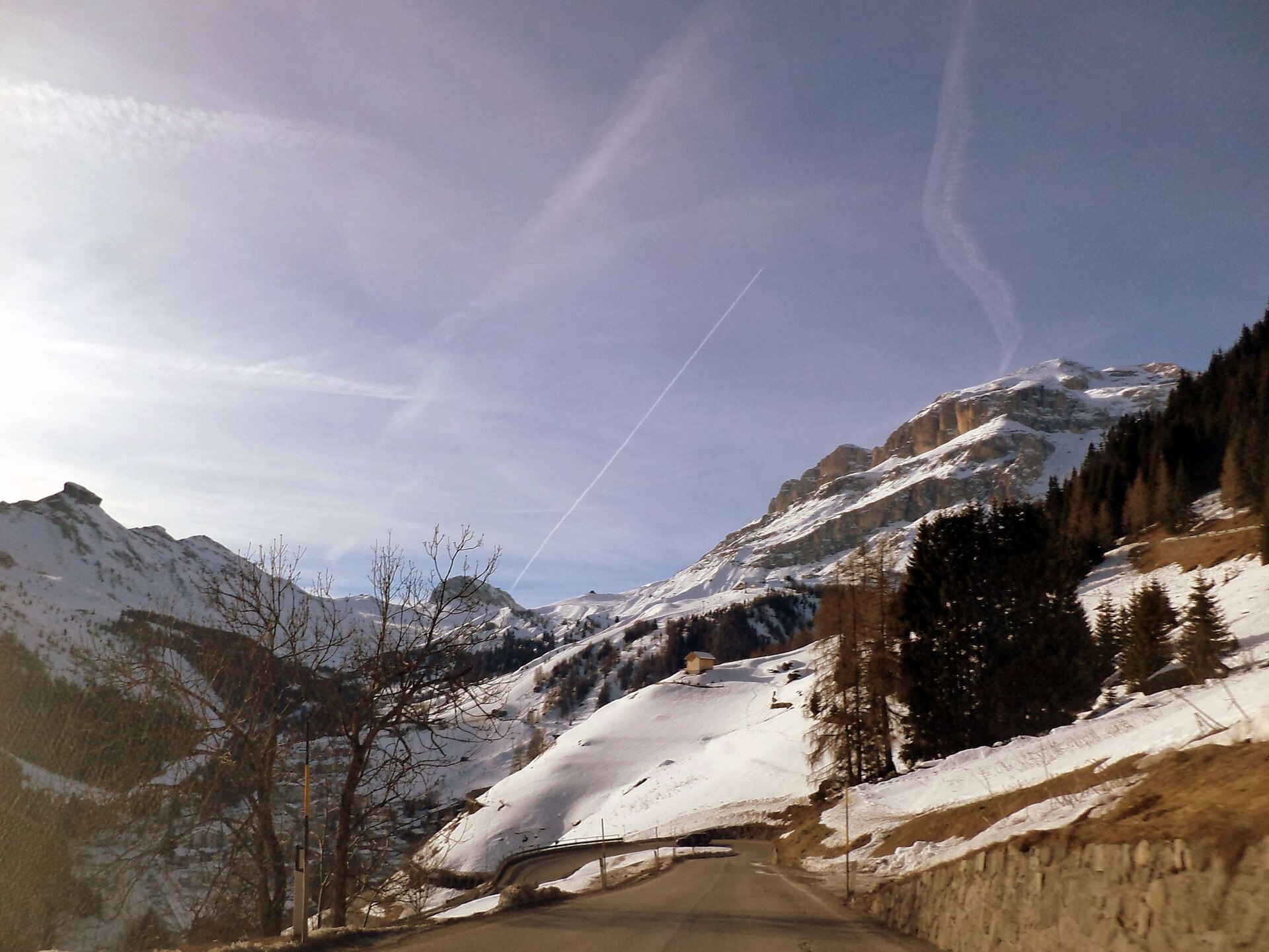 File:Arabba - View on Passo Pordoi, Sella Ronda .. - panoramio.jpgZoran Kurelić Rabko · CC BY-SA 3.0 · Wikimedia Commons
-
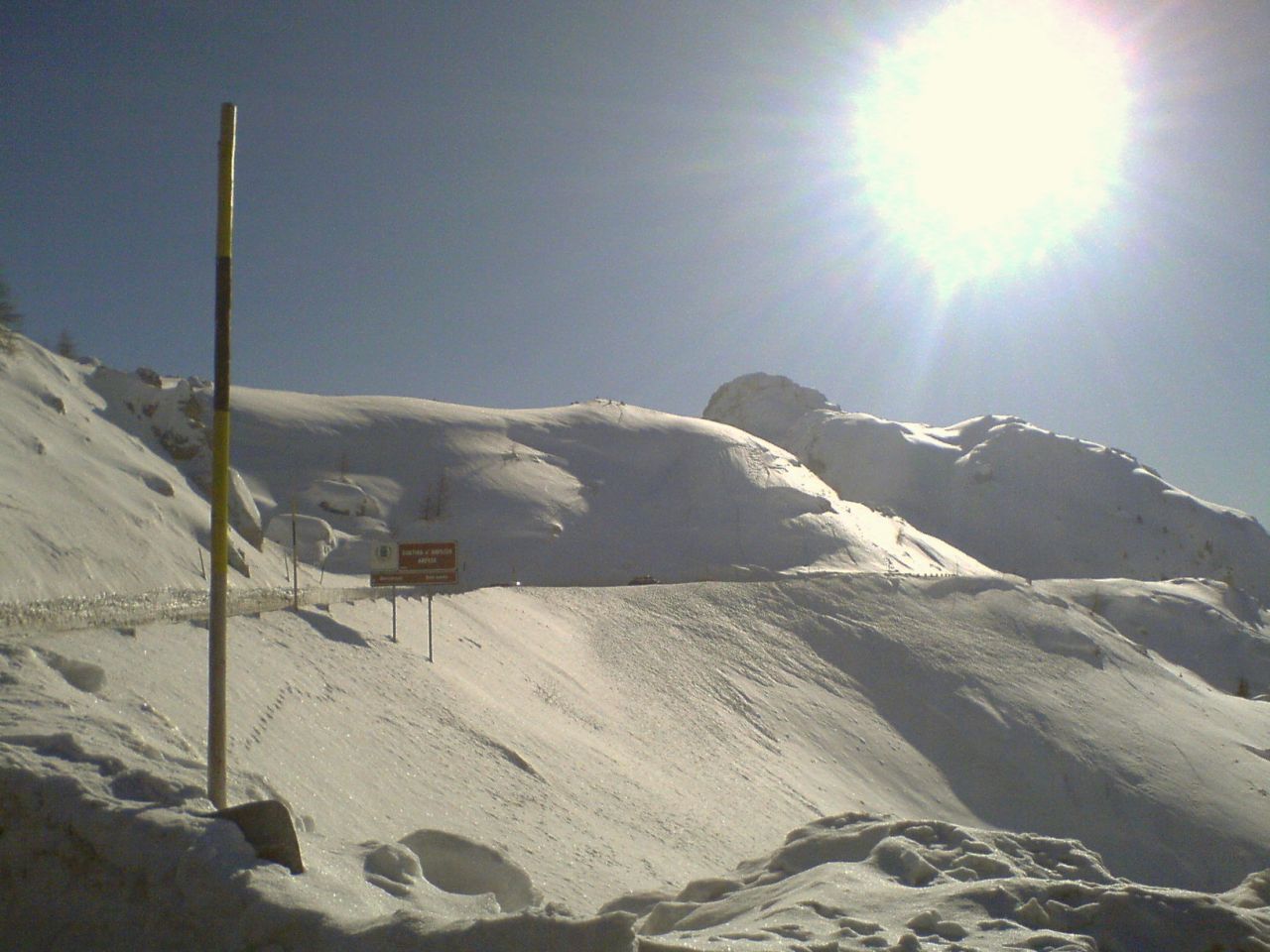 File:Passo di Valparola, 2192 metres-View from Passo Falzarego - panoramio.jpgZoran Kurelić Rabko · CC BY-SA 3.0 · Wikimedia Commons
-
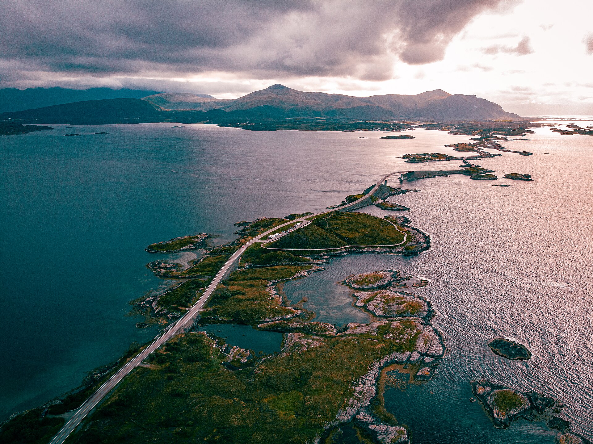 File:Route de l'Atlantique en norvège.jpgClementp.fr · CC BY-SA 4.0 · Wikimedia Commons
-
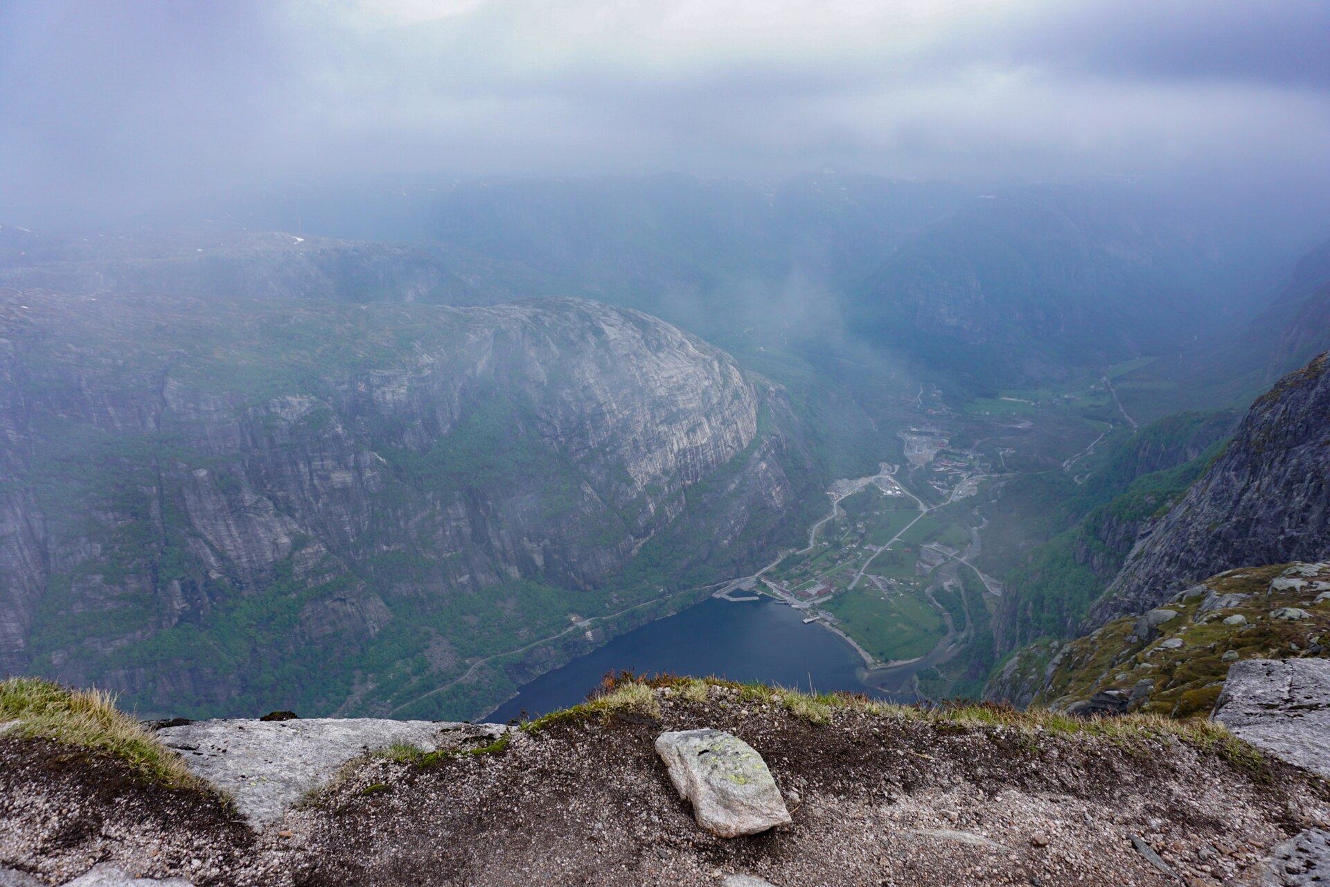 File:Blick Auf Den Lysefjord (219514965).jpegHeike Kranacher · CC BY 3.0 · Wikimedia Commons
-
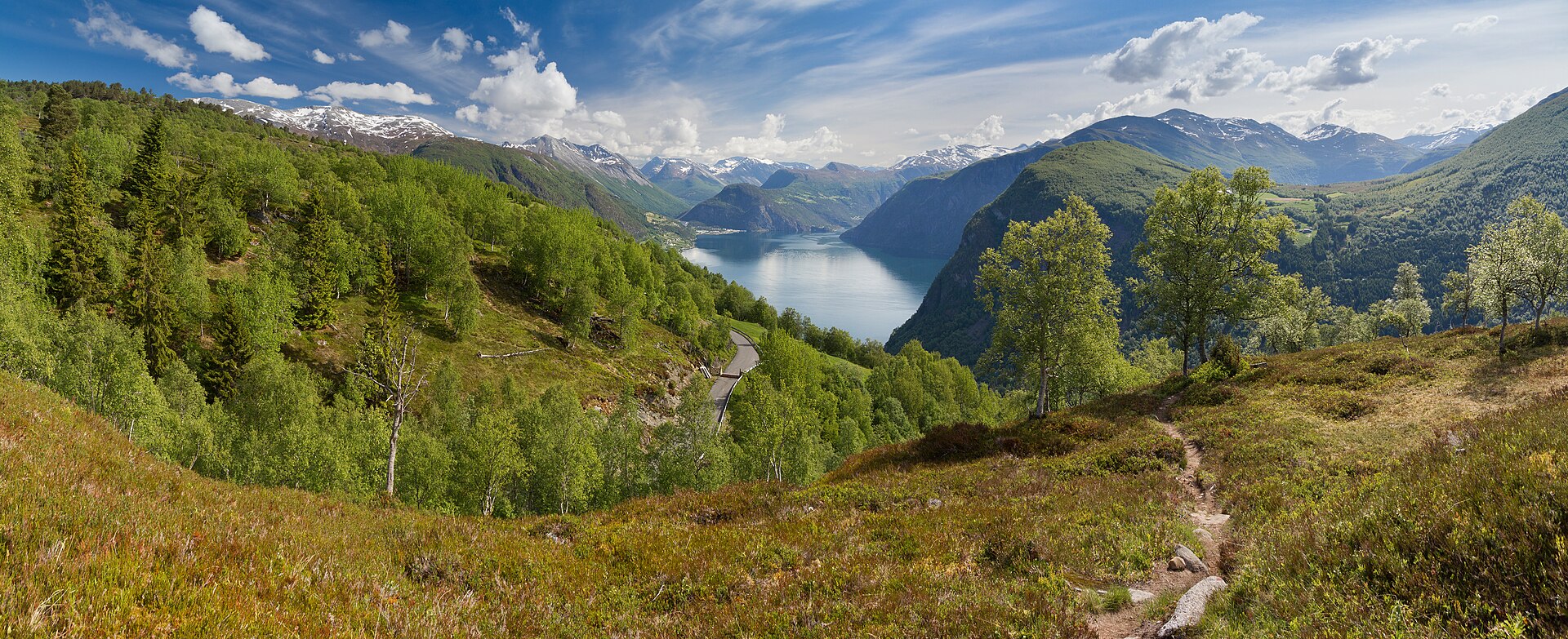 File:A view towards Norddalsfjorden near Kilsti, Møre og Romsdal, Norway, 2013 June.jpgXimonic (Simo Räsänen) · CC BY-SA 3.0 · Wikimedia Commons
-
 File:National Tourist Routes in Norway banner.jpgDavide Mauro · CC BY-SA 4.0 · Wikimedia Commons
-
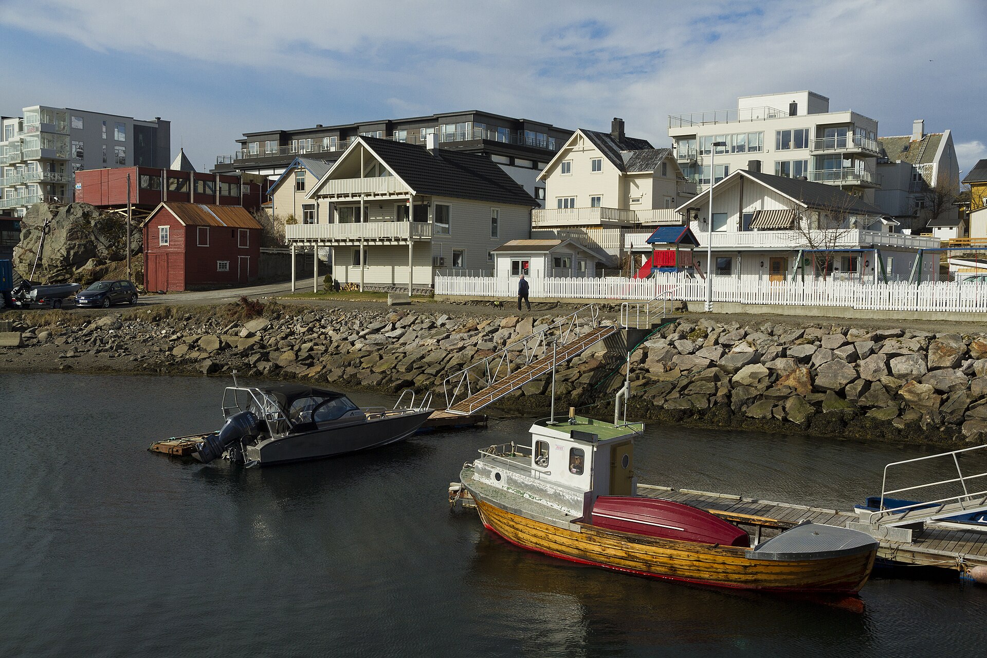 File:Boat docks between Bakkegata and Parkgata, Svolvær, Austvågøya, Lofoten, Norway, 2015 April.jpgXimonic (Simo Räsänen) · CC BY-SA 4.0 · Wikimedia Commons
-
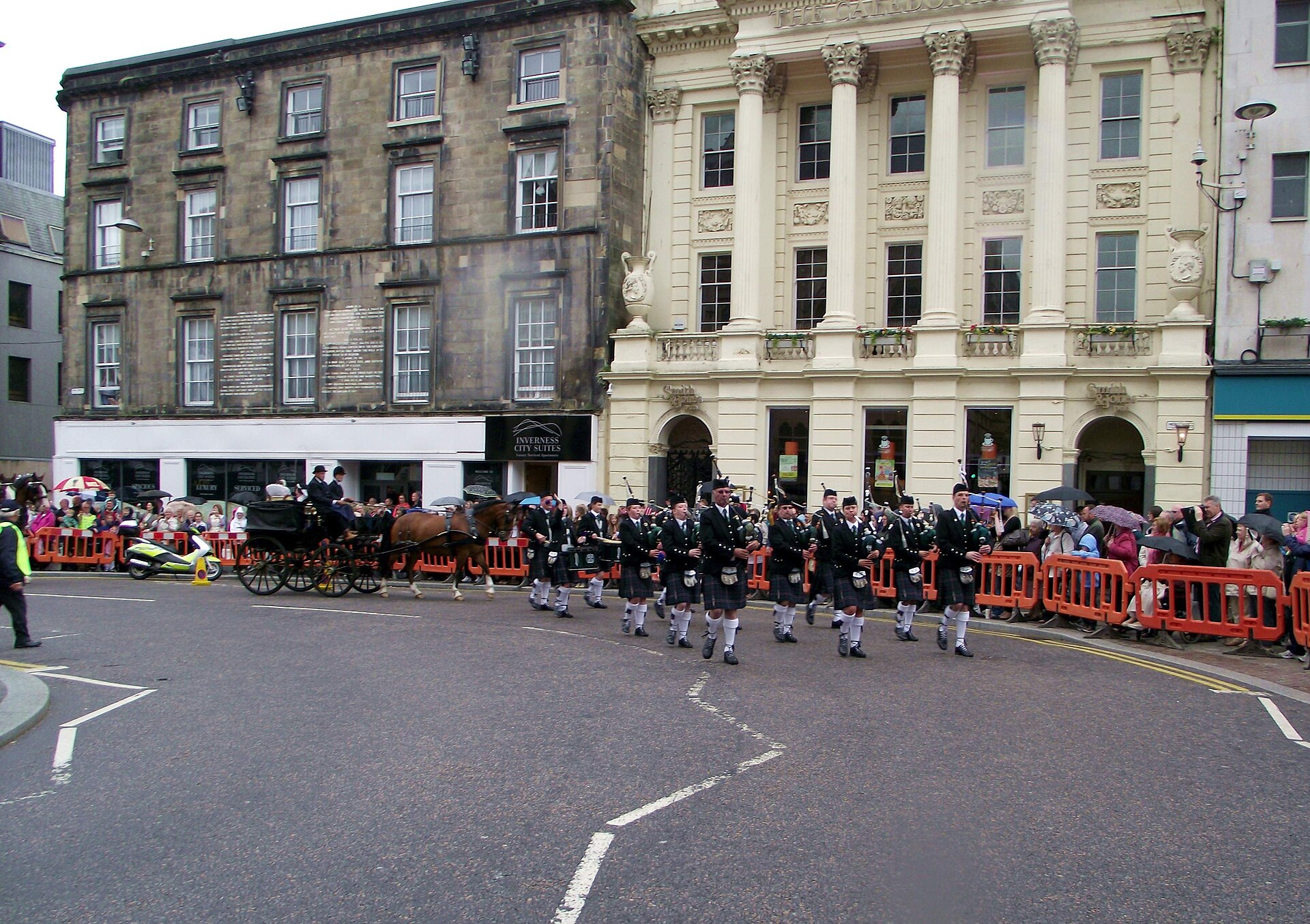 File:Northern Constabulary Pipe Band at Marymas Fair Parade Inverness scotland (5845901137).jpgDave Conner from Inverness, Scotland · CC BY 2.0 · Wikimedia Commons
-
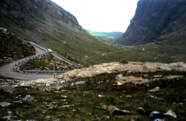 File:Bealach na Ba - geograph.org.uk - 1195402.jpgronnie leask · CC BY-SA 2.0 · Wikimedia Commons
-
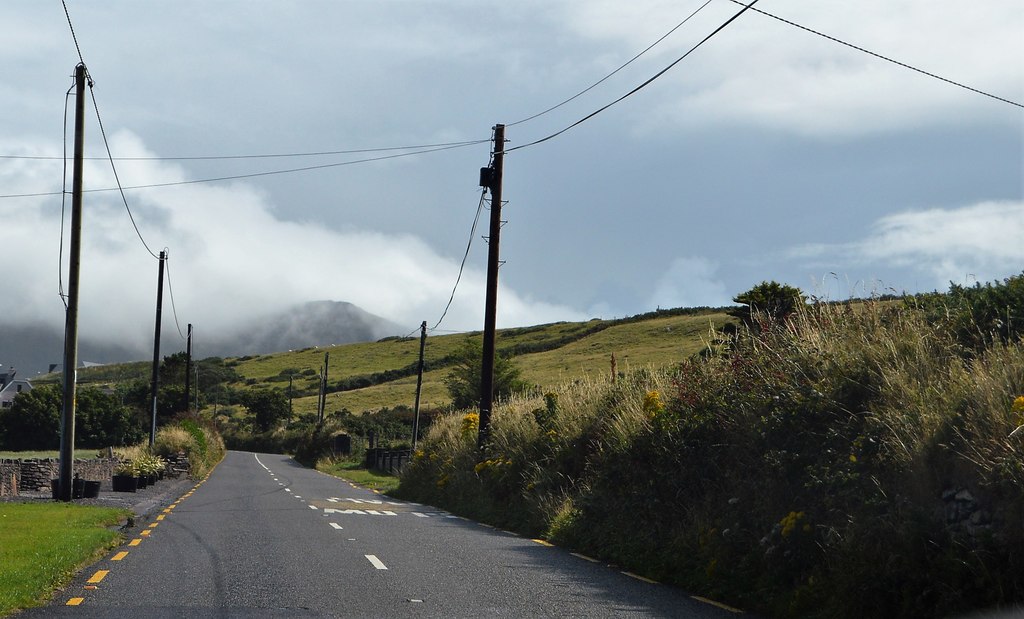 File:R560 - geograph.org.uk - 5950378.jpgN Chadwick · CC BY-SA 2.0 · Wikimedia Commons
-
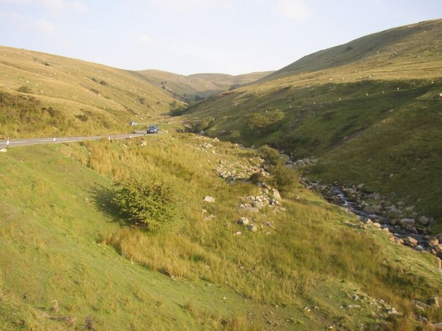 File:The A4069 cuts through the Black Mountains - geograph.org.uk - 947141.jpgRoger · CC BY-SA 2.0 · Wikimedia Commons
-
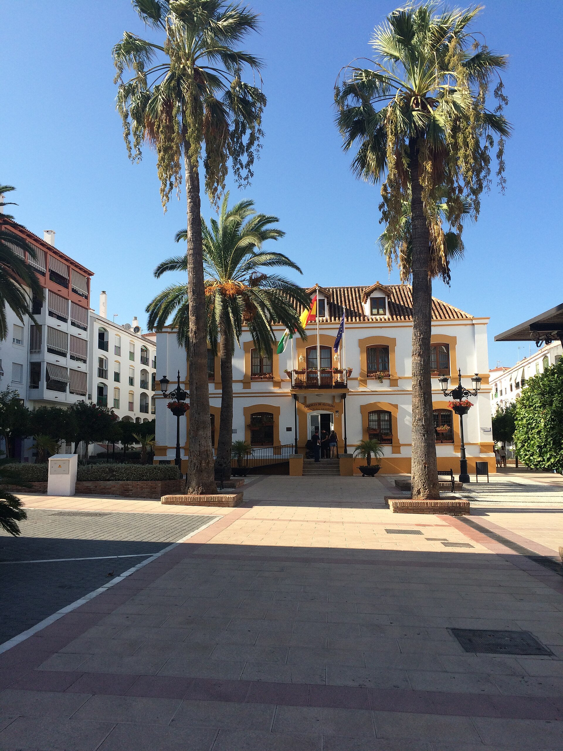 File:San Pedro Alcántara (20476091164).jpgAntonio Periago Miñarro from Murcia, España · CC BY-SA 2.0 · Wikimedia Commons
-
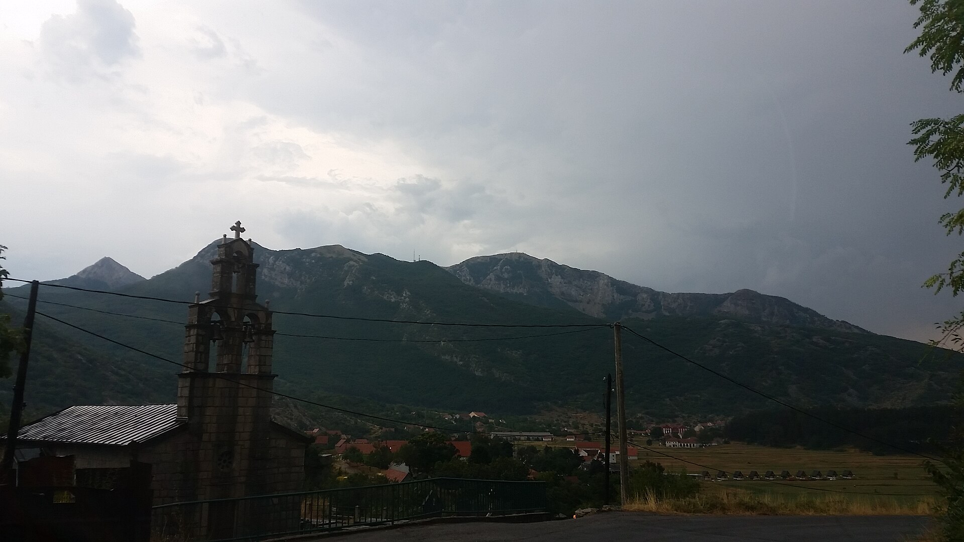 File:P1, Montenegro - panoramio (1).jpgines lukic · CC BY 3.0 · Wikimedia Commons
-
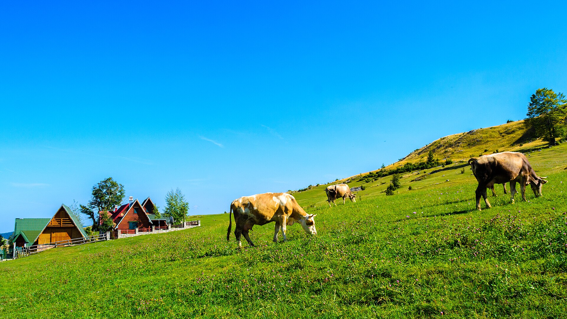 File:Durmitor (21419490225).jpgNick Savchenko from Kiev, Ukraine · CC BY-SA 2.0 · Wikimedia Commons
-
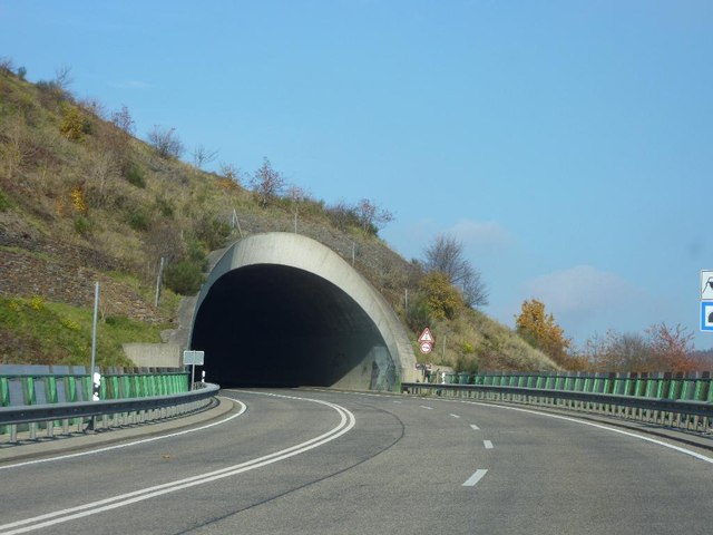 File:Tunneleinfahrt auf der B257 bei Altenahr - geo.hlipp.de - 15520.jpgUdo und Joan Fugel on geo.hlipp.de · CC BY-SA 2.0 · Wikimedia Commons
-
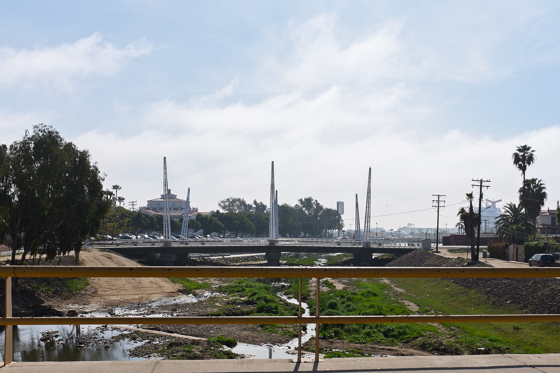 File:El Arroyo Ensenada BC México.jpgLl1324 · CC0 · Wikimedia Commons
-
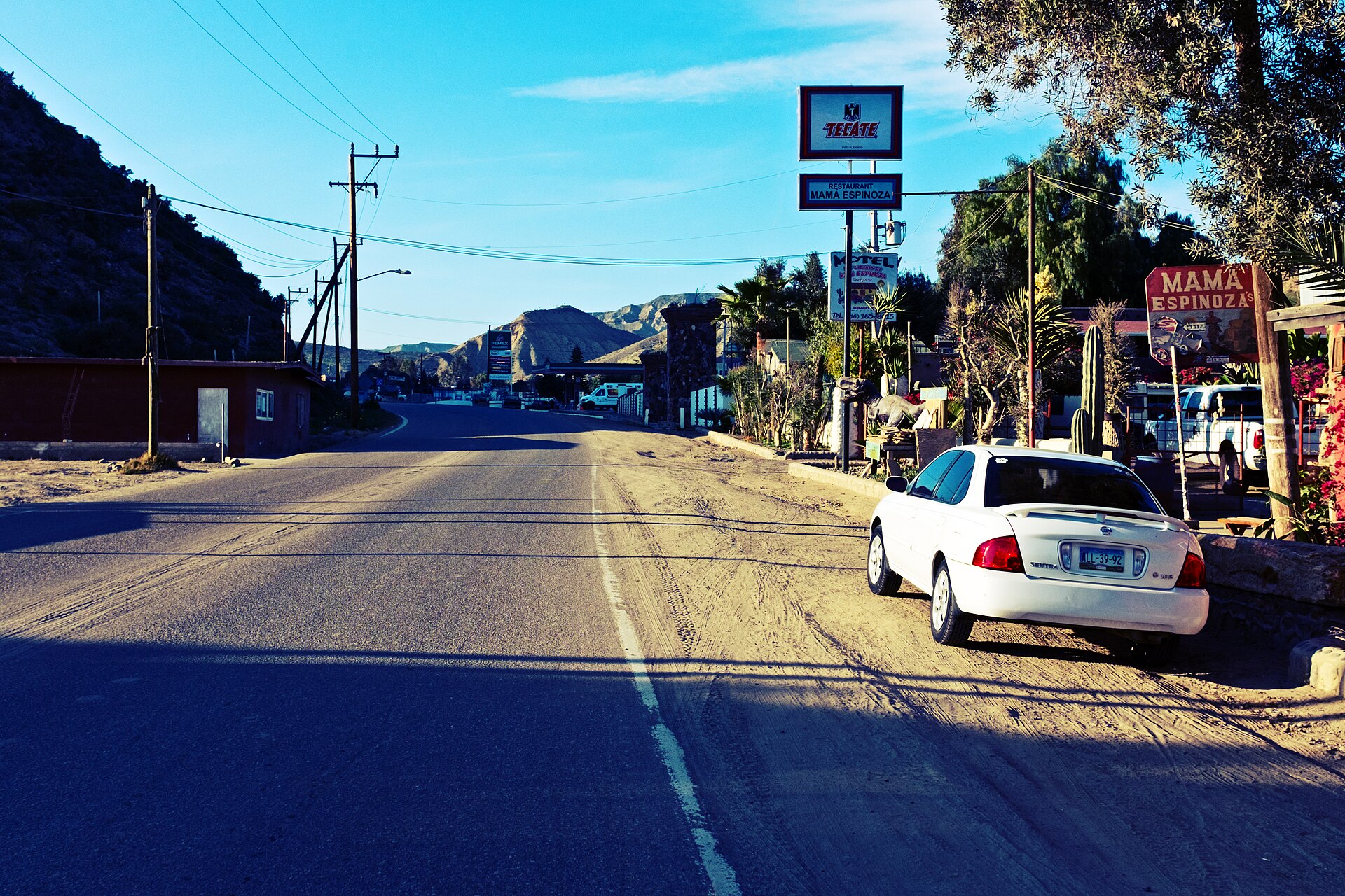 File:El Rosario, BC Mexico from highway.jpgLl1324 · CC0 · Wikimedia Commons
-
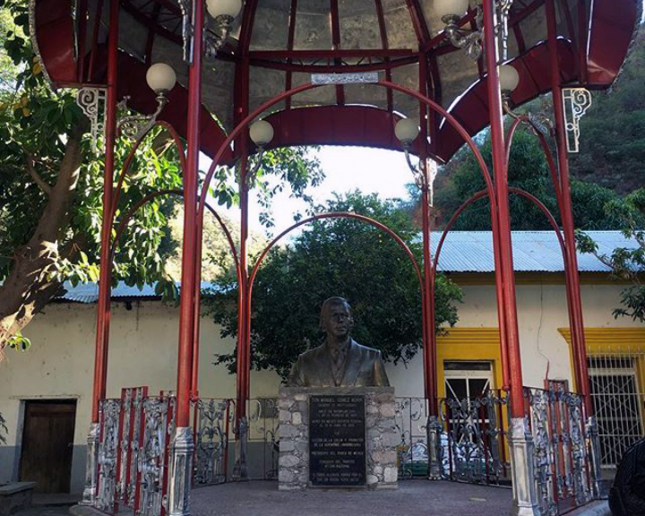 File:Kiosko en Batopilas-2.jpgMikSed · CC BY 4.0 · Wikimedia Commons
-
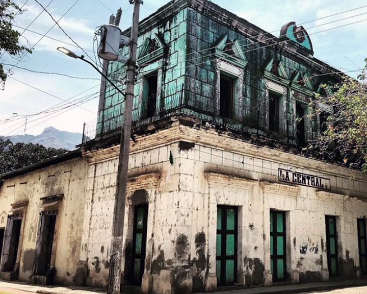 File:La Centrale en Urique.jpgMikSed · CC BY 4.0 · Wikimedia Commons
-
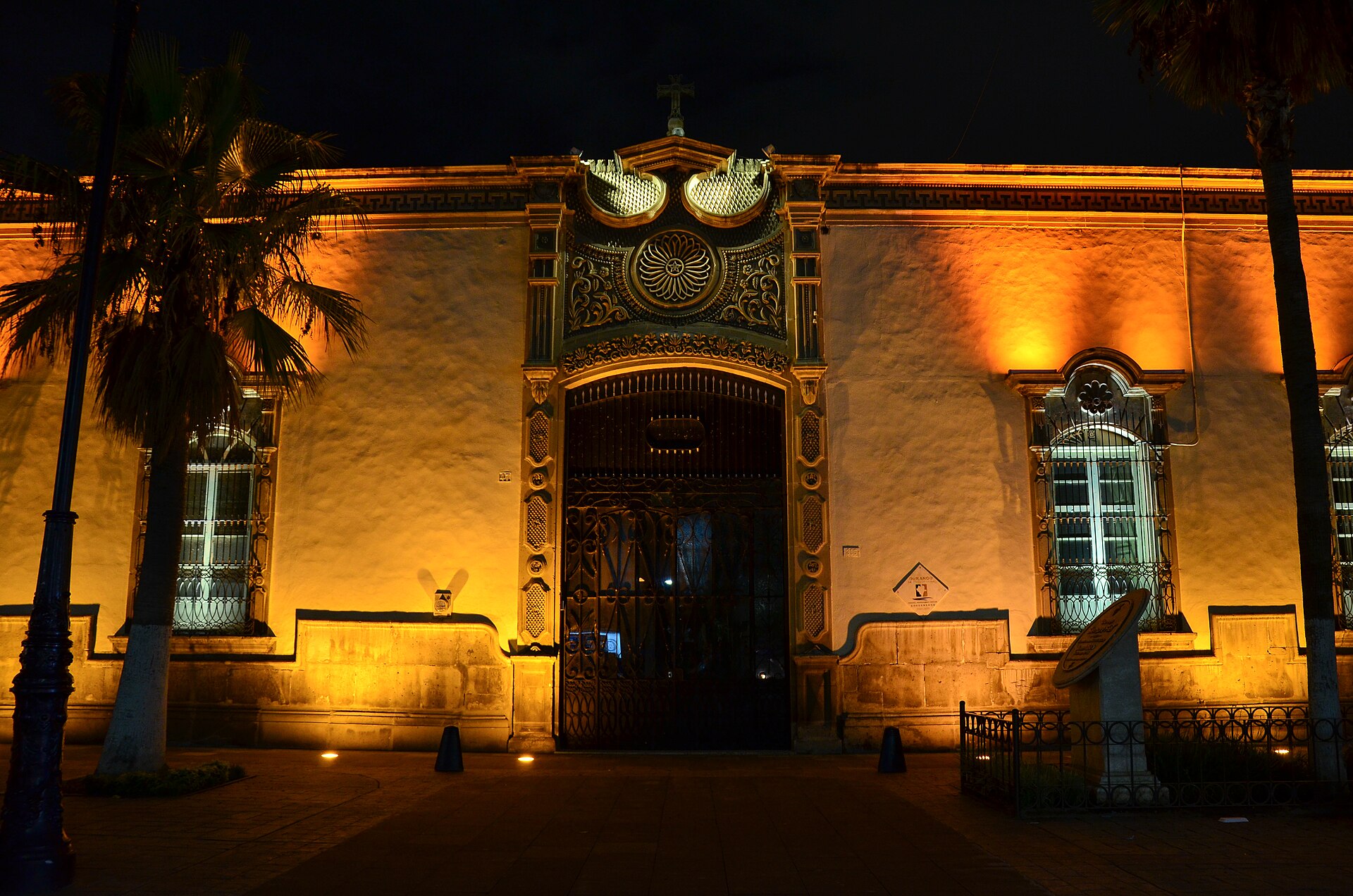 File:Arzobispado Durango.jpgFrancisco González Pulido · CC BY-SA 3.0 · Wikimedia Commons
-
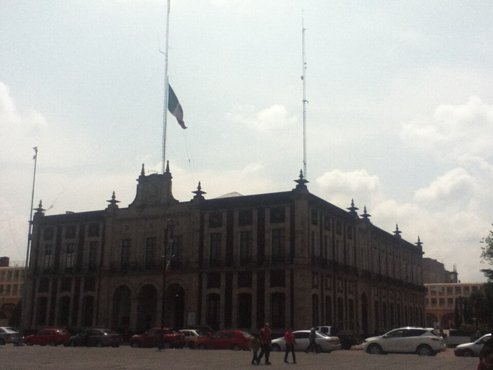 File:Palacio Municipal De toluca.JPGMikeRedhcp · CC BY-SA 3.0 · Wikimedia Commons
-
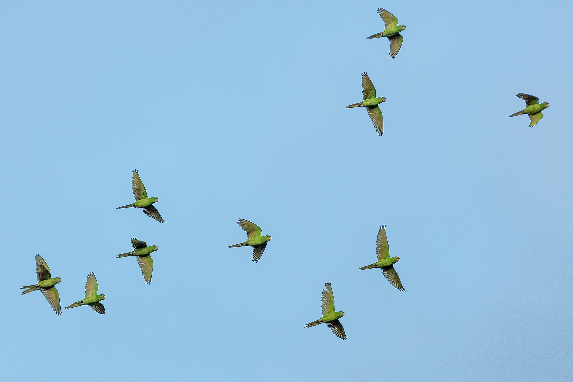 File:Chiapas, Mexico (Unsplash).jpgGareth Davies gdfoto · CC0 · Wikimedia Commons
-
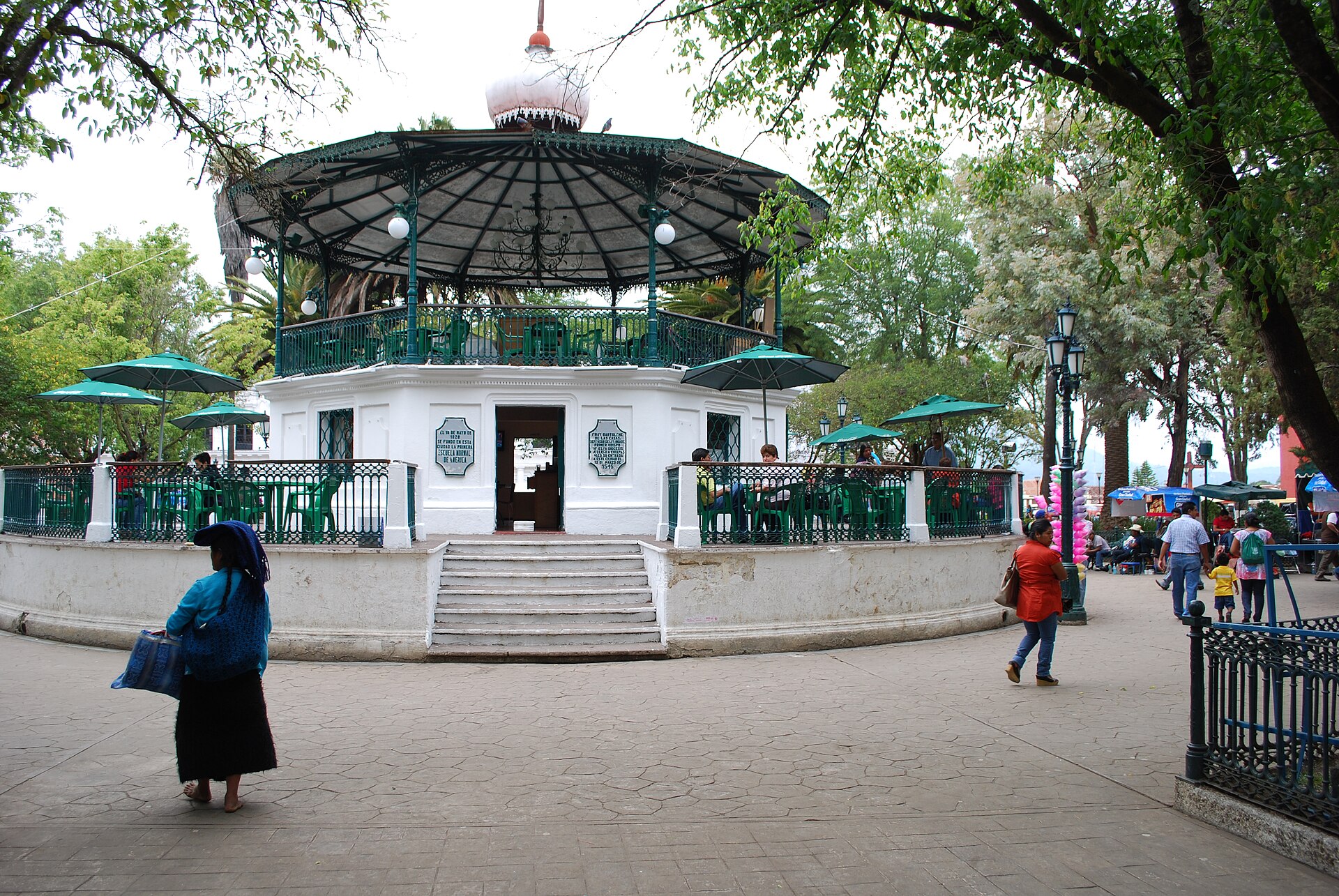 File:KioskMainPlazaSanCris.JPGAlejandroLinaresGarcia · CC BY-SA 4.0 · Wikimedia Commons
-
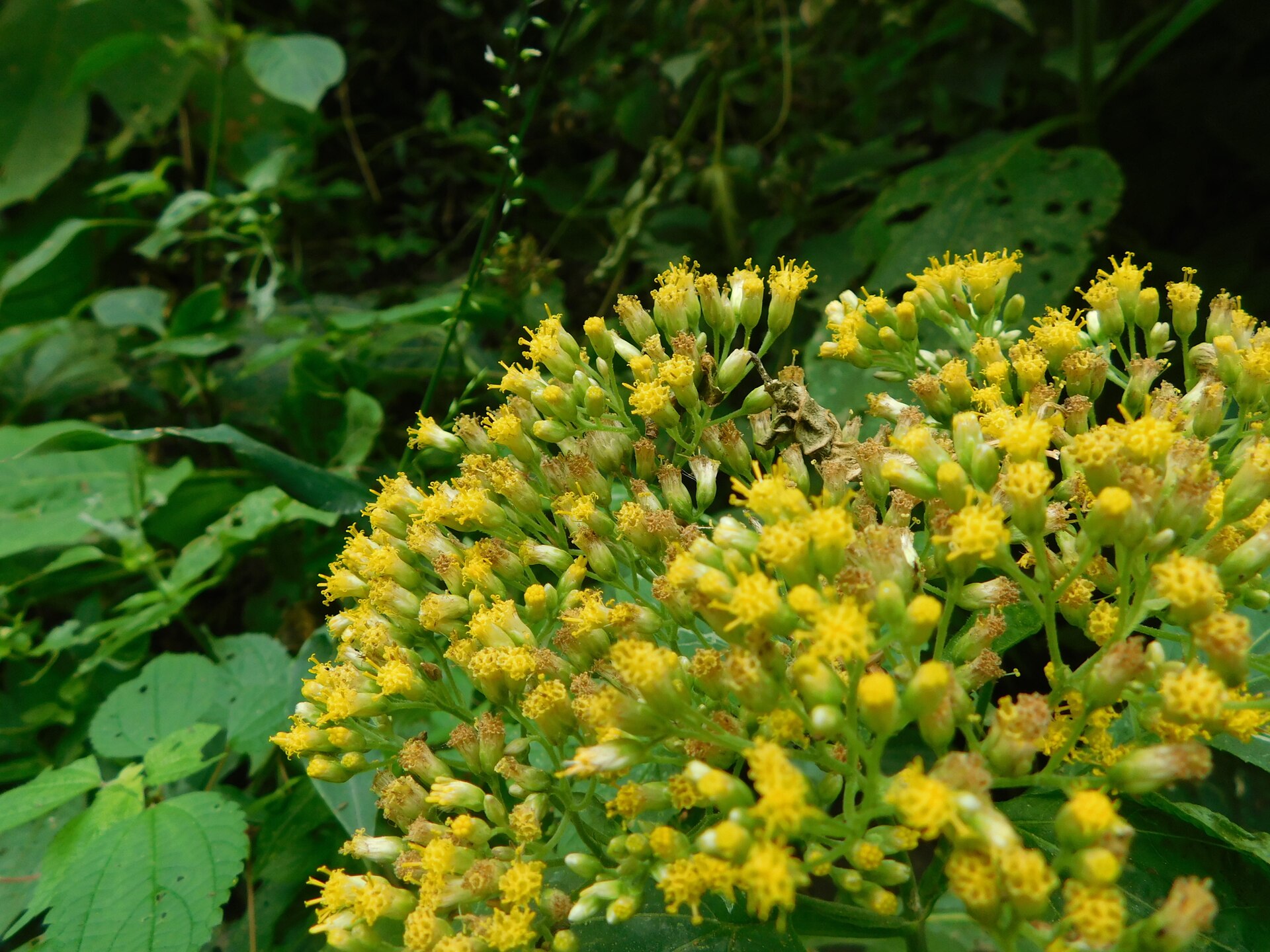 File:Schistocarpha eupatorioides 8980819.jpgFernando Bautista · CC BY 4.0 · Wikimedia Commons
-
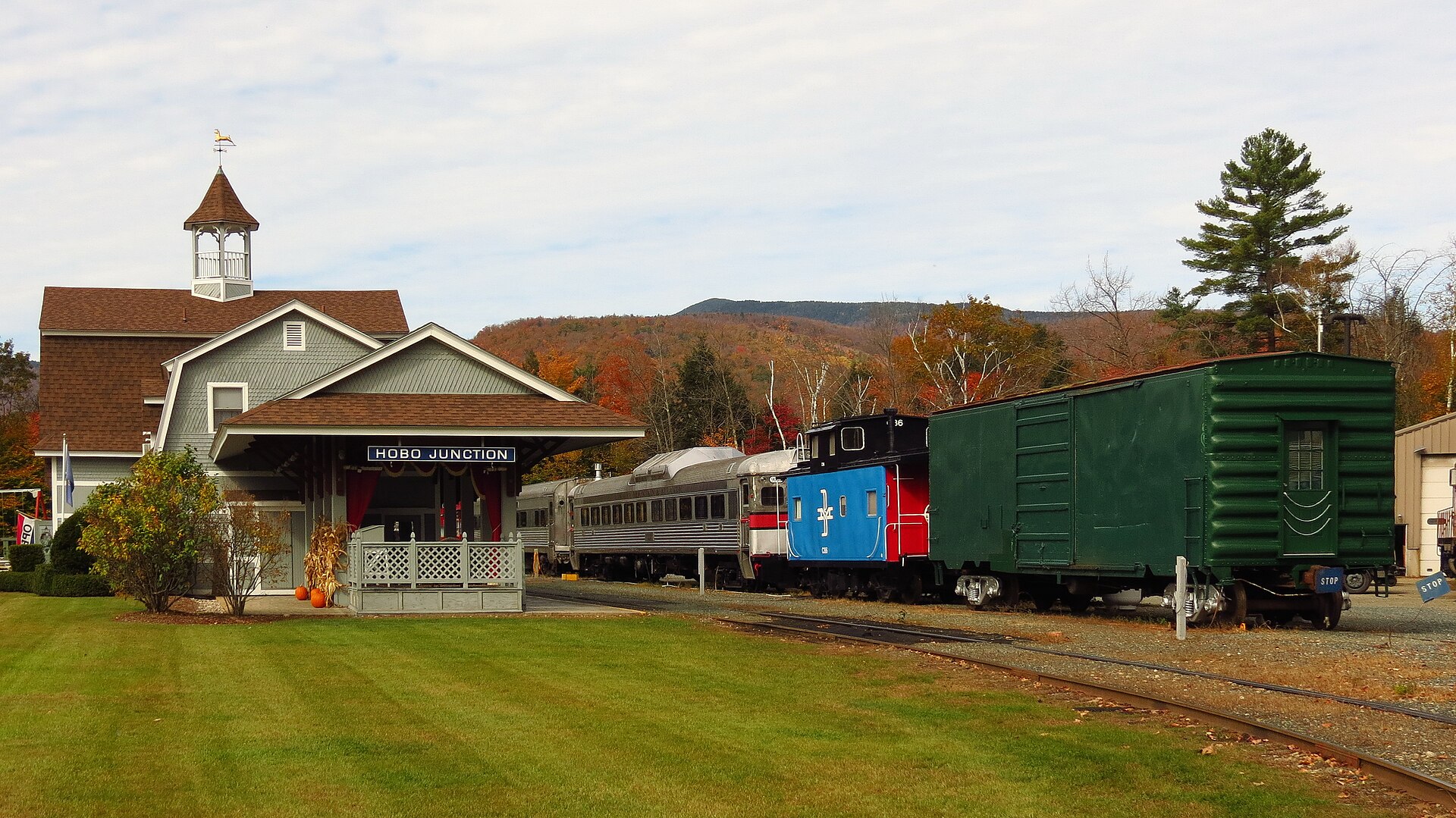 File:Hobo Railroad, Railroad St, Lincoln (494229) (11925033266).jpgRobert Linsdell from St. Andrews, Canada · CC BY 2.0 · Wikimedia Commons
-
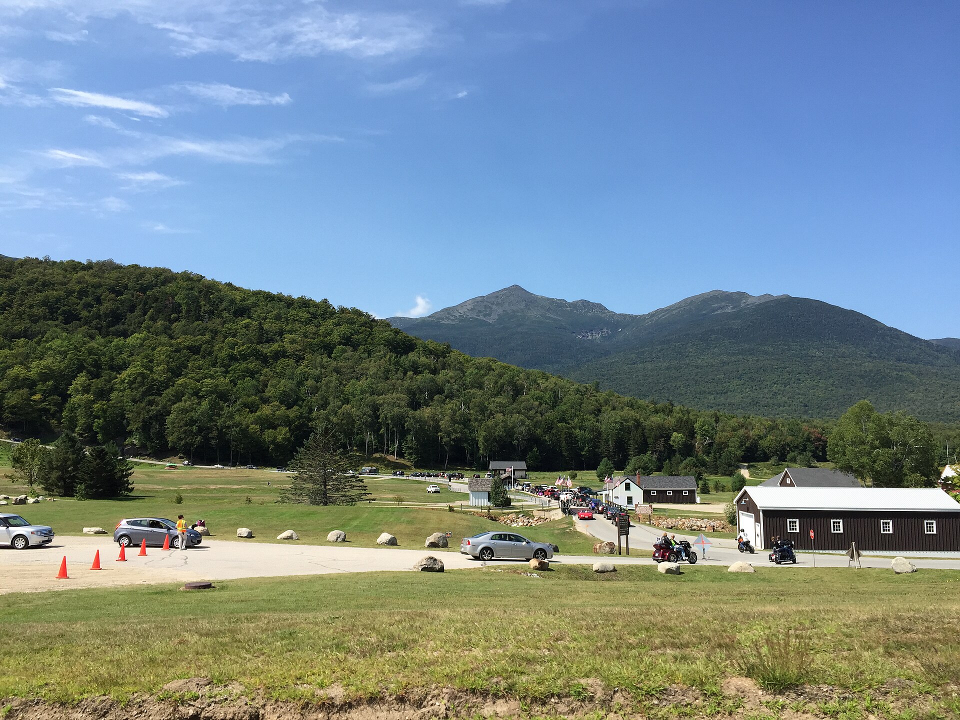 File:2016-09-03 13 13 01 The bottom (east) end of the Mount Washington Auto Road in Green's Grant Township, Coos County, New Hampshire.jpgFamartin · CC BY-SA 4.0 · Wikimedia Commons
-
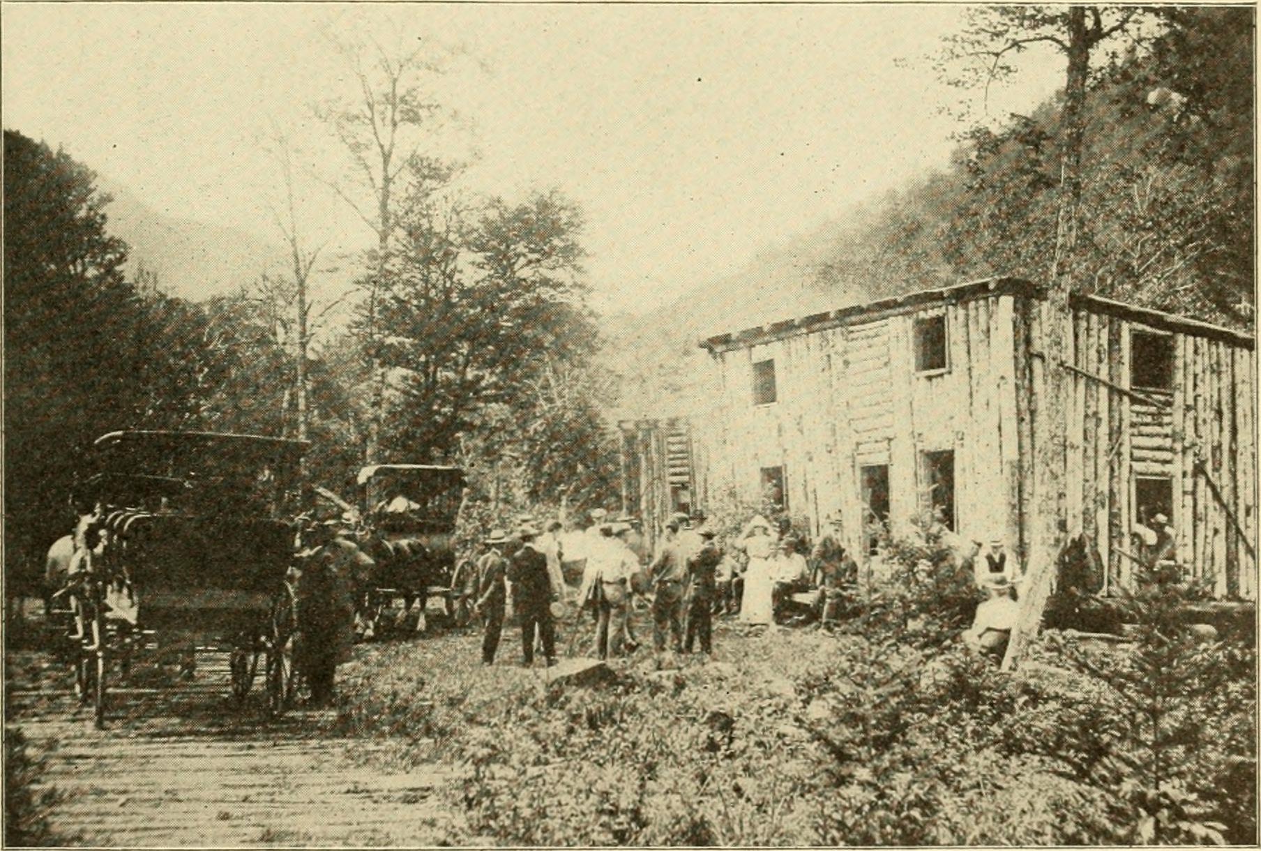 File:The Granite monthly, a New Hampshire magazine, devoted to literature, history, and state progress (1912) (14772736622).jpgInternet Archive Book Images · No restrictions · Wikimedia Commons
-
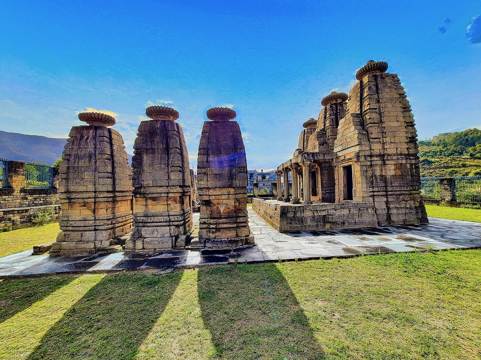 File:005252023 Ratan Deo group of temples, Dwarahat Uttarakhand 061.jpgMs Sarah Welch · CC0 · Wikimedia Commons
-
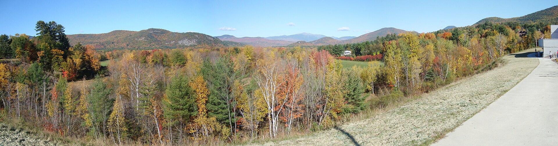 File:White Mountains 2008 - panoramio.jpgFredlyfish4 · CC BY-SA 4.0 · Wikimedia Commons
-
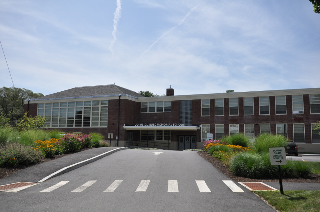 File:BathME HuseMemorialSchool.jpgMagicpiano · CC BY-SA 4.0 · Wikimedia Commons
-
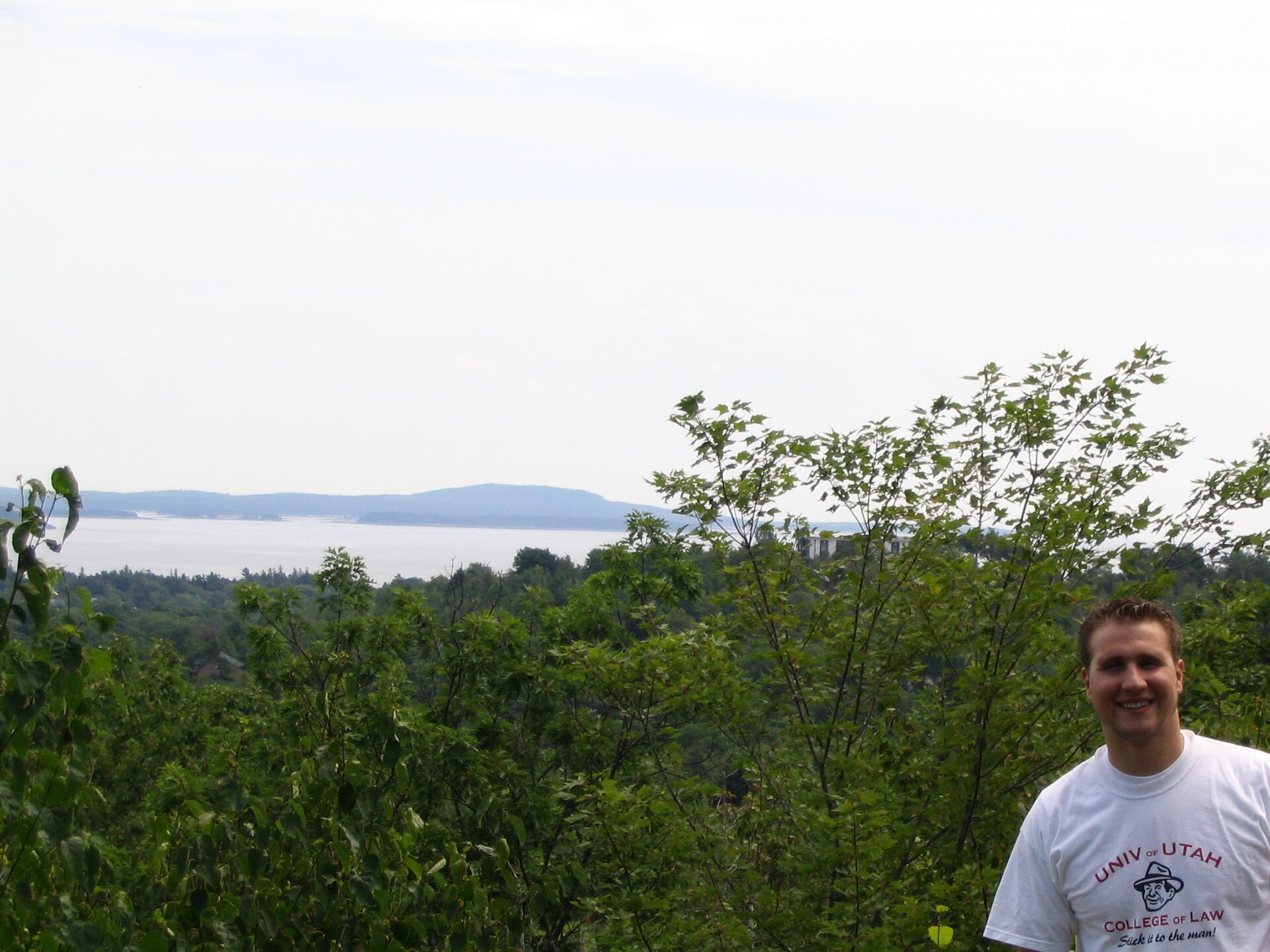 File:Ken, Frenchman Bay, Acadia National Park, Bar Harbor, Maine - 68549377.jpgKen Lund · CC BY-SA 2.0 · Wikimedia Commons
-
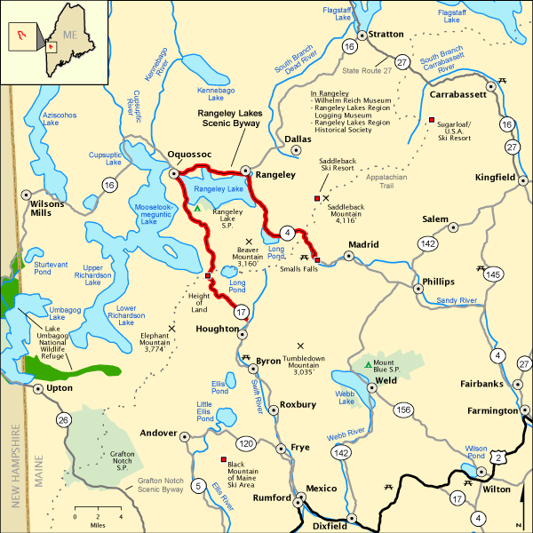 File:National Scenic Byway - Rangeley Lakes (Maine) - NARA - 68886396 (page 1).gifUnknown authorUnknown author or not provided · Public domain · Wikimedia Commons
-
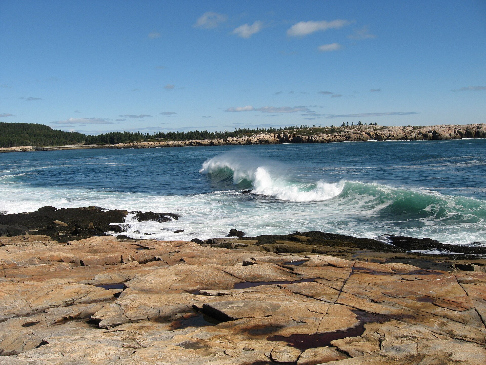 File:Arey Cove - panoramio.jpgFredlyfish4 · CC BY-SA 4.0 · Wikimedia Commons
-
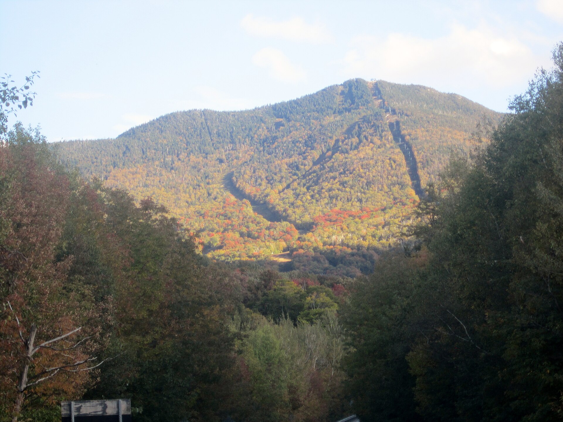 File:Smugglers Notch Vermont - panoramio (18).jpgMichelle Maria · CC BY 3.0 · Wikimedia Commons
-
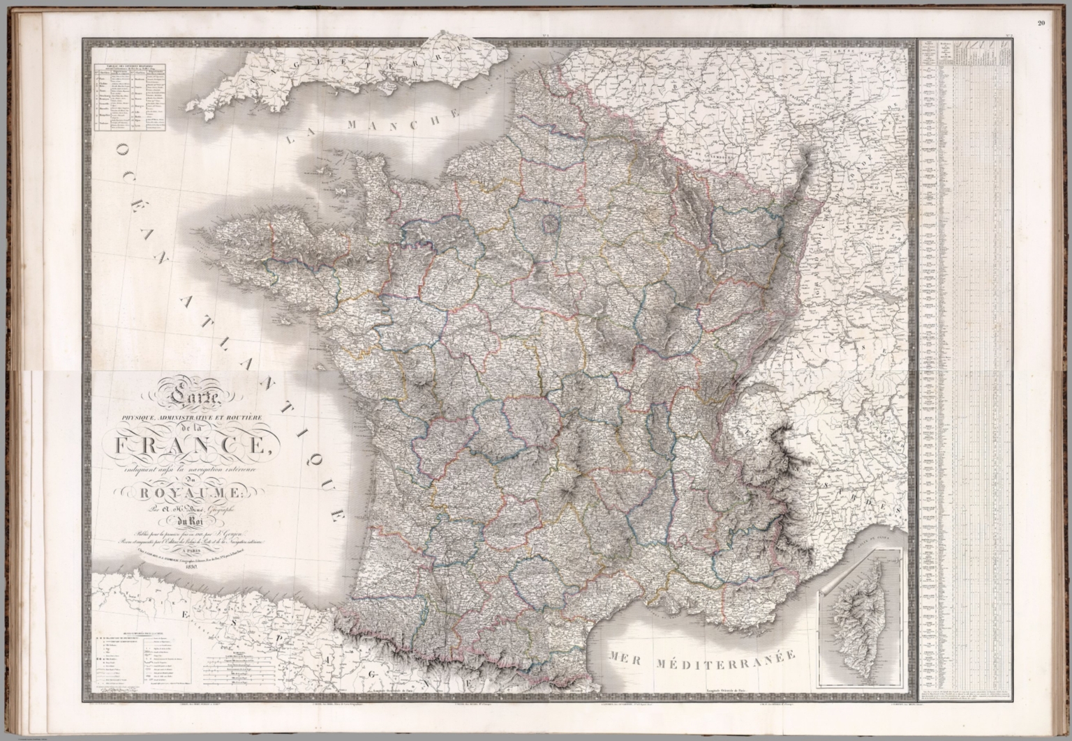 File:(Composite) Carte physique, administrative et routiere de la France, indiquant aussi la navigation inte??rieure du royaume (IA dr composite-carte-physique-administrative-et-routiere-de-la-france-indiqu-11124025).jpgAndriveau-Goujon, J. Brue, Adrien Hubert, 1786-1832 · Public domain · Wikimedia Commons
-
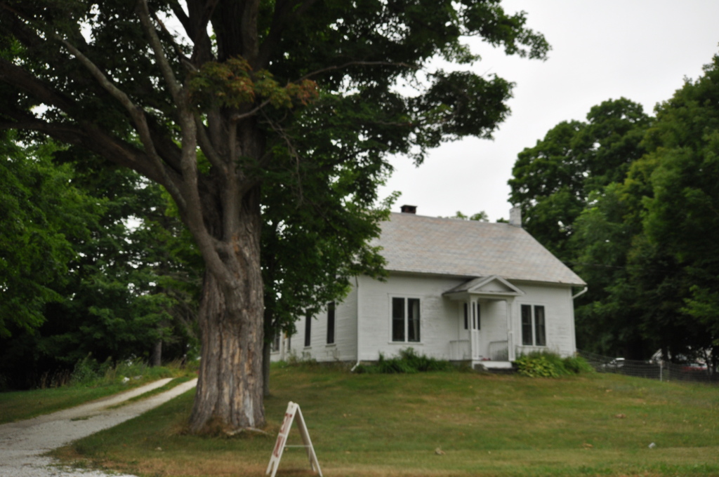 File:MiddleburyVT FennFarm.jpgMagicpiano · CC BY-SA 3.0 · Wikimedia Commons
-
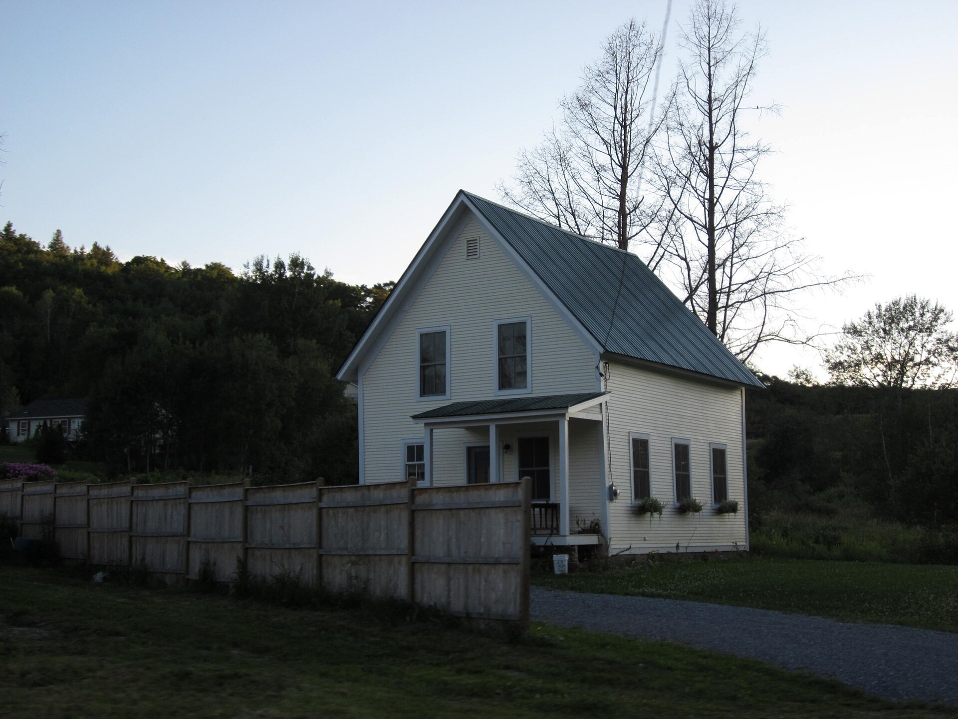 File:Lincoln, Vermont (6146328549).jpgDoug Kerr from Albany, NY, United States · CC BY-SA 2.0 · Wikimedia Commons
-
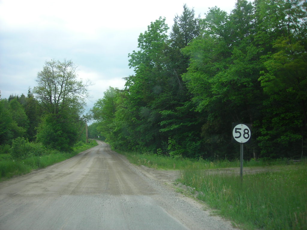 File:VT 58 at dirt in Hazens Notch.jpgDoug Kerr · CC BY-SA 2.0 · Wikimedia Commons
-
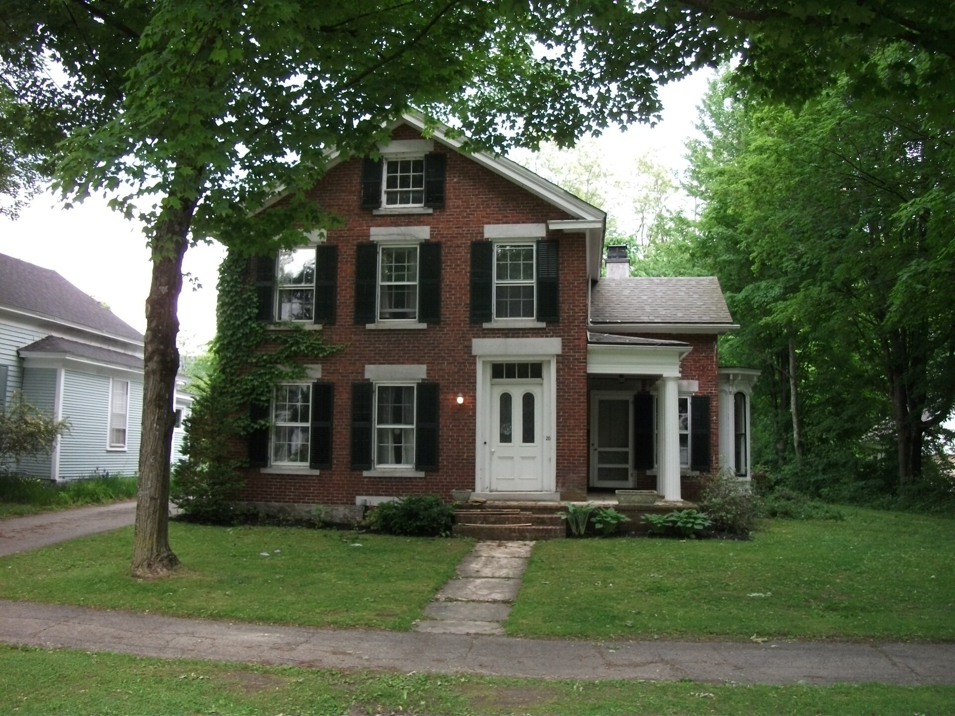 File:Brandon, Vermont (5814953384).jpgDoug Kerr from Albany, NY, United States · CC BY-SA 2.0 · Wikimedia Commons
-
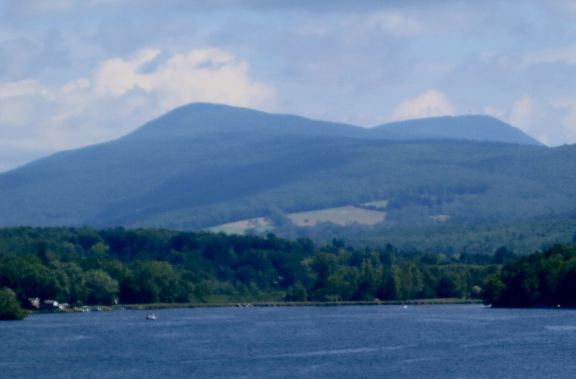 File:Saddle Ball Mountain from Pittsfield.JPGRoentgendoc · CC BY-SA 3.0 · Wikimedia Commons
-
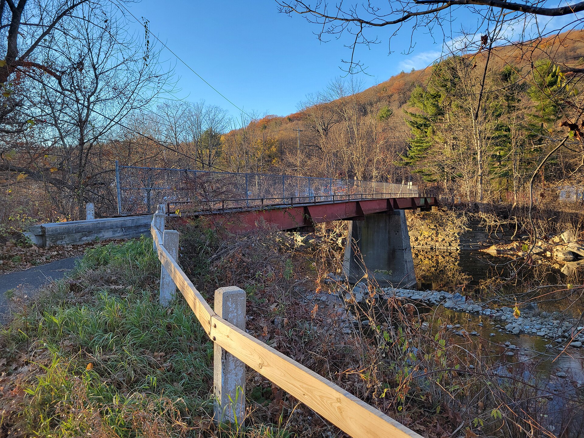 File:Side view of pedestrian bridge across the West Branch Westfield River, Huntington MA.jpgJohn Phelan · CC BY 4.0 · Wikimedia Commons
-
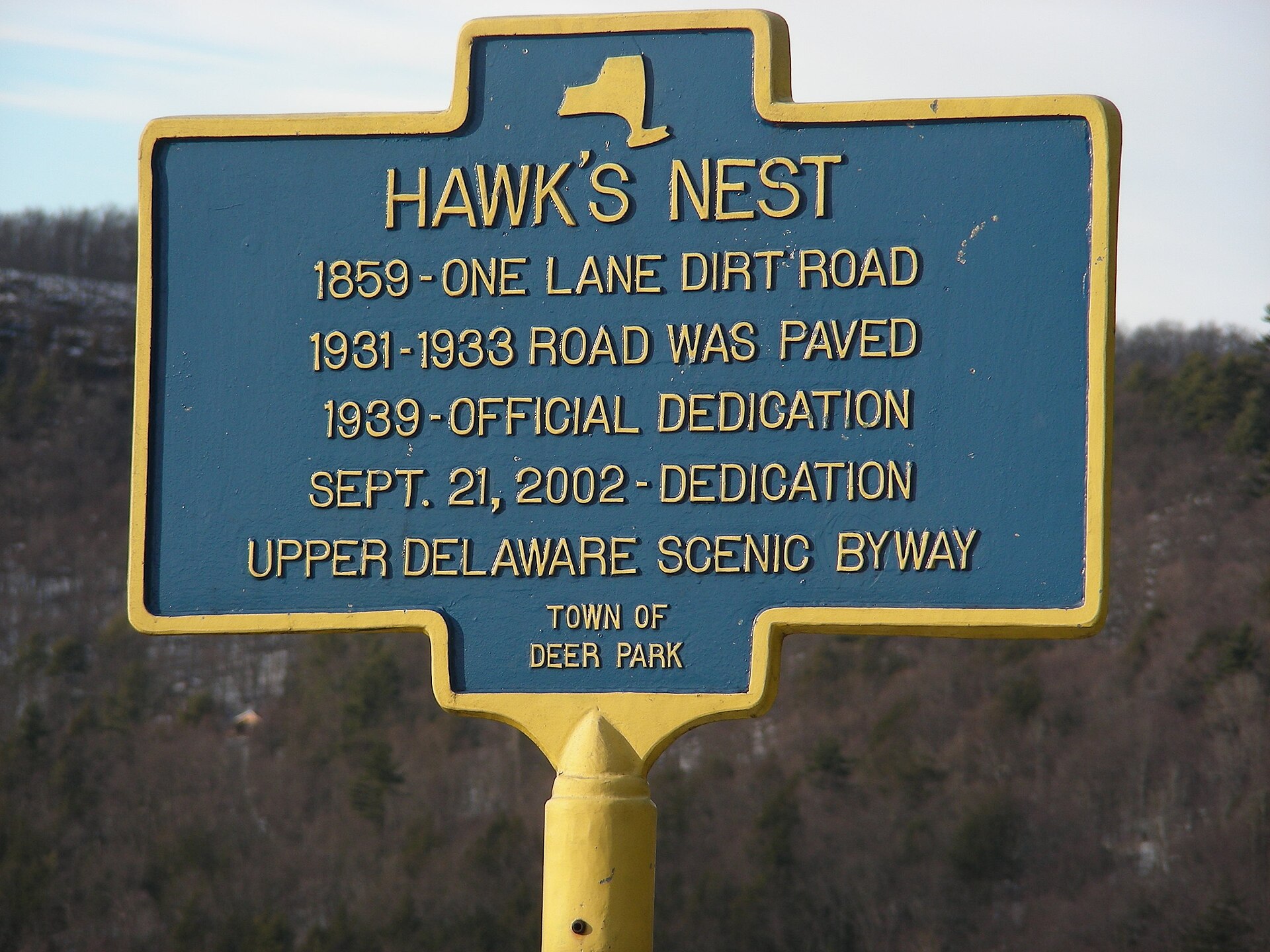 File:HawkNest3.jpgR khot at English Wikipedia · CC BY-SA 3.0 · Wikimedia Commons
-
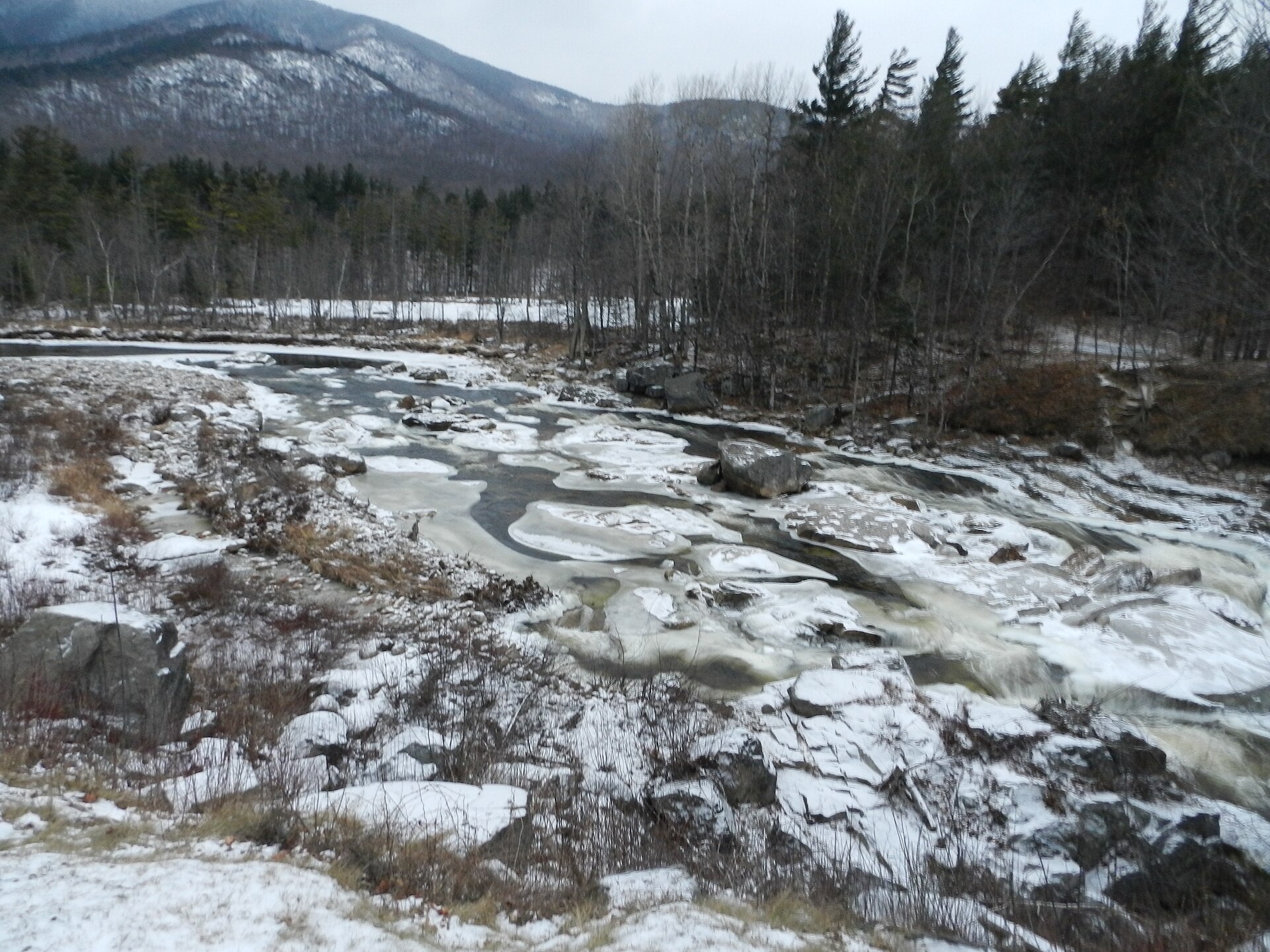 File:Whiteface mountain - panoramio.jpgAmeer Attia · CC BY 3.0 · Wikimedia Commons
-
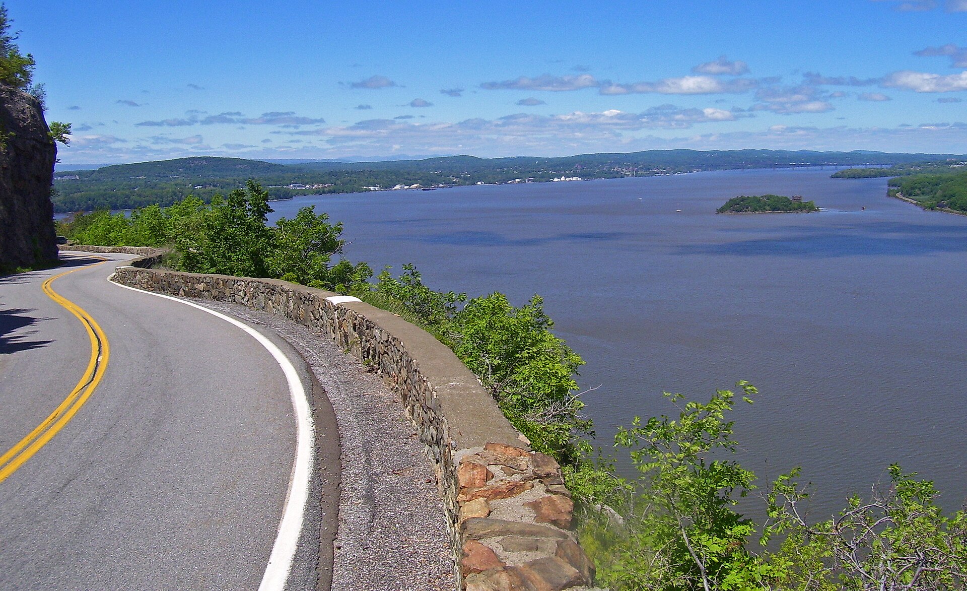 File:NY 218 on Storm King.jpgDaniel Case · CC BY-SA 3.0 · Wikimedia Commons
-
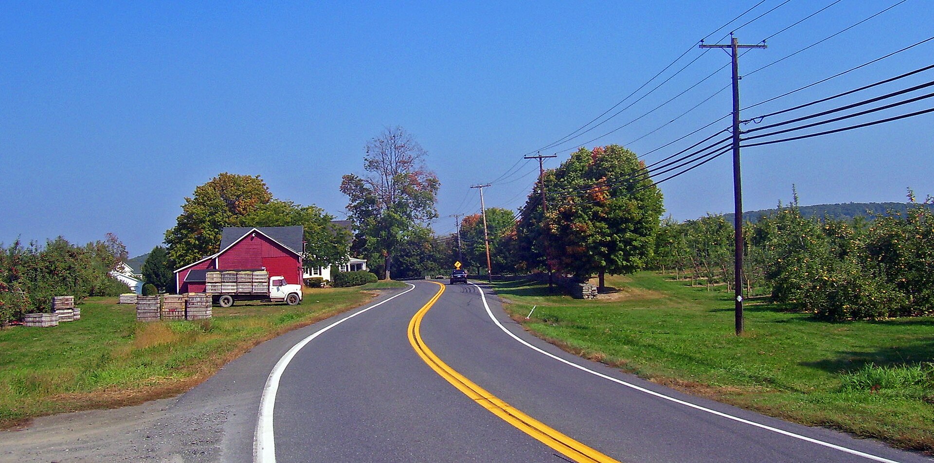 File:US 44-NY 55 in orchards.jpgDaniel Case · CC BY-SA 3.0 · Wikimedia Commons
-
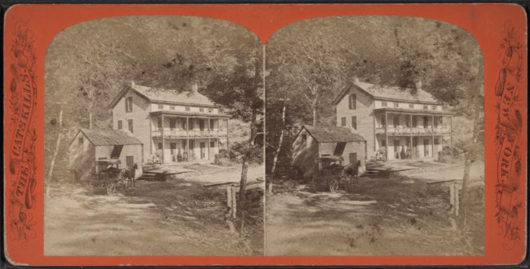 File:Rip Van Winkle House. (3990420701).jpgNew York Public Library · No restrictions · Wikimedia Commons
-
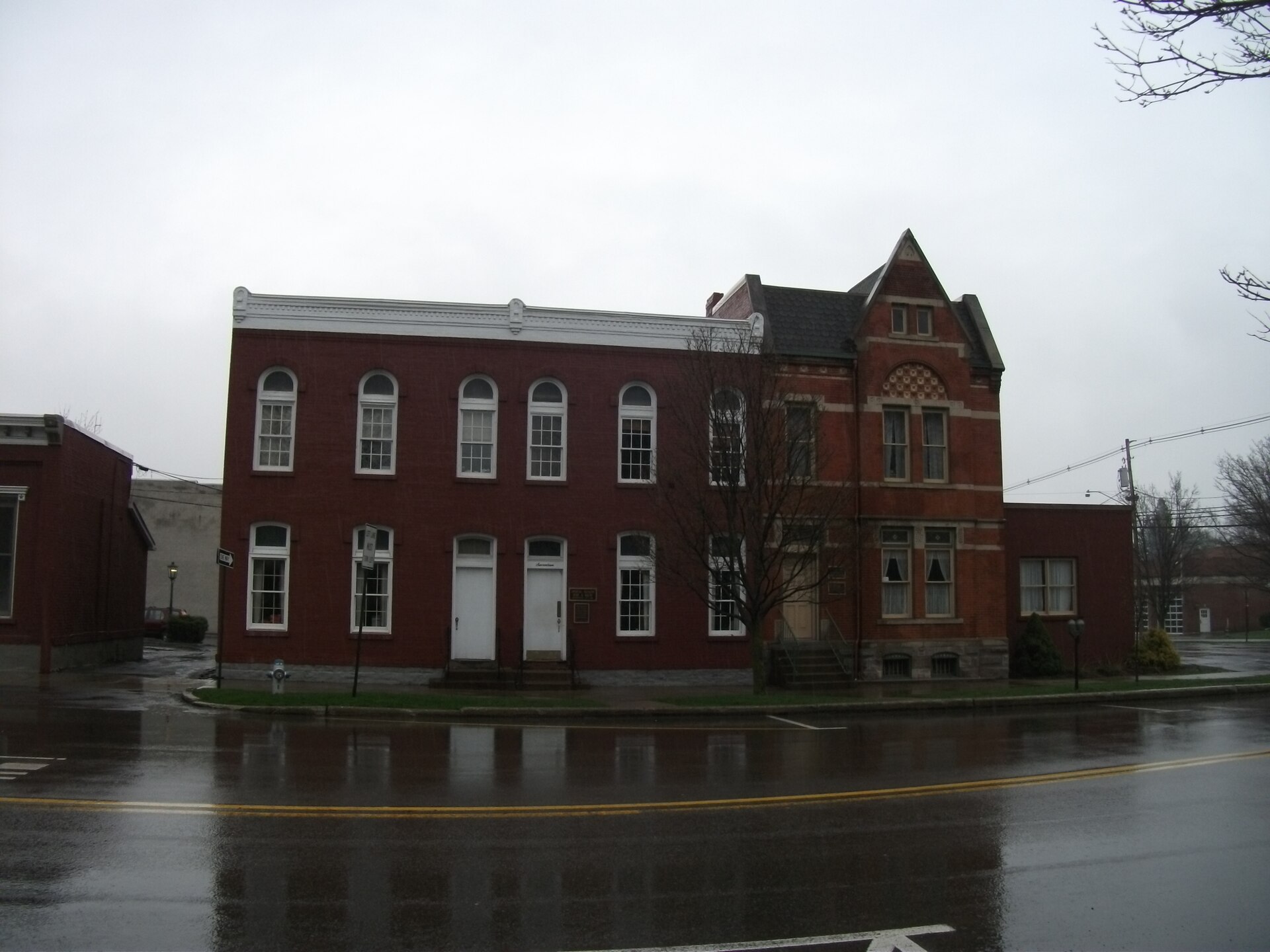 File:Wellsboro, Pennsylvania (5656930887).jpgDoug Kerr from Albany, NY, United States · CC BY-SA 2.0 · Wikimedia Commons
-
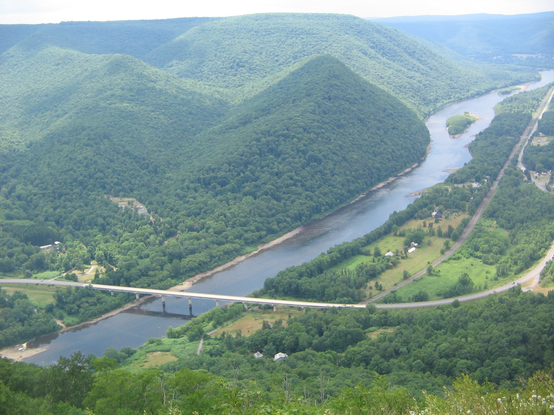 File:PA Route 120 Bridge from Hyner View.JPGRuhrfisch · CC BY-SA 3.0 · Wikimedia Commons
-
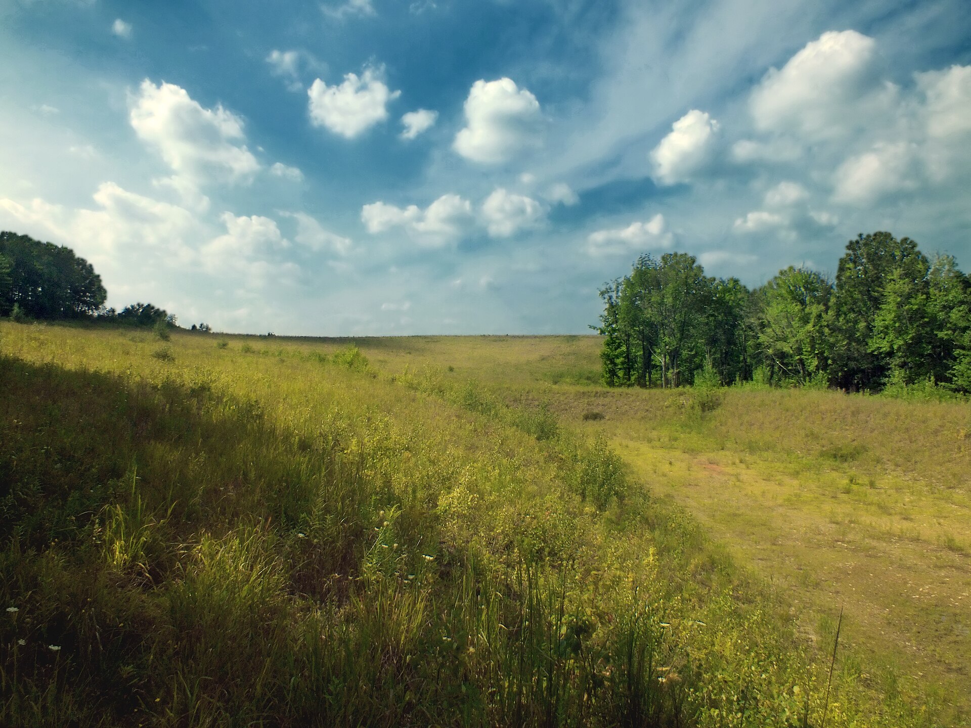 File:Flickr - Nicholas T - German Settlement Reclamation Project (Revisited) (1).jpgNicholas A. Tonelli from Pennsylvania, USA · CC BY 2.0 · Wikimedia Commons
-
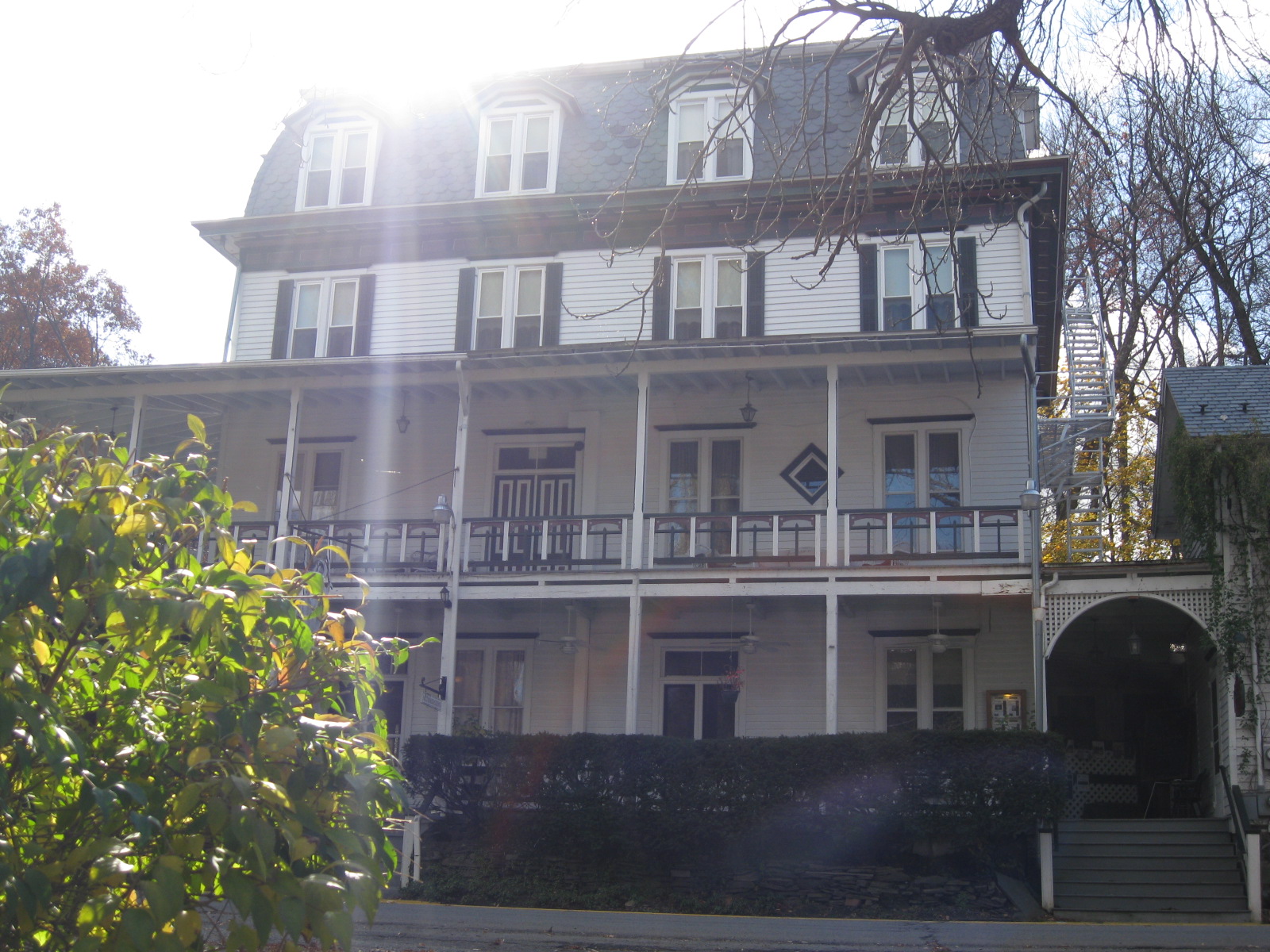 File:Delaware Water Gap, Pennsylvania (4094540157).jpgDoug Kerr from Albany, NY, United States · CC BY-SA 2.0 · Wikimedia Commons
-
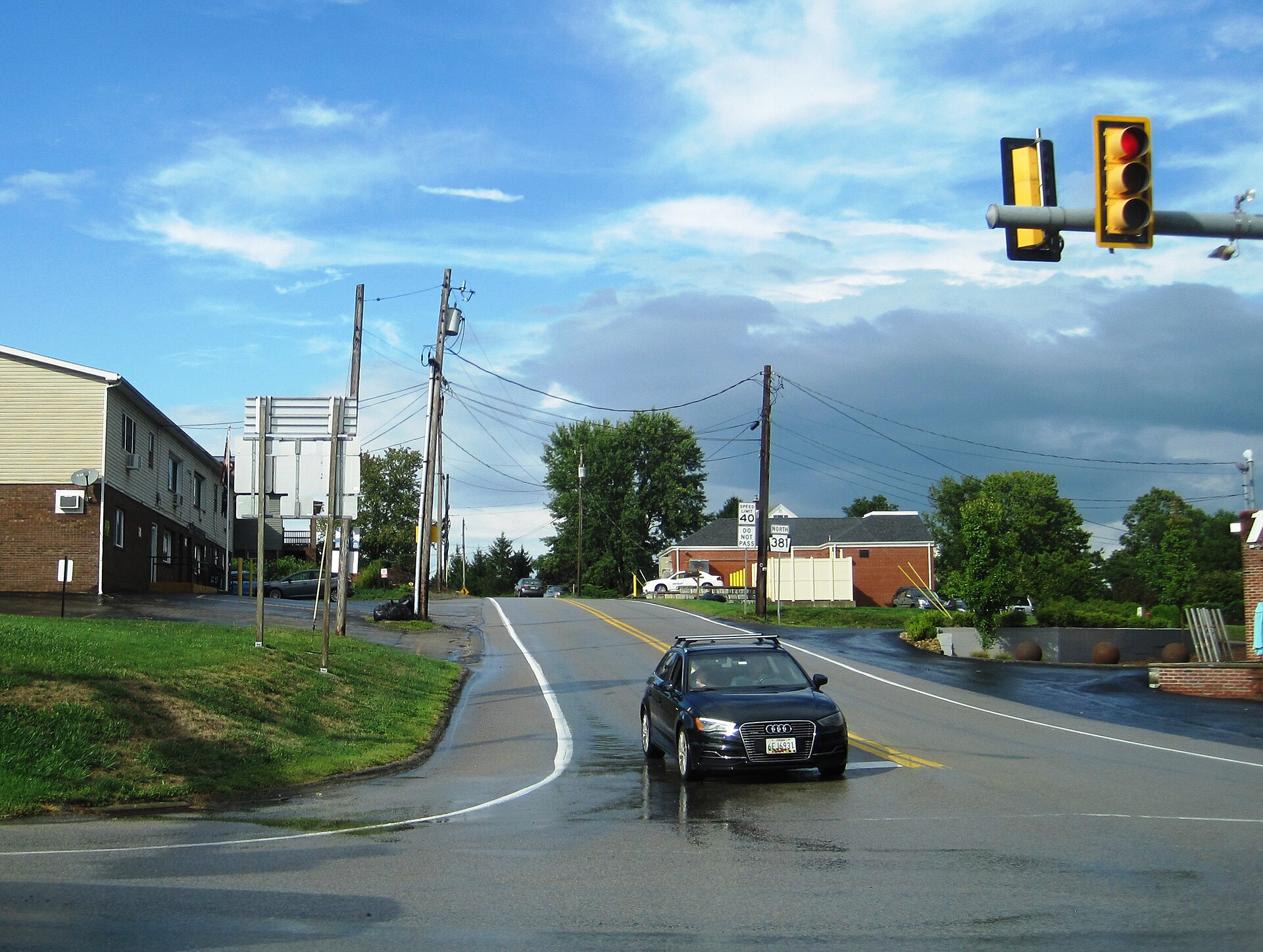 File:PA 381 nb at US 40, Aug. 2024.jpgMr. Matté (if there is an issue with this image, contact me using this image's Commons talk page, my Commons user talk page, or my English Wikipedia user talk page; I'll know about it a lot faster) · CC BY-SA 4.0 · Wikimedia Commons
-
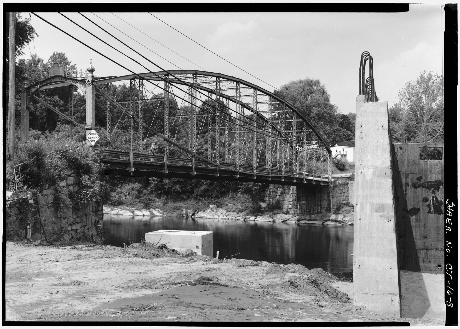 File:GENERAL 3-4 VIEW WITH NEW BRIDGE CONSTRUCTION IN RIGHT FOREGROUND - Boardman's Lenticular Bridge, Spanning Housatonic River on Boardman's Road, New Milford, Litchfield County, CT HAER CONN,3-NEMI,1-3.tifLowe, Jet Related names: Berlin Iron Bridge Company Jackson, Donald C, transmitter Yearby, Jean P, transmitter · Public domain · Wikimedia Commons
-
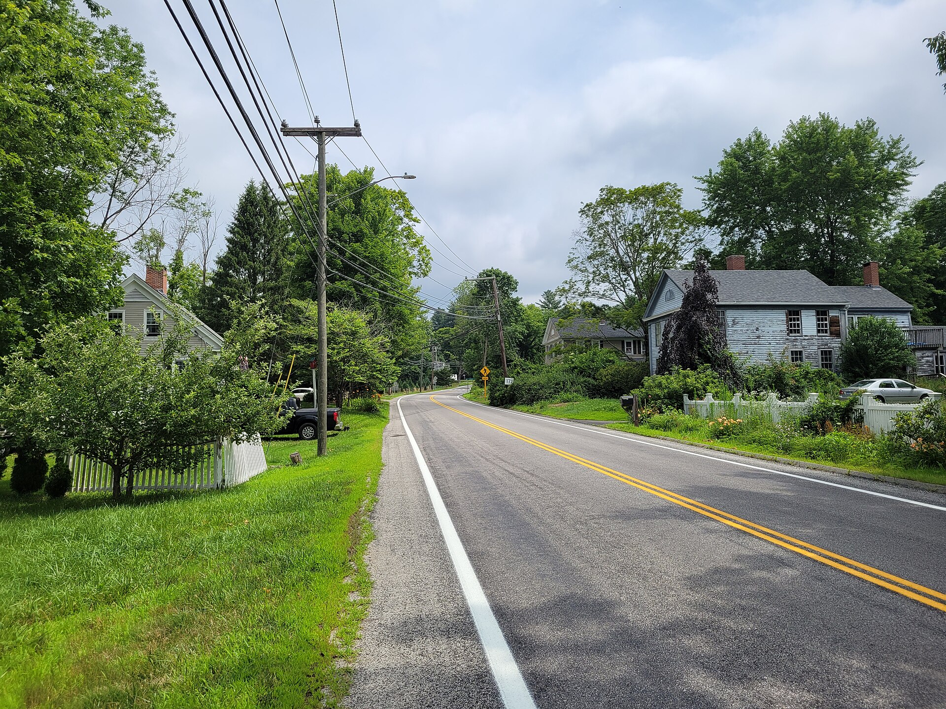 File:CT Route 171, Woodstock Valley CT.jpgJohn Phelan · CC BY 4.0 · Wikimedia Commons
-
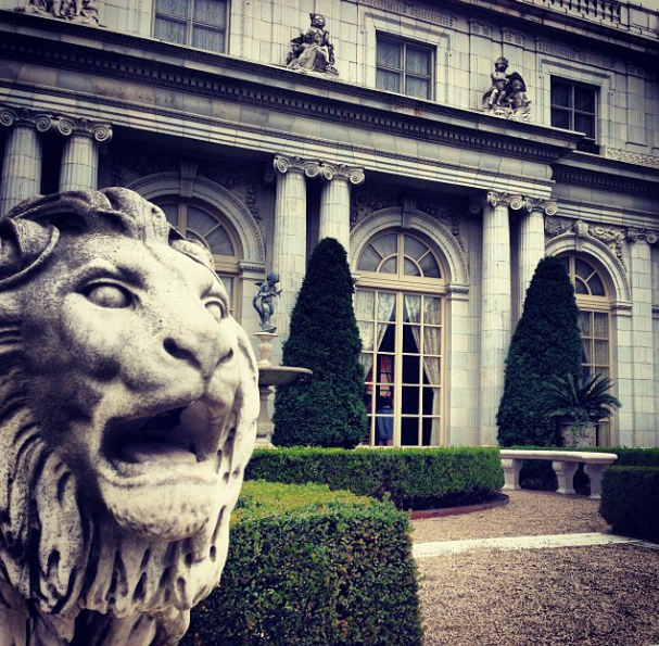 File:Lion of Rosecliff.pngEdmundmp · CC BY-SA 3.0 · Wikimedia Commons
-
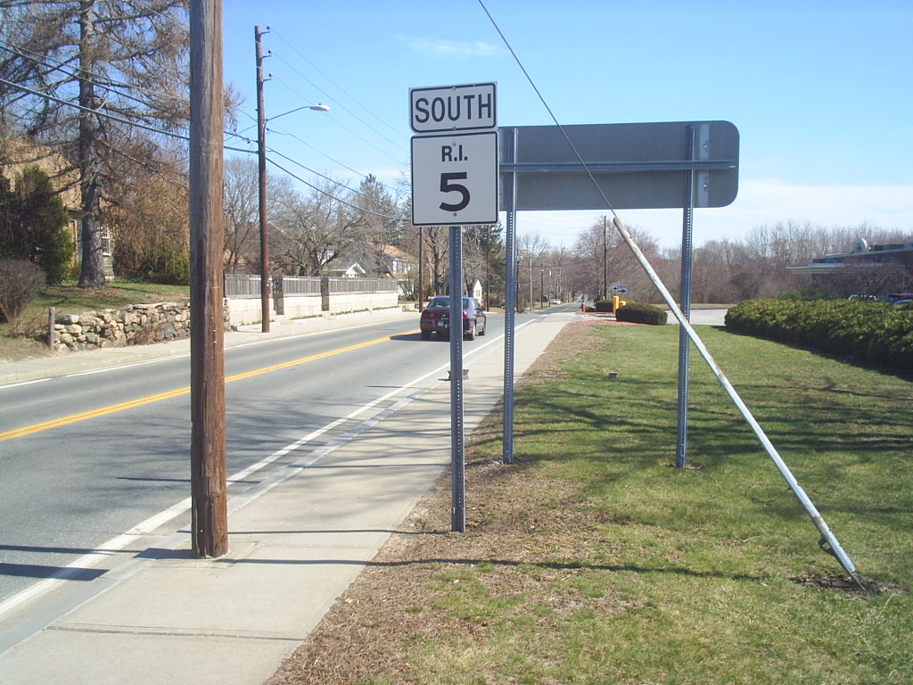 File:Southbound Route 5.jpgDoug Kerr from now in Binghamton, NY · CC BY-SA 2.0 · Wikimedia Commons
-
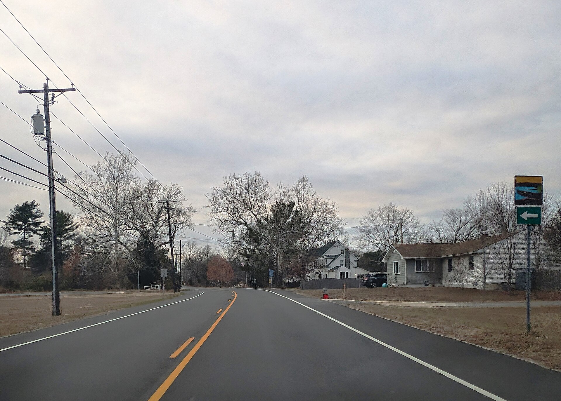 File:CR 542 wb in Nesco, NJ, Dec. 2024.jpgMr. Matté (if there is an issue with this image, contact me using this image's Commons talk page, my Commons user talk page, or my English Wikipedia user talk page; I'll know about it a lot faster) · CC BY-SA 4.0 · Wikimedia Commons
-
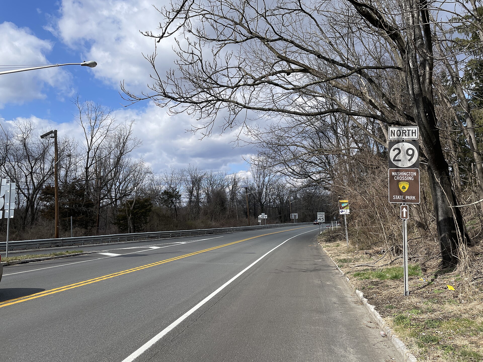 File:NJ 29 NB past NJ 175 northern terminus.jpegDough4872 · CC BY-SA 4.0 · Wikimedia Commons
-
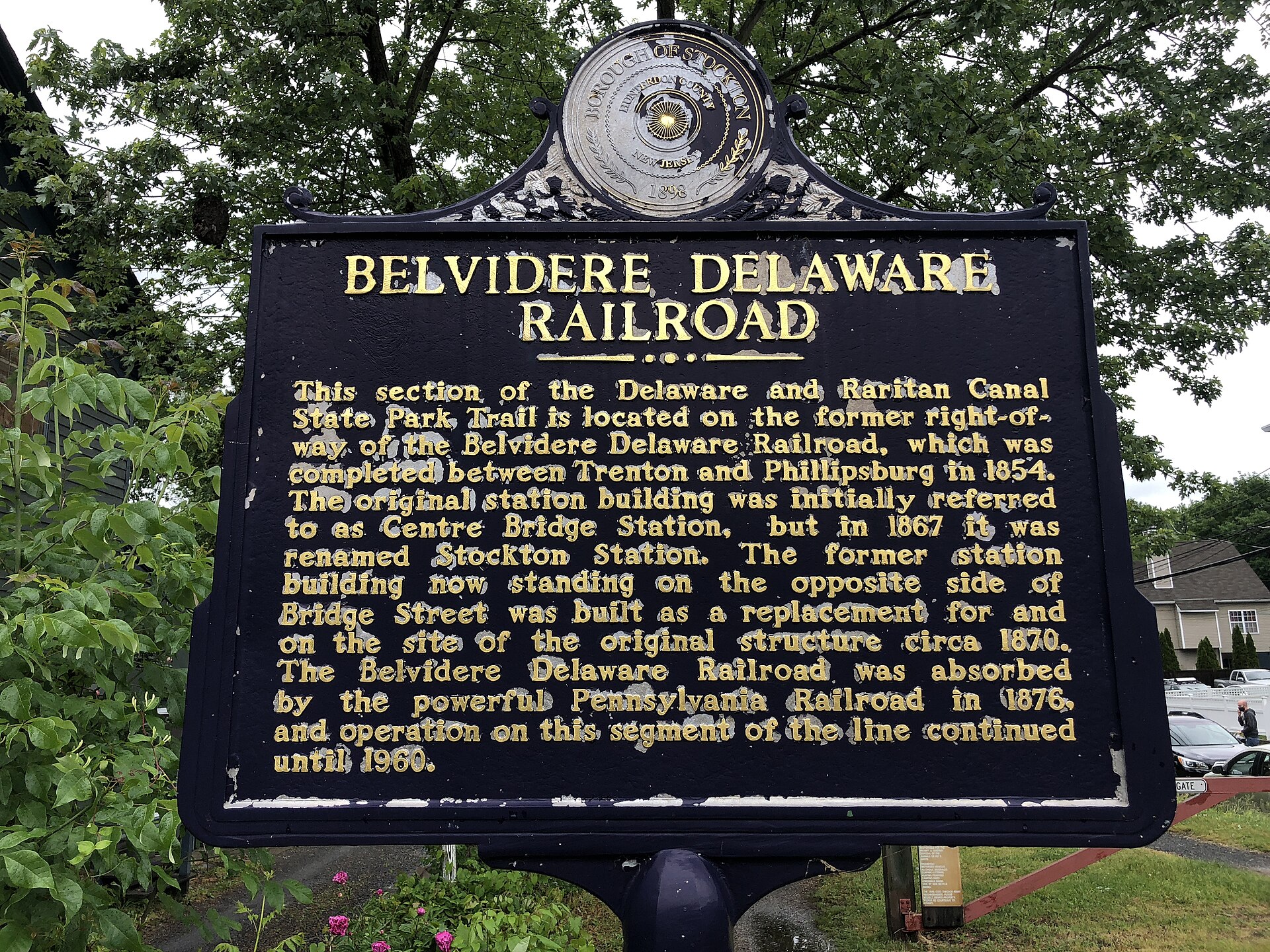 File:2021-05-29 14 00 20 "Belvidere Delaware Railroad" historical marker along Bridge Street in Stockton, Hunterdon County, New Jersey.jpgFamartin · CC BY-SA 4.0 · Wikimedia Commons
-
 File:Journey Through Hallowed Ground Byway - Outdoor Exploration Along Catoctin Mountain Scenic Byway - NARA - 7719744.jpgUnknown authorUnknown author or not provided · Public domain · Wikimedia Commons
-
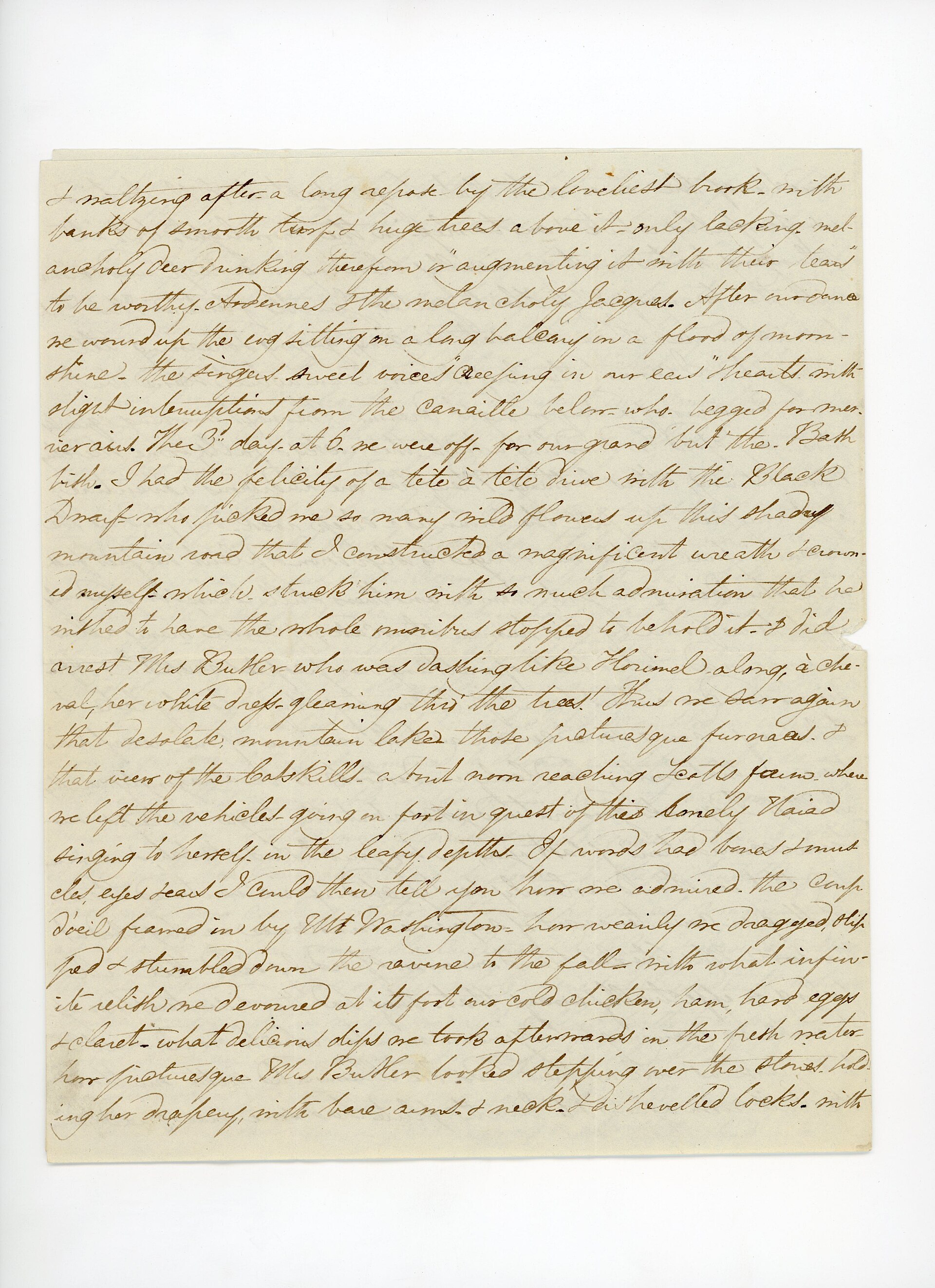 File:Frances (Appleton) Longfellow to Emmeline (Austin) Wadsworth, August 1839 (6081d495-9fff-4f8d-81f6-edad3d51306f).jpgFanny (Appleton) Longfellow (1817-1861) · Public domain · Wikimedia Commons
-
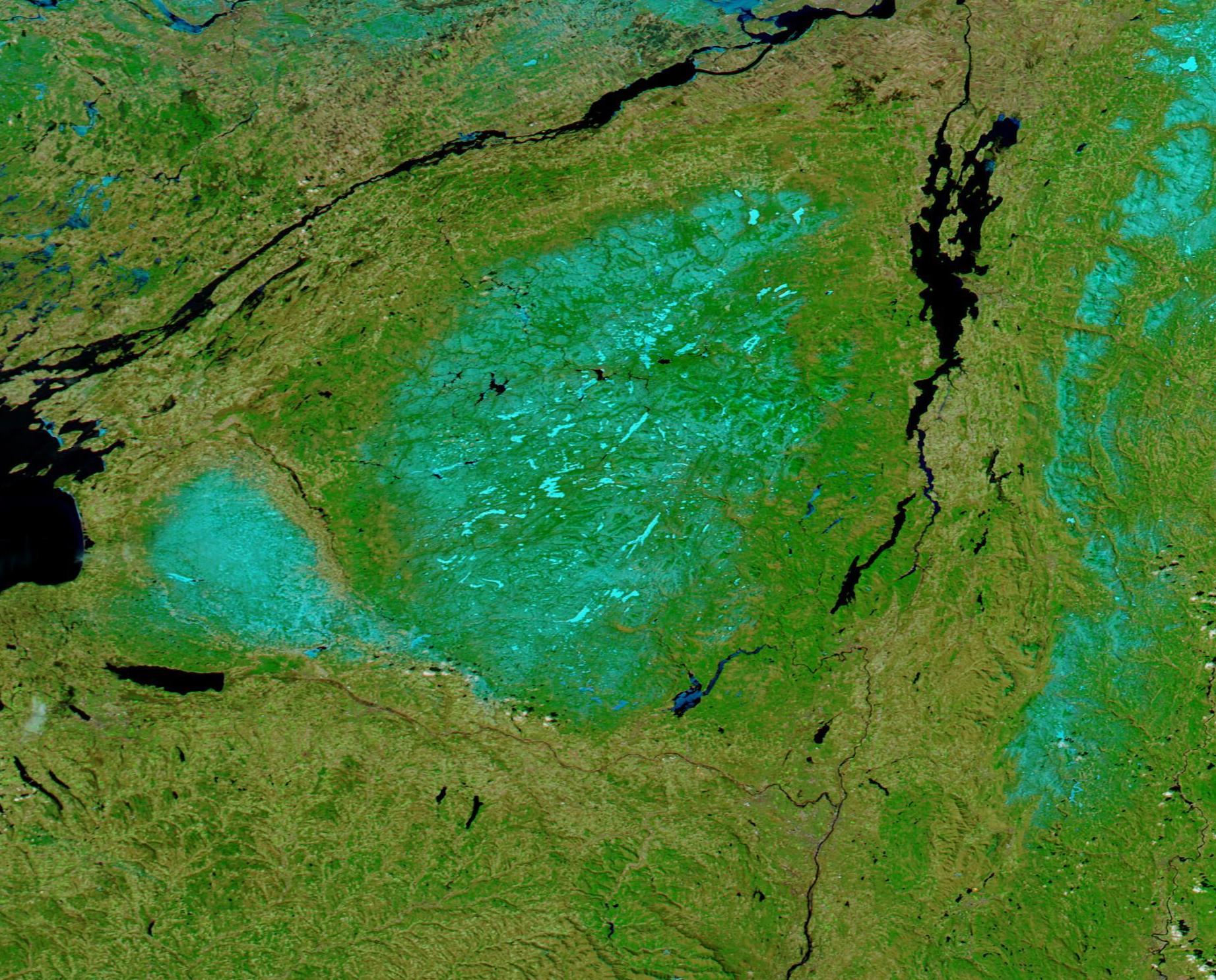 File:Spring Snow in Adirondack Park, New York (MODIS 2025-03-30).jpgMODIS Land Rapid Response Team, NASA GSFC · Public domain · Wikimedia Commons
-
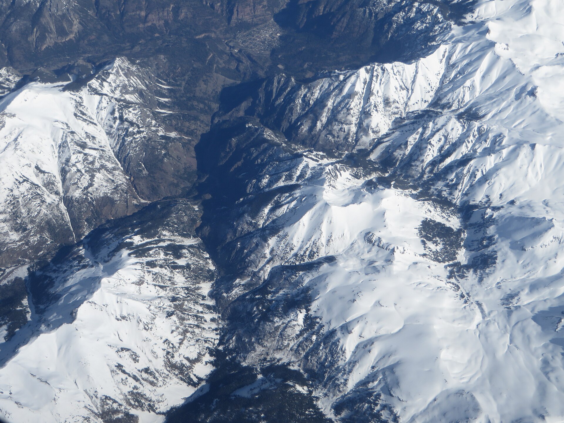 File:Uncompahgre Gorge, San Juan Skyway, U.S. 550 Between Ouray and Silverton, Colorado (14201243872).jpgKen Lund from Reno, Nevada, USA · CC BY-SA 2.0 · Wikimedia Commons
-
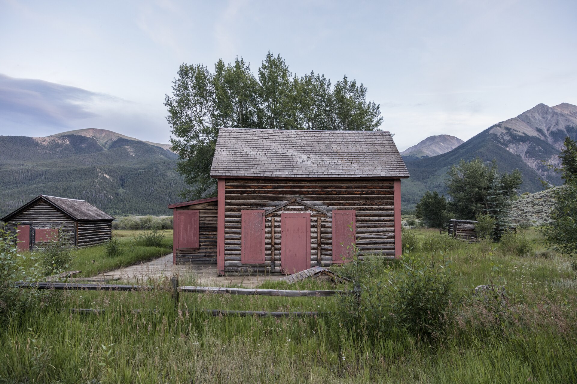 File:Log cabins near Twin Lakes, at the base of Mount Elbert in Lake County, Colorado. The little settlement effectively forms the eastern end of the winding "Top of the Rockies" route through Independence LCCN2015633632.tifCarol M. Highsmith · Public domain · Wikimedia Commons
-
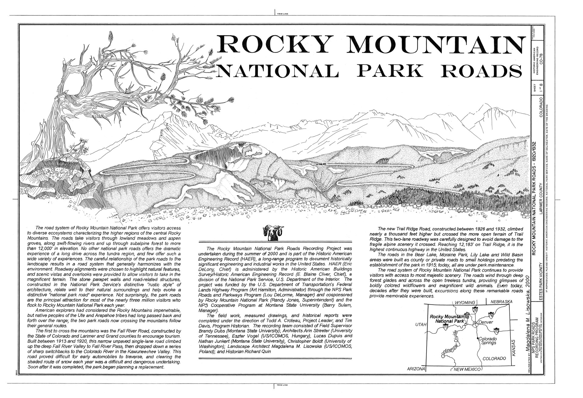 File:Rocky Mountain National Park Roads and Bridges, Estes Park, Larimer County, CO HAER COLO,35-ESPK.V,6- (sheet 1 of 8).tifRelated names: Roosevelt, Theodore; Mills, Enos Abijah; Wheeler, H N; Stanley, F O; Estes Park Protective and Improvement Association; Trowbridge, C R; Way, L C; Hokasana Construction Company; Jacobson, N I; McQueary, Richard W; Rocky Mountain Parks Transportation Company; Toll, Roger W; Mather, Stephen T; Gregory, George A; Lafferty, W L; Shields and Flatt; W A Colt and Son; New Mexico Construction Company; Wallace, Steven A; Rogers, Edmund; L T Lawler Construction Company; Collier and Latimer, Incorporated; Selander, Edward; Everly and Allison; Hallenback, C V; Knutson, Gerard; Larson Construction Company; Northwestern Engineering Company; Civilian Conservation Corps; Emergency Conservation Works; Allen, Thomas J; Wirth, Conrad L; Hill, Carl V; Siegrist Construction Company; Taliesin Associated Architects; Kunz Construction Company; Hamilton, Art, sponsor; DeLorme, Lou, sponsor; Jones, Randy, sponsor; Sulam, Barry, sponsor; Croteau, Todd, project manager; Davis, Tim, project manager; Dubs, Brandy, field team project manager; Quin, Richard H, historian; Streeter, Arin, delineator; Vogel, Eszter, delineator; Dupuis, Lucas, delineator; Junkert, Nathan, delineator; Boldt, Christopher, delineator; Lisowska, Magdalena, delineator · Public domain · Wikimedia Commons
-
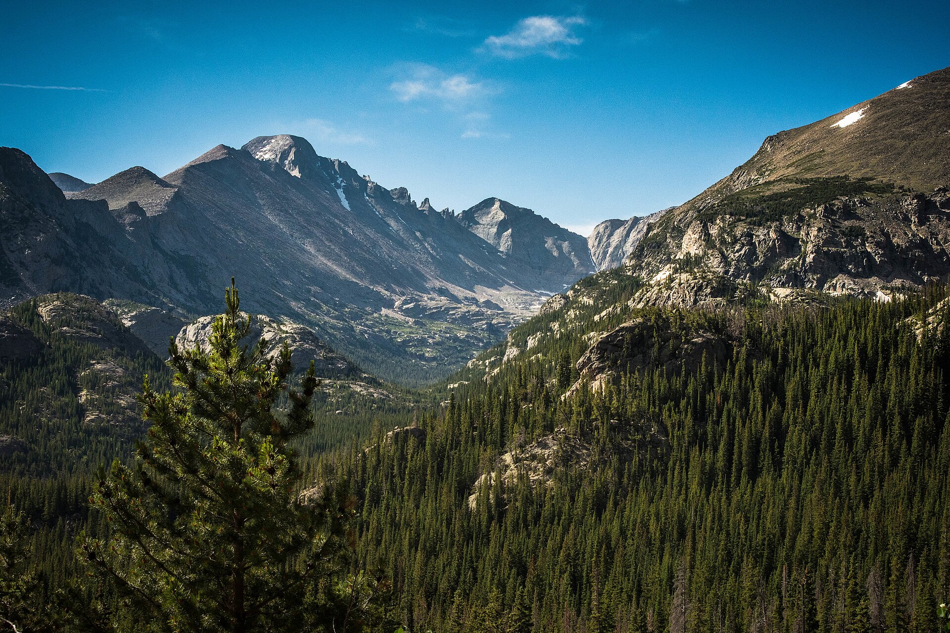 File:Rocky mountain valley (Unsplash).jpgPeter Pryharski epicpeter · CC0 · Wikimedia Commons
-
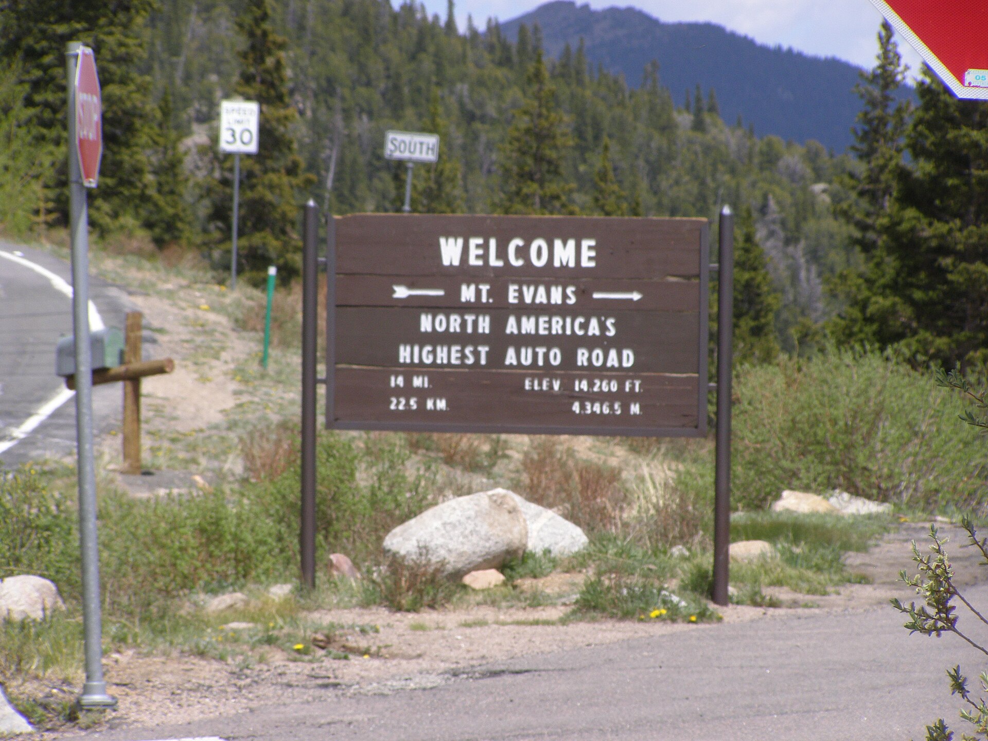 File:Mt Evans Road P6040302.jpgChris Light · CC BY-SA 4.0 · Wikimedia Commons
-
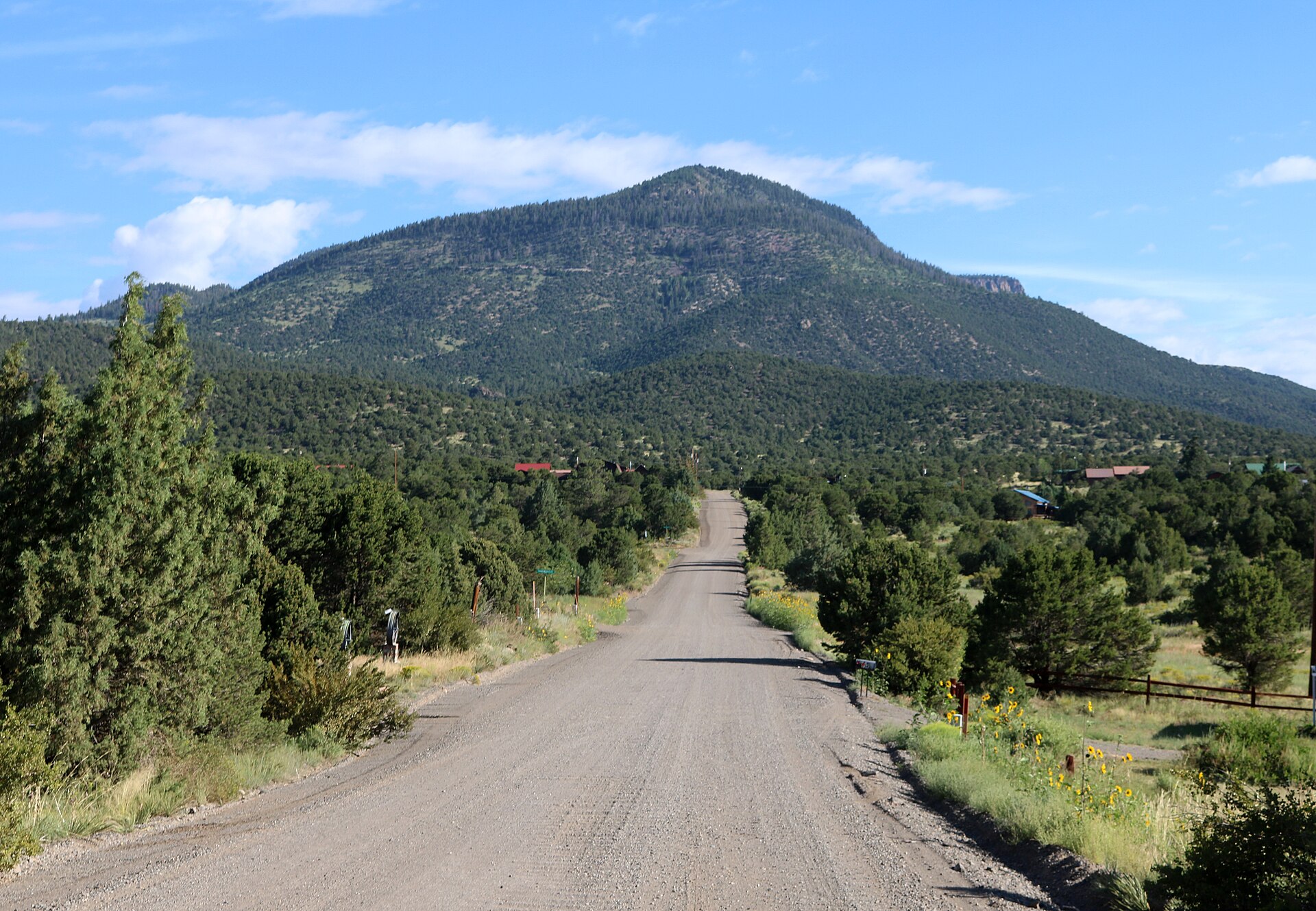 File:Alpine, Colorado.JPGJeffrey Beall · CC BY 4.0 · Wikimedia Commons
-
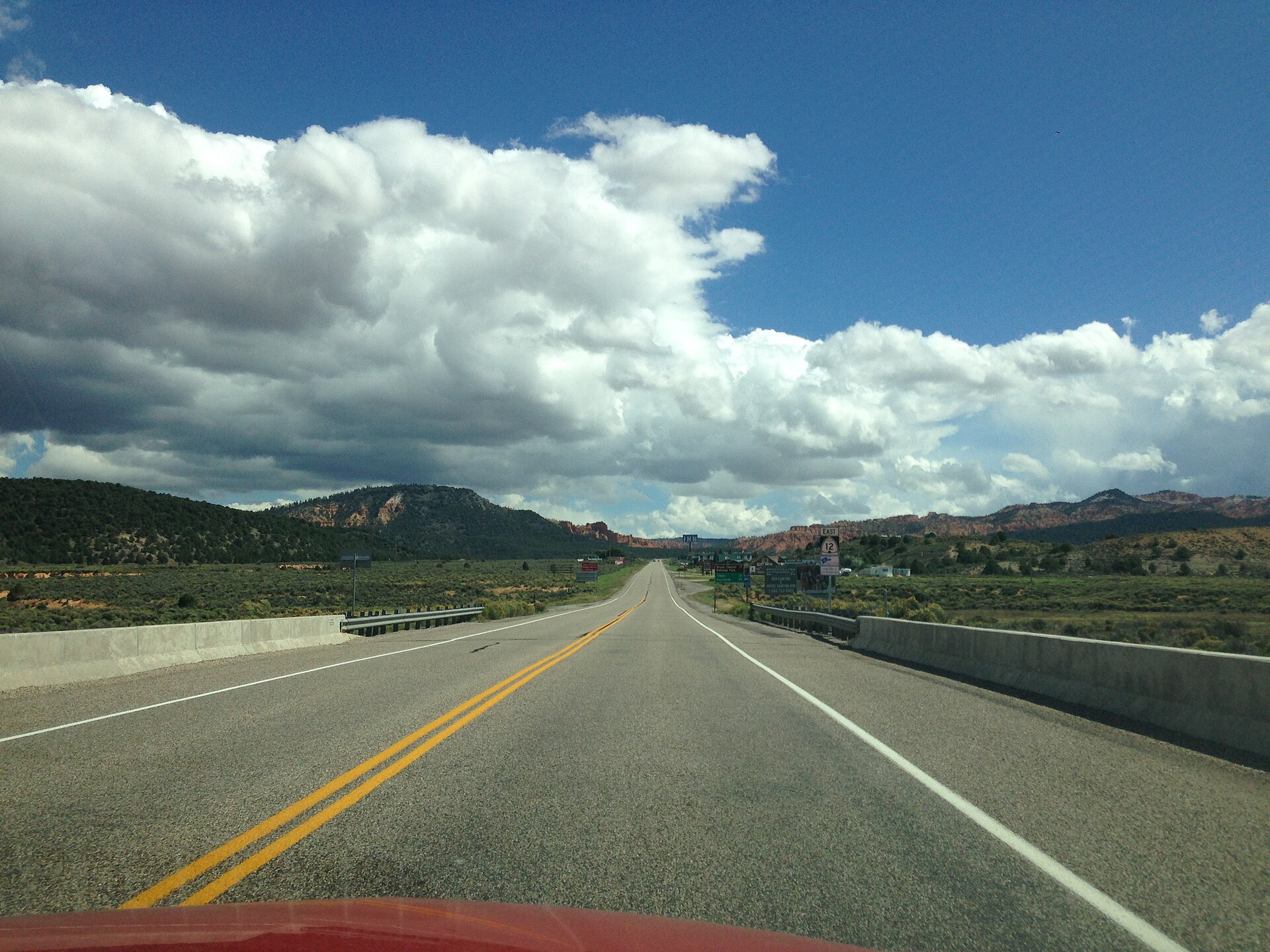 File:2013-09-21 13 10 49 View east along Utah State Route 12 near milepost 0.1.JPGFamartin · CC BY-SA 3.0 · Wikimedia Commons
-
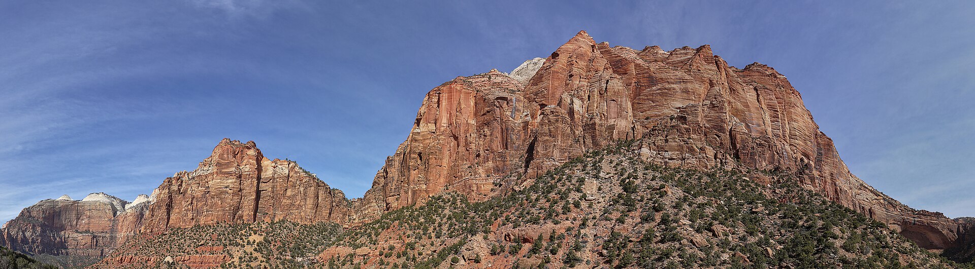 File:Mount Spry and the East Temple.jpgThe Cosmonaut · CC BY-SA 2.5 ca · Wikimedia Commons
-
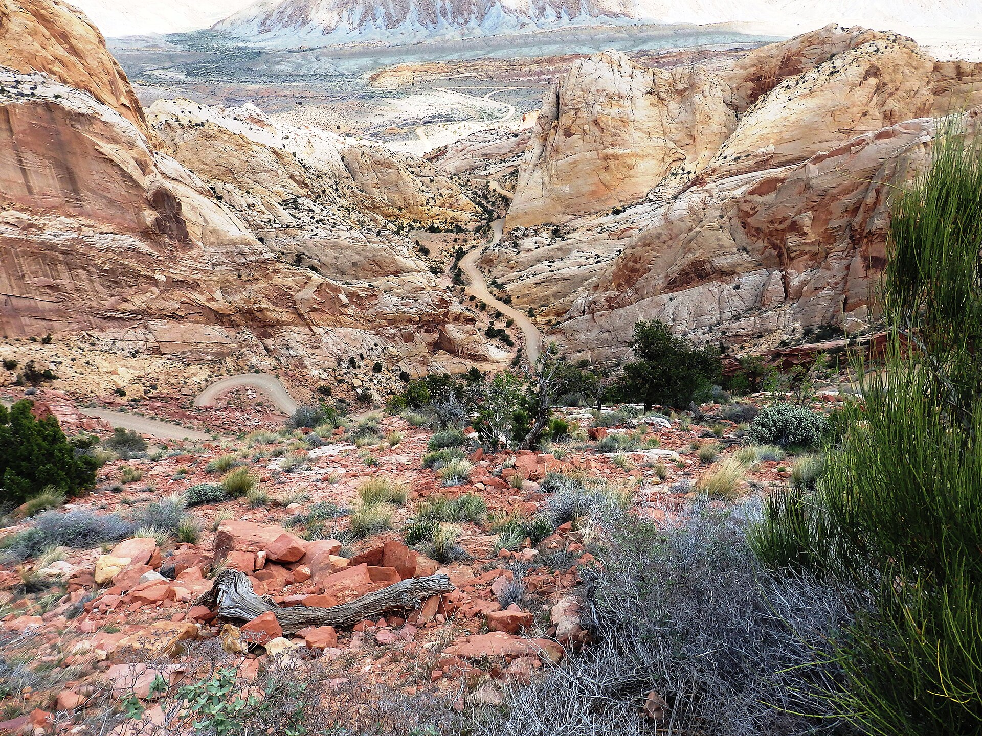 File:BURR TRAIL SCENIC BACKWAY, UTAH AT WATERPOCKET FOLD.jpgCROCKERBD · CC BY-SA 4.0 · Wikimedia Commons
-
 File:Moab, Utah at Night from Flight from Chicago to Las Vegas, Nevada (7993009623).jpgKen Lund from Reno, Nevada, USA · CC BY-SA 2.0 · Wikimedia Commons
-
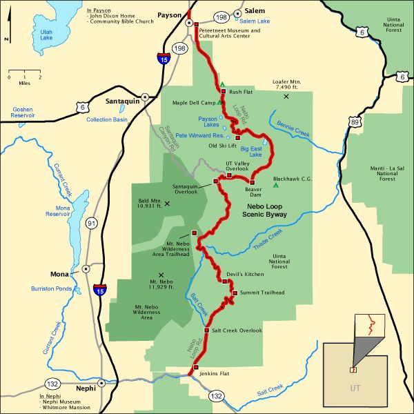 File:National Scenic Byway - Nebo Loop (Utah) - NARA - 68886696.jpgUnknown authorUnknown author or not provided · Public domain · Wikimedia Commons
-
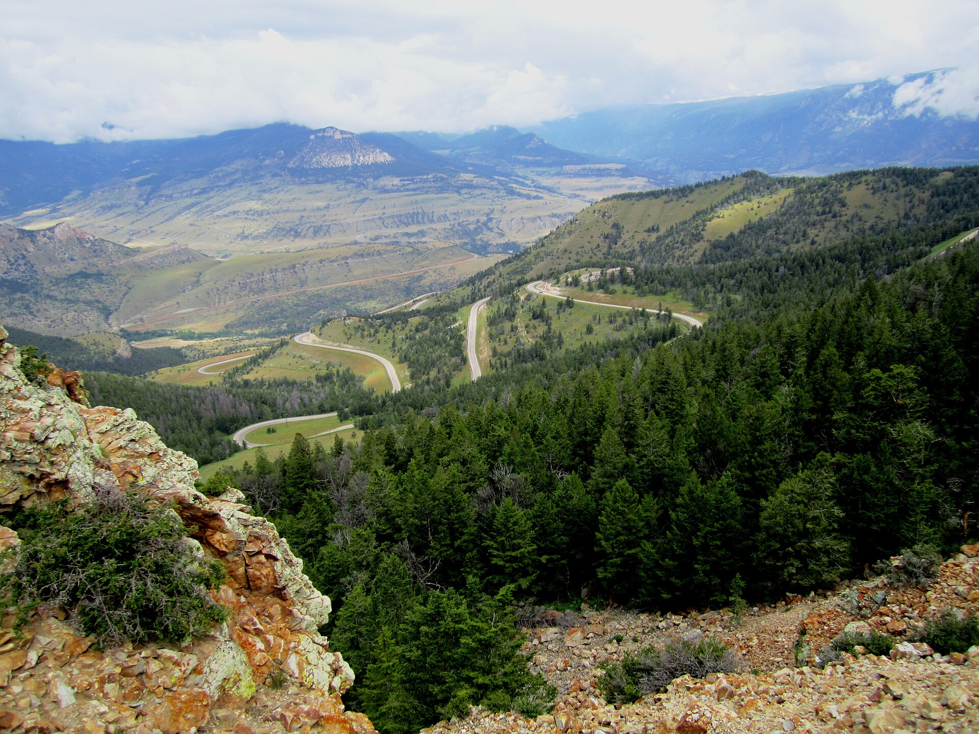 File:Dead Indian Pass.jpgSmallchief · CC BY-SA 4.0 · Wikimedia Commons
-
 File:Public Lands Institute - Bighorn National Forest - 001.tifPublic Lands Institute · CC0 · Wikimedia Commons
-
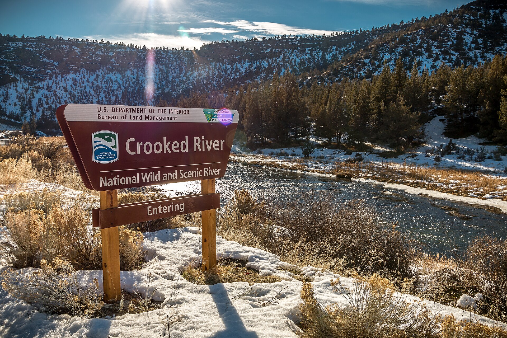 File:Crooked Wild and Scenic River (32488892762).jpgBureau of Land Management Oregon and Washington from Portland, America · Public domain · Wikimedia Commons
-
 File:Pinyon Jay, Lolo, MT, October 31, 2000 (6479286507).jpgCaleb Putnam · CC BY 2.0 · Wikimedia Commons
-
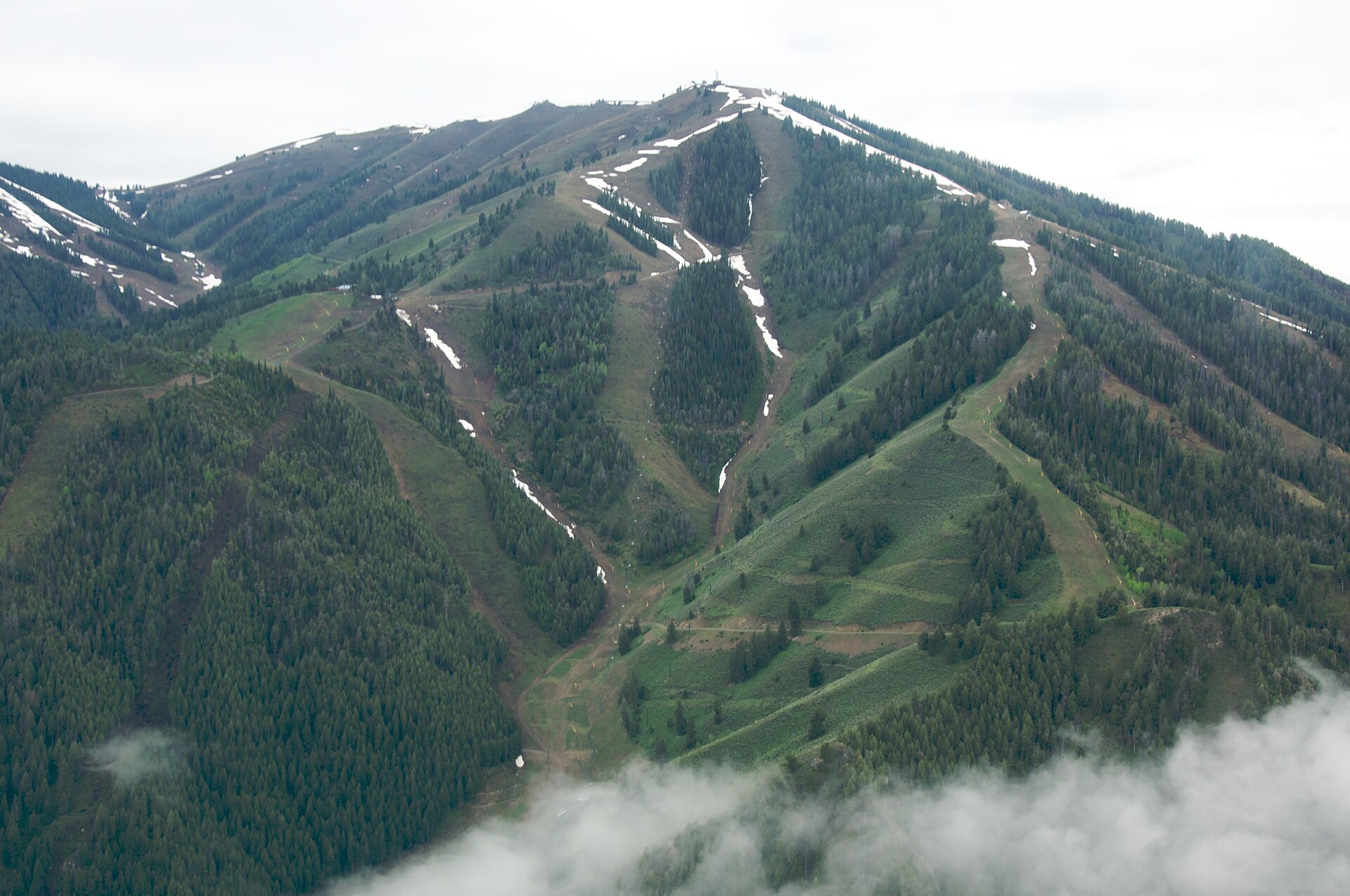 File:Bald Mountain, Idaho.jpgSam Beebe · CC BY-SA 2.0 · Wikimedia Commons
-
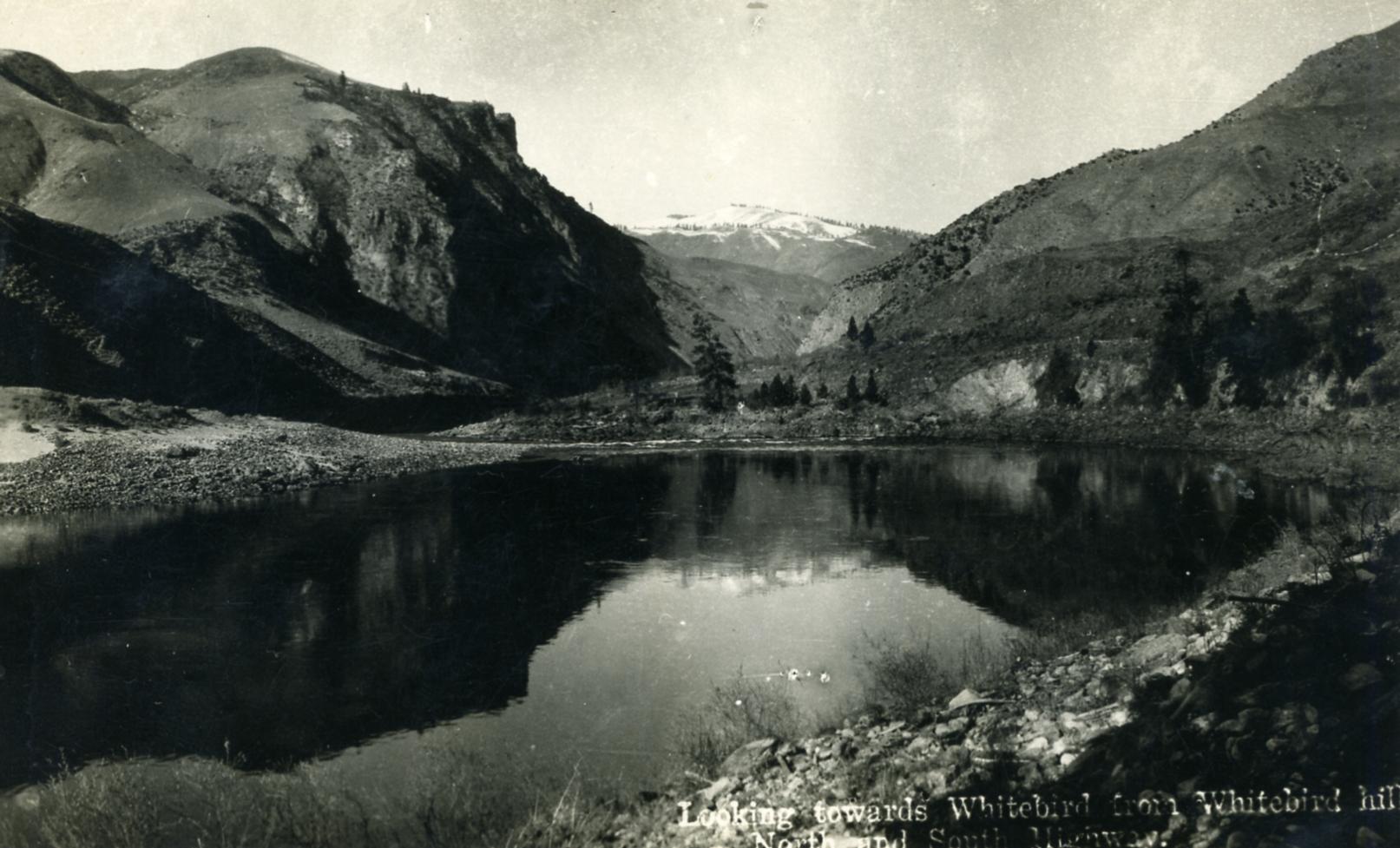 File:IDAHO-B-0075 Salmon River - White Bird.jpgWaterArchives.org from Sacramento, California, USA · CC BY-SA 2.0 · Wikimedia Commons
-
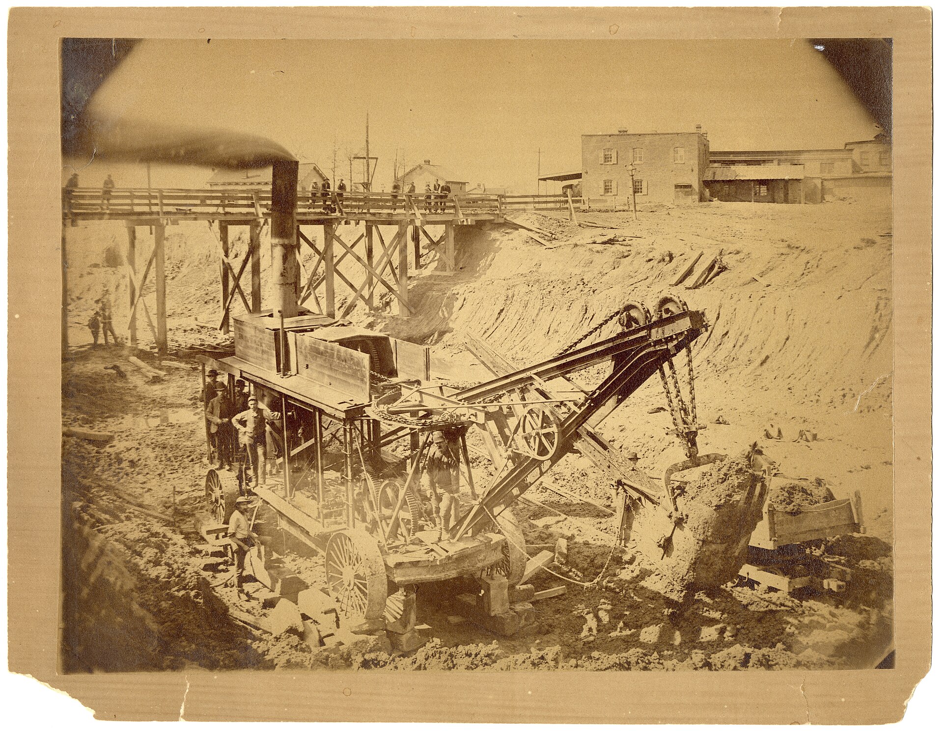 File:Digging for Iron Mountain RR right of way at Morganford Road and Parker Road - DPLA - 35c2cee30a9f73b51a6360edccaac7b5.jpgUnknown · Public domain · Wikimedia Commons
-
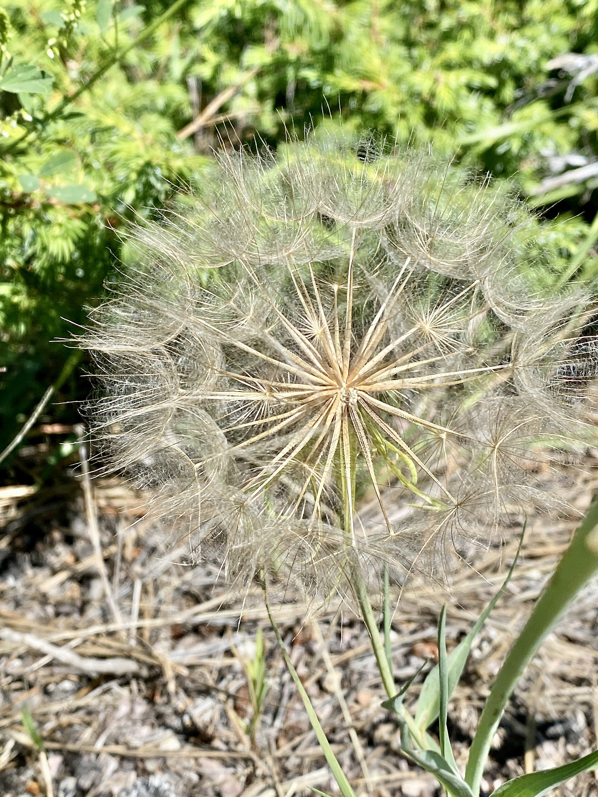 File:Seed Pods, Needles Highway, Custer State Park, Custer, SD.jpgw_lemay · CC BY-SA 2.0 · Wikimedia Commons
-
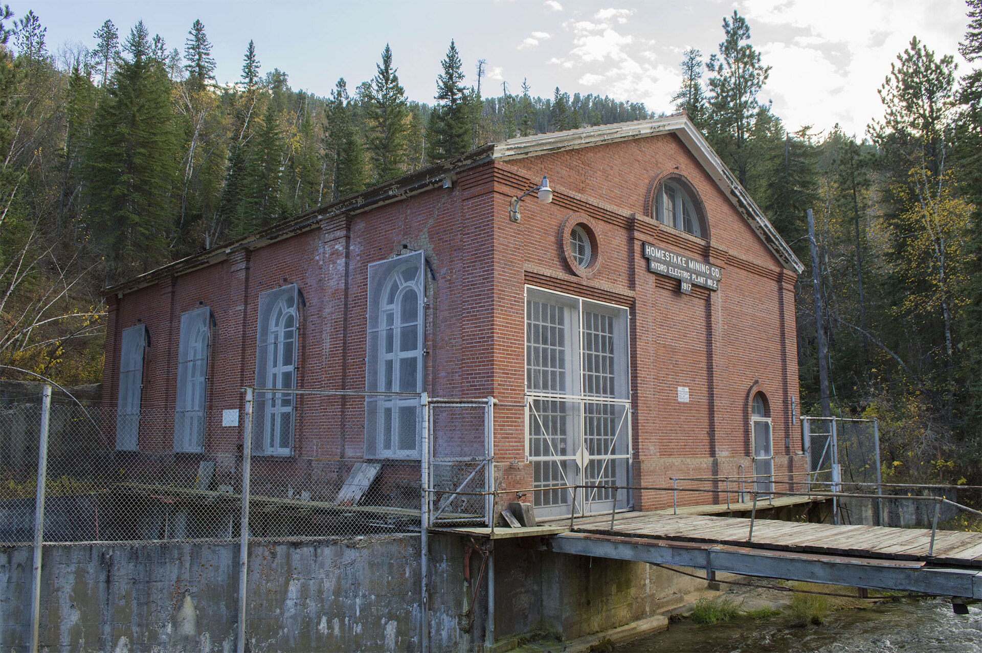 File:Homestake Mining Company Hydroelectric Plant No. 2.jpgTCMemoire · CC0 · Wikimedia Commons
-
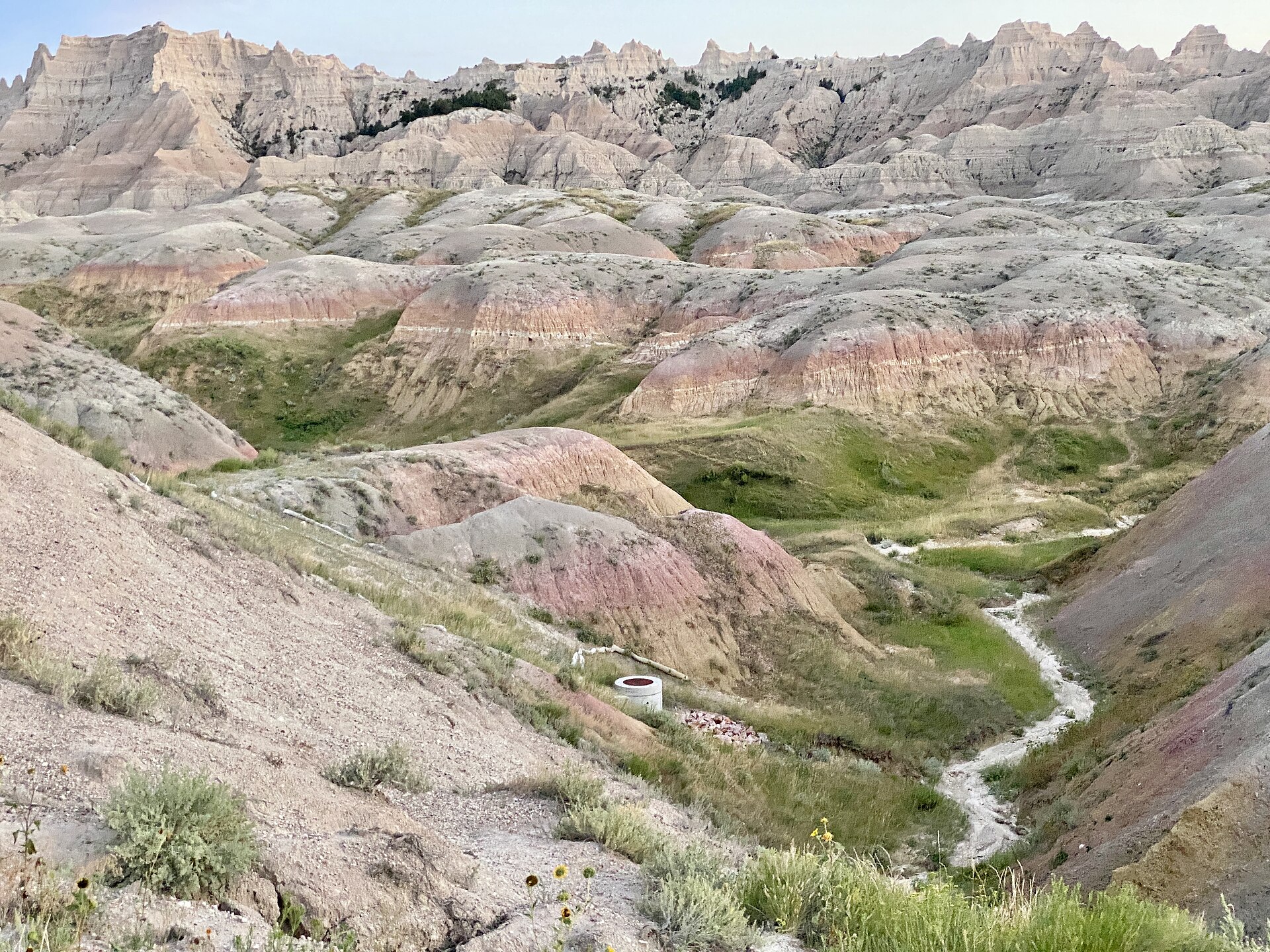 File:View from State Route 240, Badlands National Park, Wall, SD.jpgw_lemay · CC BY-SA 2.0 · Wikimedia Commons
-
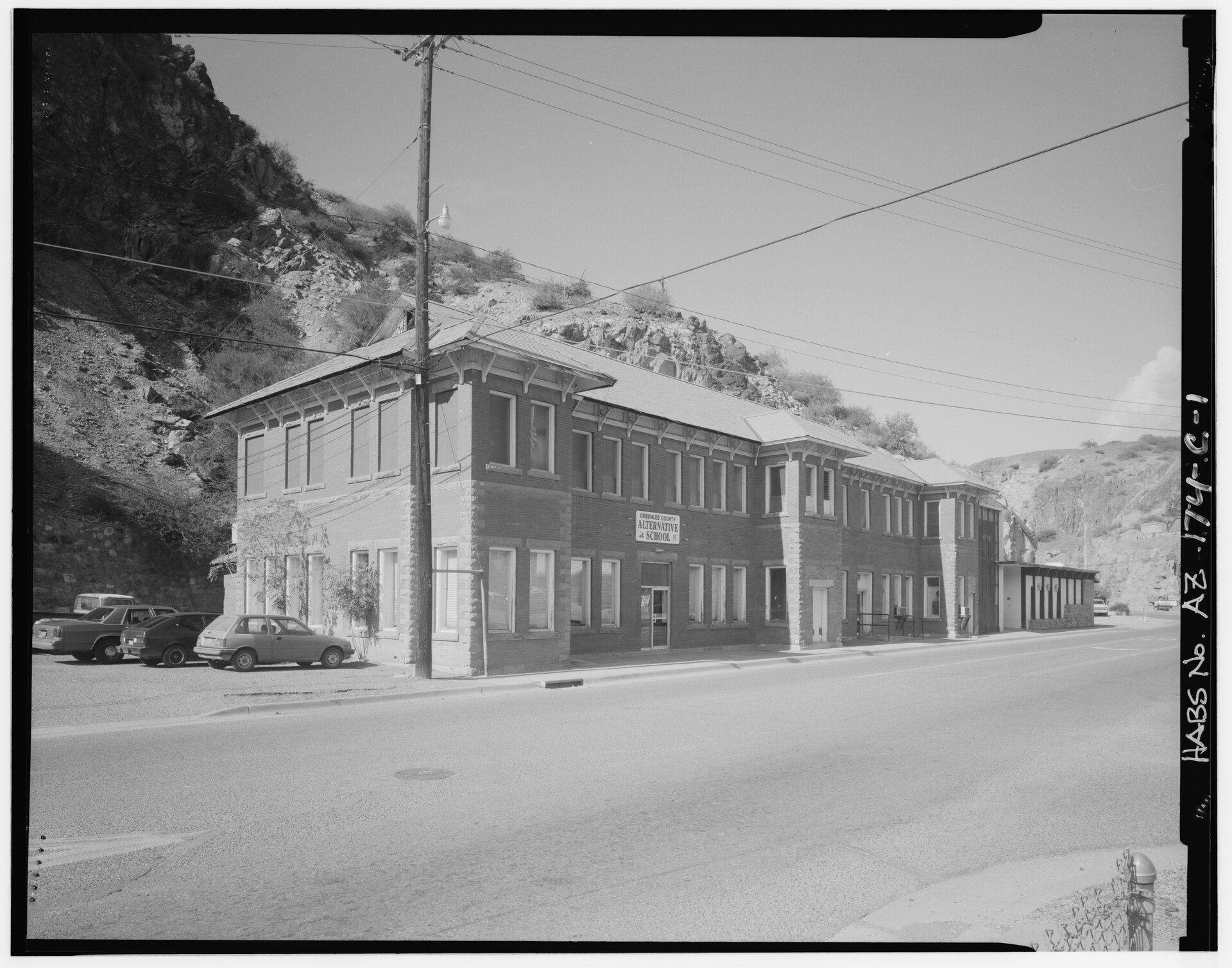 File:Southeast side and northeast front - Arizona Copper Company, Office, Coronado Boulevard, Clifton, Greenlee County, AZ HABS ARIZ,6-CLIFT,9C-1.tifUnknown · Public domain · Wikimedia Commons
-
 File:Saguaro at Dusk - Flickr - treegrow.jpgKatja Schulz from Washington, D. C., USA · CC BY 2.0 · Wikimedia Commons
-
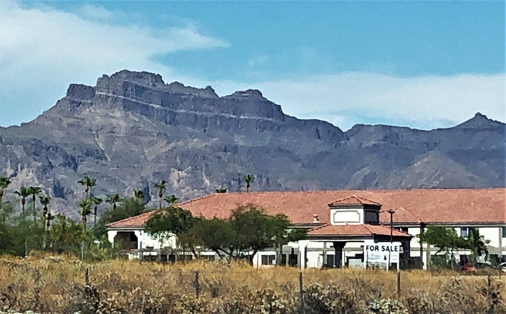 File:2021 Superstition Mountains from U.S. Route 60 at Apache Junction, Arizona.jpgBeyond My Ken · CC BY-SA 4.0 · Wikimedia Commons
-
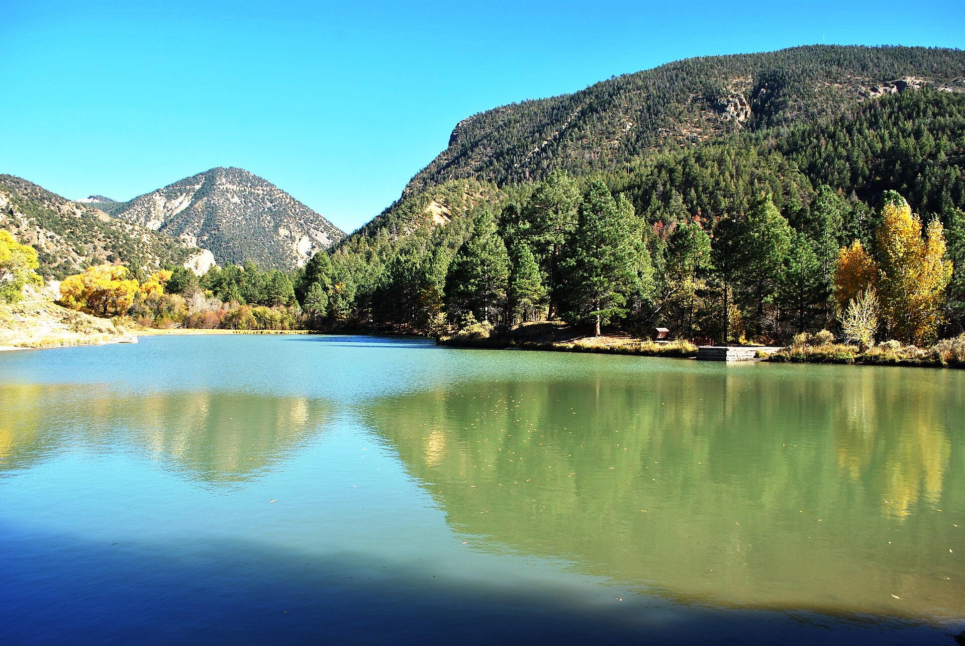 File:Enchanted Circle Scenic Byway.jpgElisa.rolle · CC BY-SA 4.0 · Wikimedia Commons
-
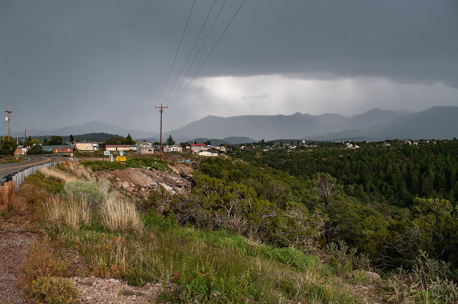 File:Looking east towards the town of Truchas in September of 2018. The Truchas Peaks of the Sangre de Cristo mountains are visible in the distance.jpgMatthew.kowal · CC BY-SA 4.0 · Wikimedia Commons
-
 File:A view into the test cab during a test of the solar furnace operated for the U.S. Army at White Sands Missile Range Alamogordo, New Mexico..., 04-1974 (6919908132).jpgThe U.S. National Archives · No restrictions · Wikimedia Commons
-
 File:Childs' rare flowers, vegetables, and fruits (1903) (20418635200).jpgJohn Lewis Childs (Firm); Henry G. Gilbert Nursery and Seed Trade Catalog Collection · No restrictions · Wikimedia Commons
-
 File:Tugboat Charles Southern.jpgDoug Wertman from Rogers, AR, USA · CC BY 2.0 · Wikimedia Commons
-
 File:Talimena National Scenic Byway November 2016 36 (Round Mountain Vista).jpgMichael Barera · CC BY-SA 4.0 · Wikimedia Commons
-
 File:Cliff Creek and Lava Mountain Fires, Wyoming (MODIS 2016-07-27).jpgJeff Schmaltz, MODIS Land Rapid Response Team, NASA GSFC · Public domain · Wikimedia Commons
-
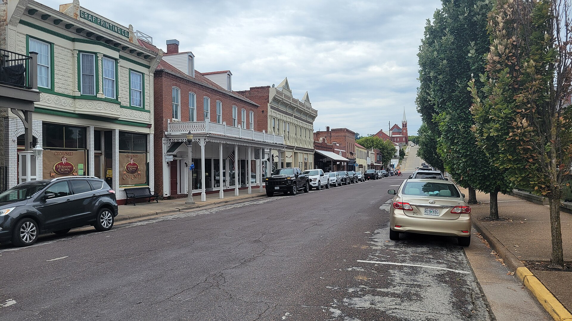 File:East 4th Street in Hermann, Missouri.jpgRuralResurrection · CC BY 4.0 · Wikimedia Commons
-
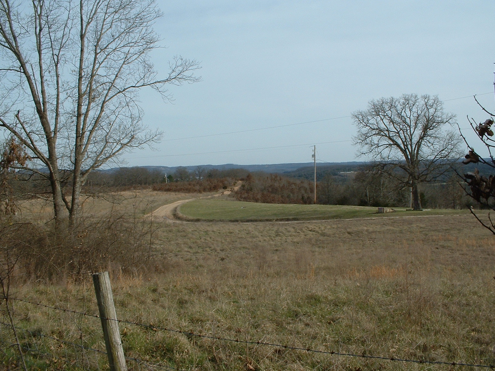 File:Old Pasture and Gravel Road in Peel - panoramio.jpgSemipaw · CC BY 3.0 · Wikimedia Commons
-
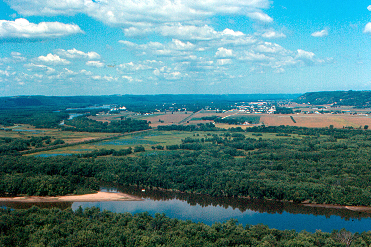 File:Prairie du Chien from Wyalusing State Park.jpgRoger Wollstadt from Sarasota, Florida · CC BY-SA 2.0 · Wikimedia Commons
-
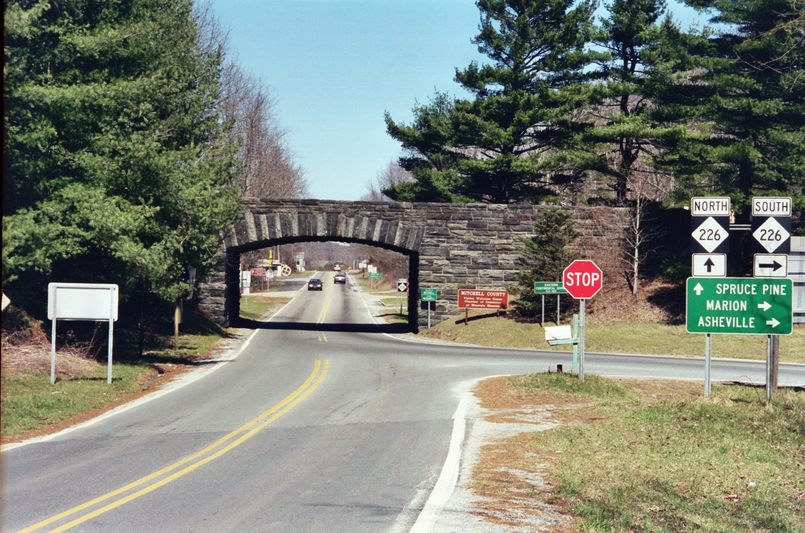 File:NC226A-Blue Ridge Parkway.JPGWashuotaku · CC BY-SA 3.0 · Wikimedia Commons
-
 File:Mike Cottrell College of Business.JPGTheIndecisionEngine · CC BY-SA 3.0 · Wikimedia Commons
-
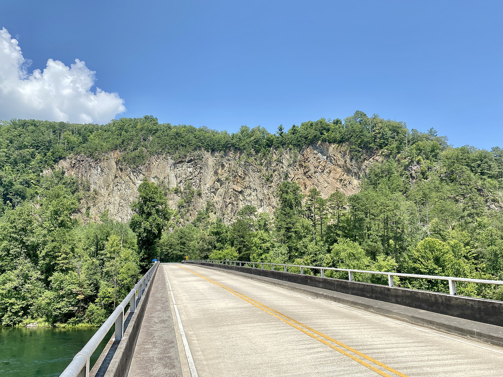 File:North Carolina Highway 28 Bridge, Fontana Dam, NC - 51418433658.jpgw_lemay · CC BY-SA 2.0 · Wikimedia Commons
-
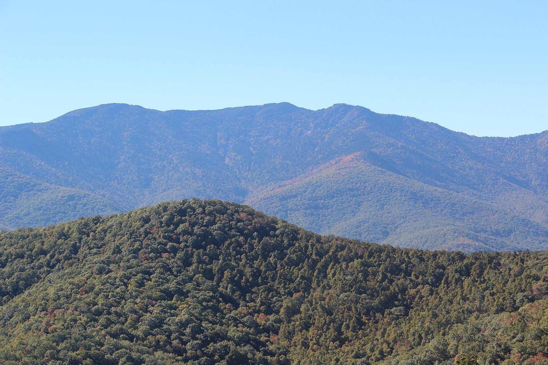 File:Balsam Cone, Cattail Peak, Potato Hill from Black Mountains Overlook.jpgThomson200 · CC0 · Wikimedia Commons
-
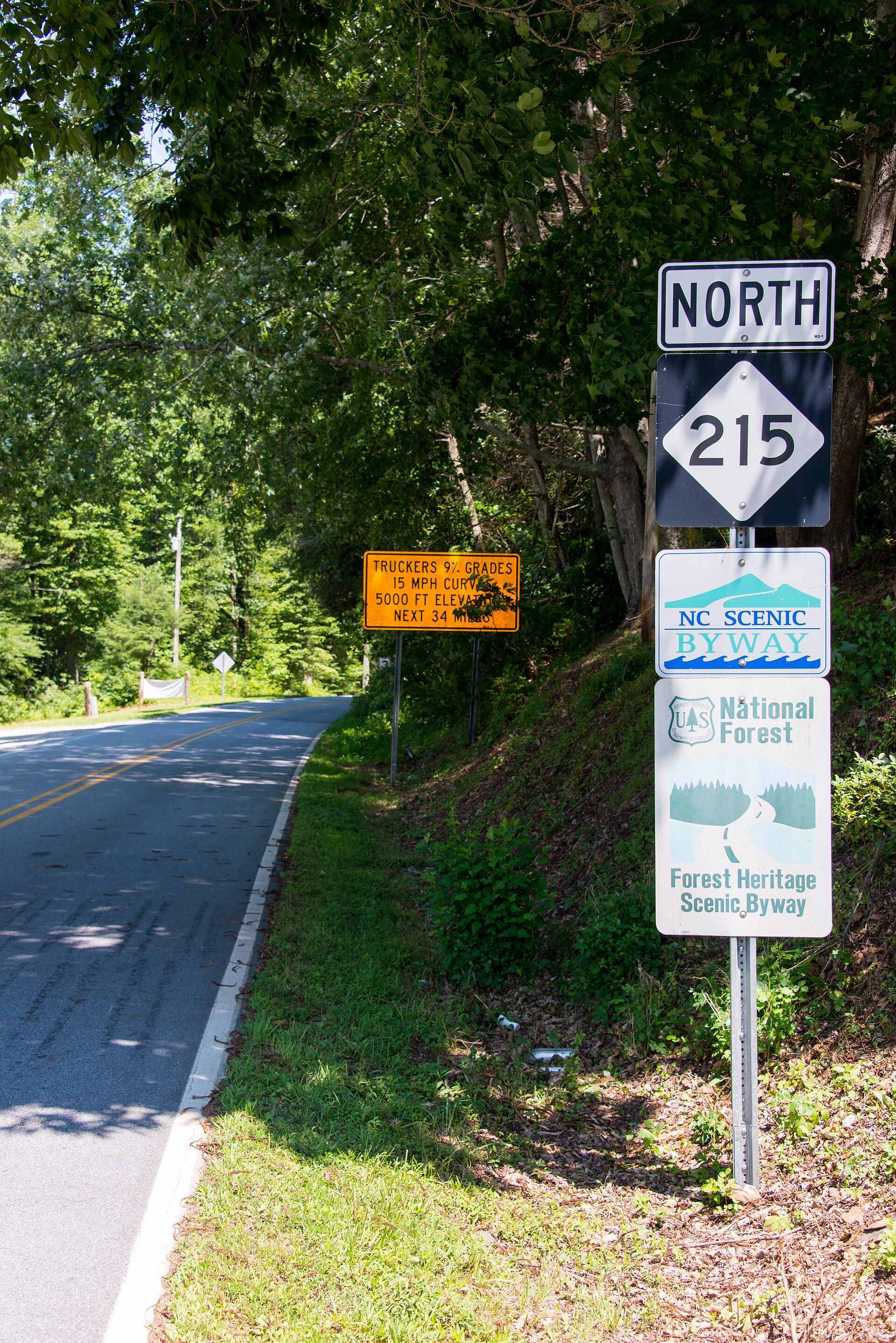 File:NC215North.jpgWashuotaku · CC BY-SA 3.0 · Wikimedia Commons
-
 File:Couple in a wintry forest (Unsplash).jpgEmma Frances Logan emmafranceslogan · CC0 · Wikimedia Commons
-
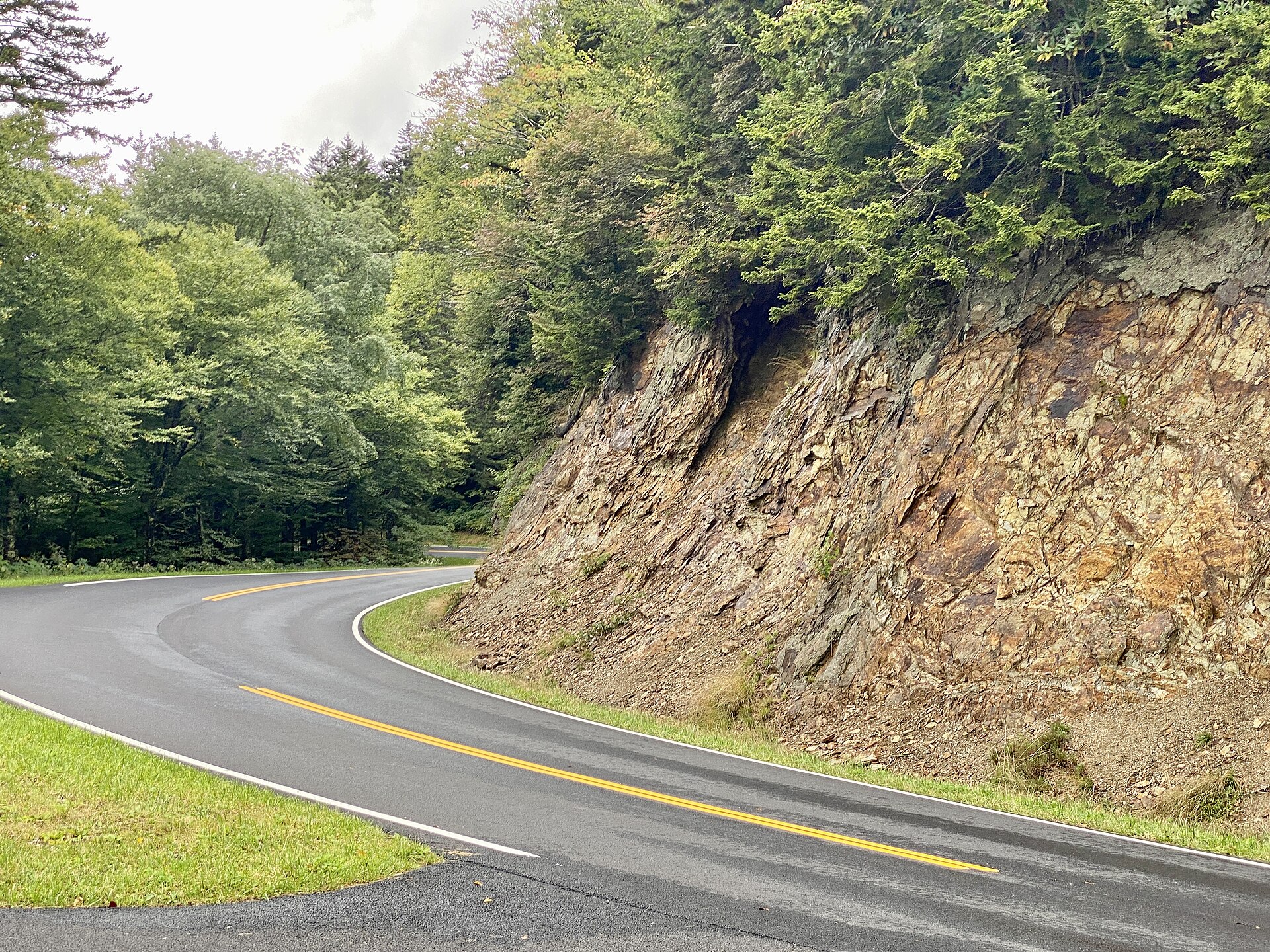 File:Clingmans Dome Road, Great Smoky Mountains National Park, Swain County, NC.jpgw_lemay · CC BY-SA 2.0 · Wikimedia Commons
-
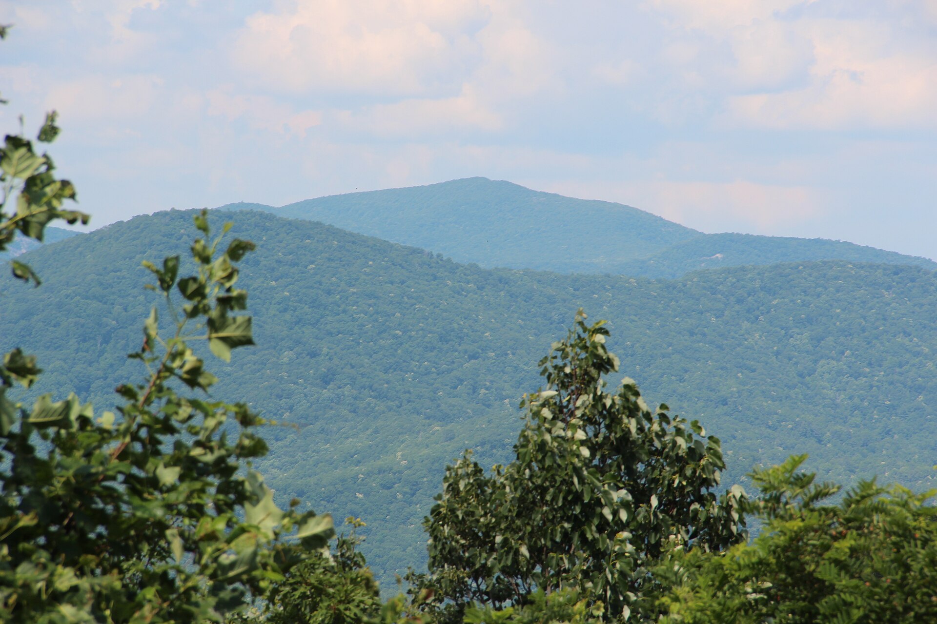 File:Rabun Bald viewed from Black Rock Mountain State Park, July 2016.jpgThomson200 · CC0 · Wikimedia Commons
-
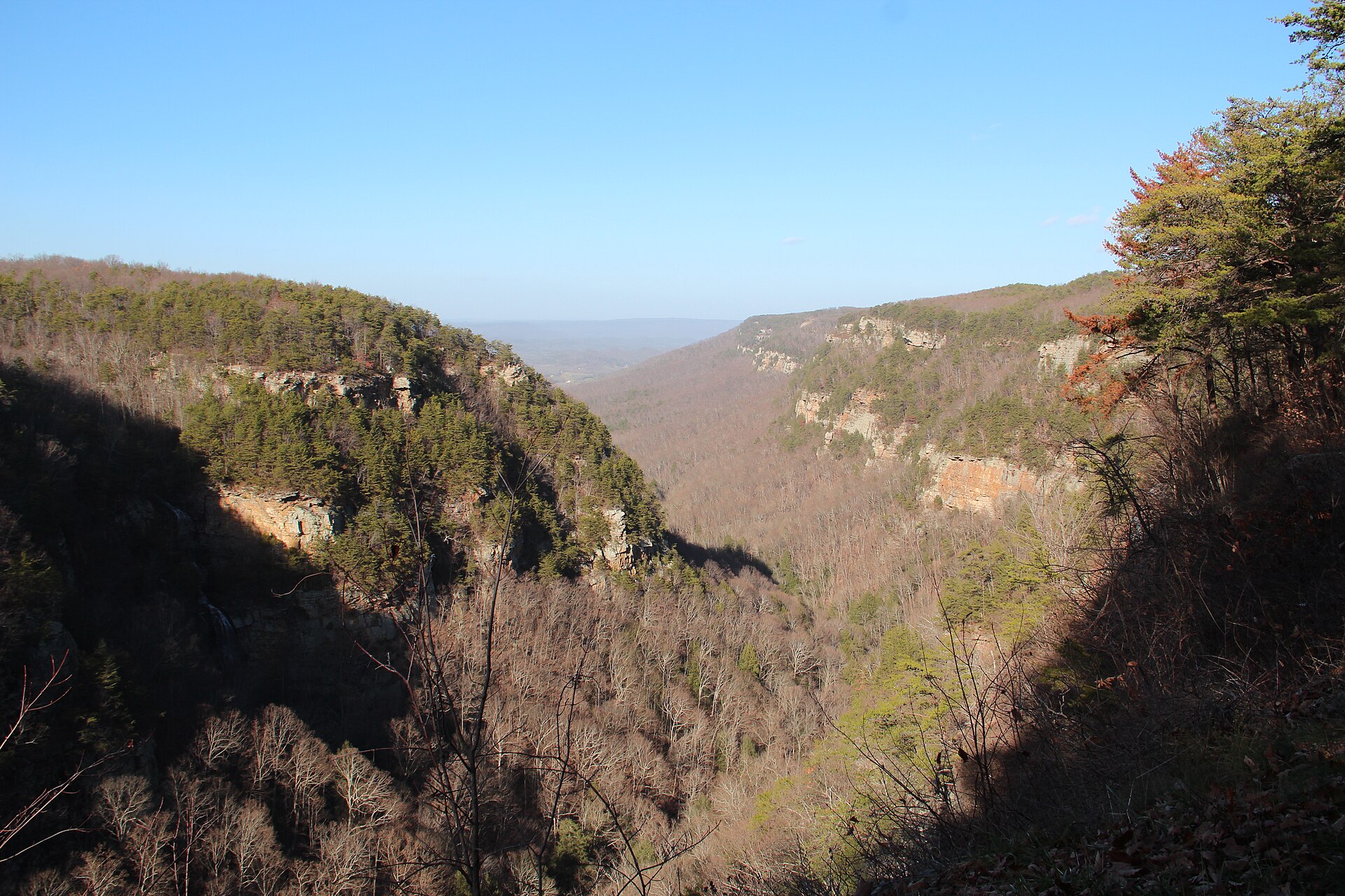 File:Cloudland canyon view.JPGThomsonmg2000 · CC0 · Wikimedia Commons
-
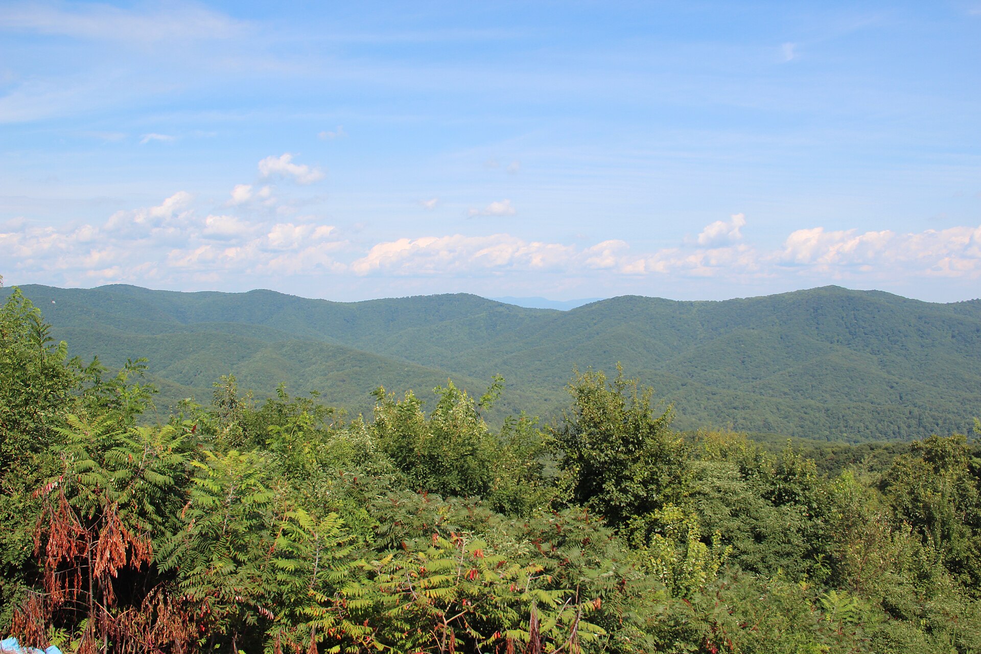 File:Cohutta Mountains - panoramio (1).jpgThomson M · CC BY 3.0 · Wikimedia Commons
-
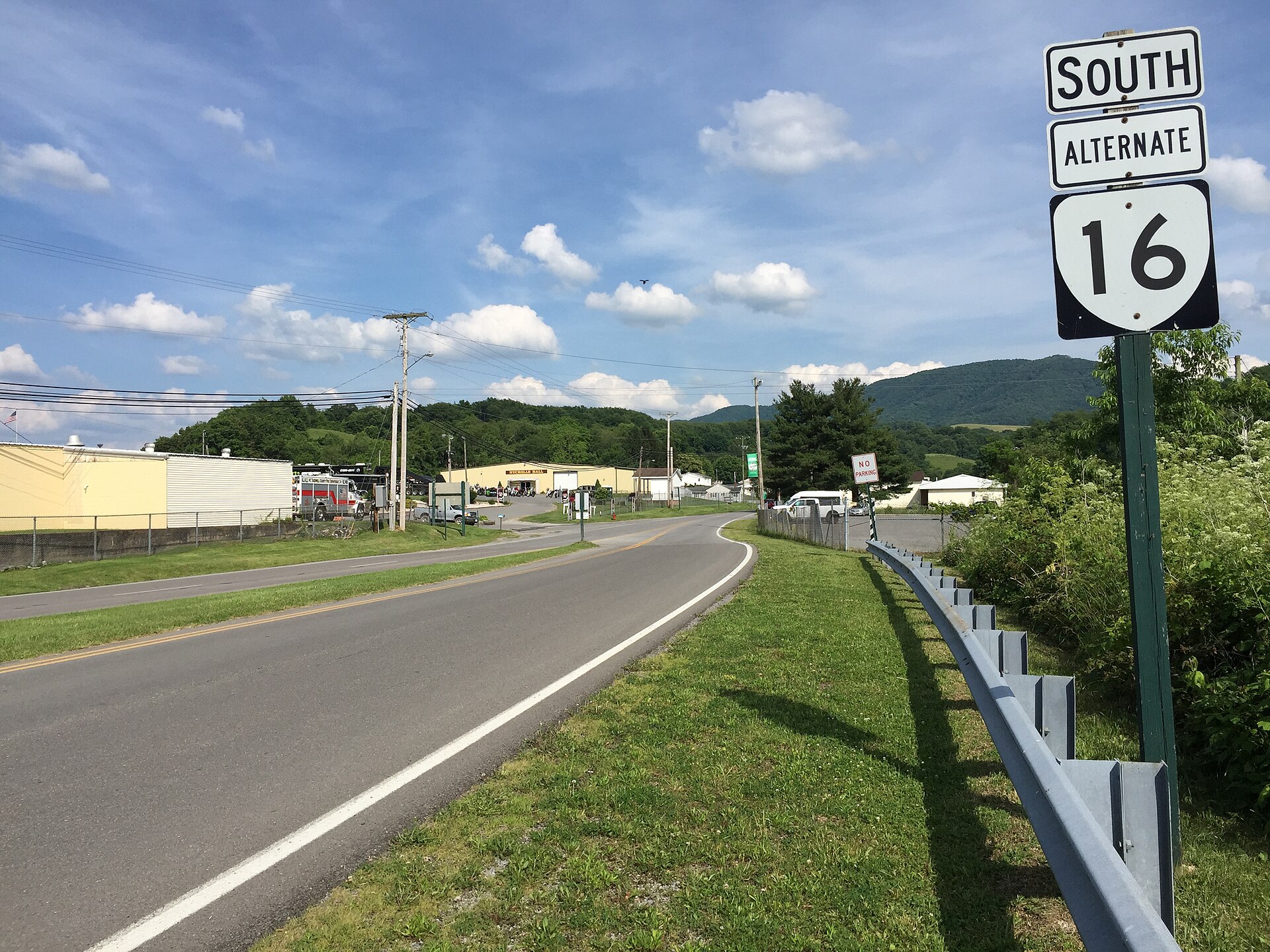 File:2017-06-11 17 12 39 View south along Virginia State Route 16 Alternate (Fairground Road) just south of U.S. Route 19 and U.S. Route 460 (Governor G C Peery Highway) in Tazewell, Tazewell County, Virginia.jpgFamartin · CC BY-SA 4.0 · Wikimedia Commons
-
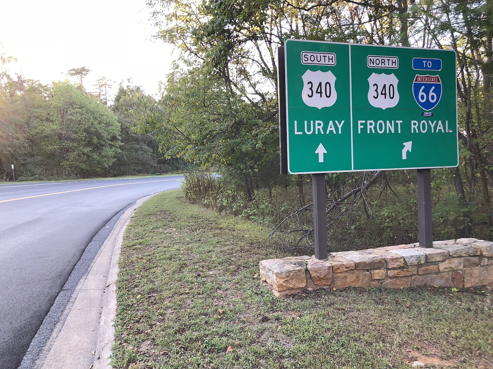 File:2019-10-11 17 42 34 View north at the north end of Virginia State Route 48 (Shenandoah National Park's Skyline Drive) at U.S. Route 340 (Stonewall Jackson Highway) in Warren County, Virginia.jpgFamartin · CC BY-SA 4.0 · Wikimedia Commons
-
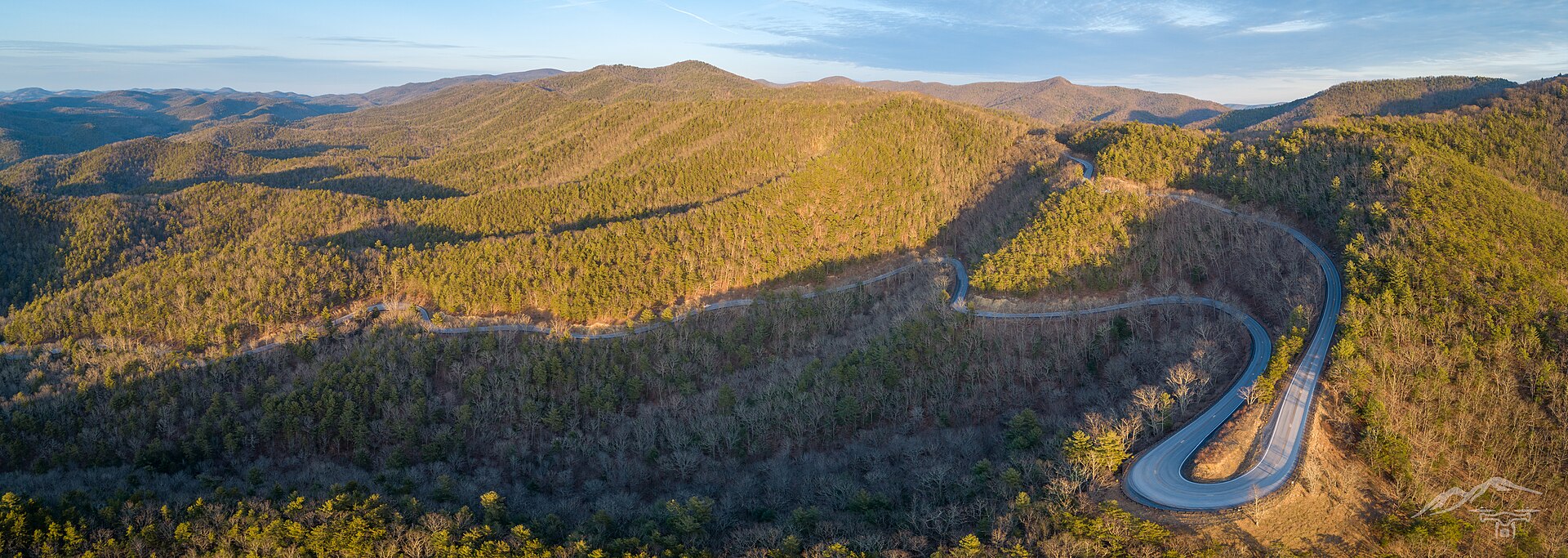 File:US-250 Highland County VA.jpgInflightAIS · CC BY-SA 4.0 · Wikimedia Commons
-
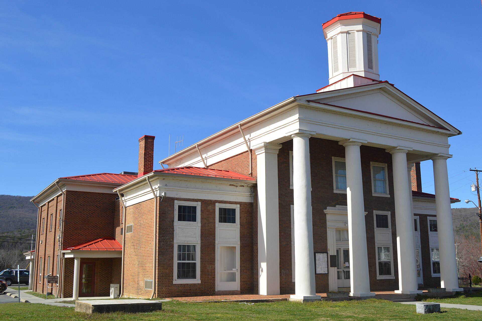 File:Craig County Courthouse, New Castle.jpgNyttend · Public domain · Wikimedia Commons
-
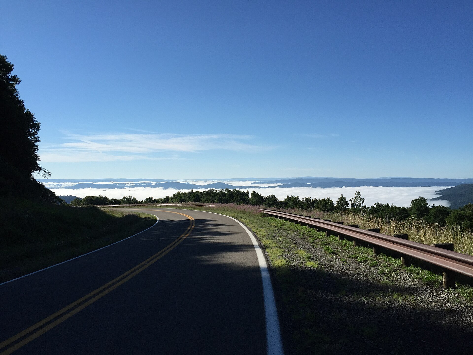 File:2017-07-30 08 51 00 View southeast into the fog-filled valley of Stony Creek from West Virginia State Route 150 (Highland Scenic Highway) at the Red Lick Scenic Overlook in Pocahontas County, West Virginia.jpgFamartin · CC BY-SA 4.0 · Wikimedia Commons
-
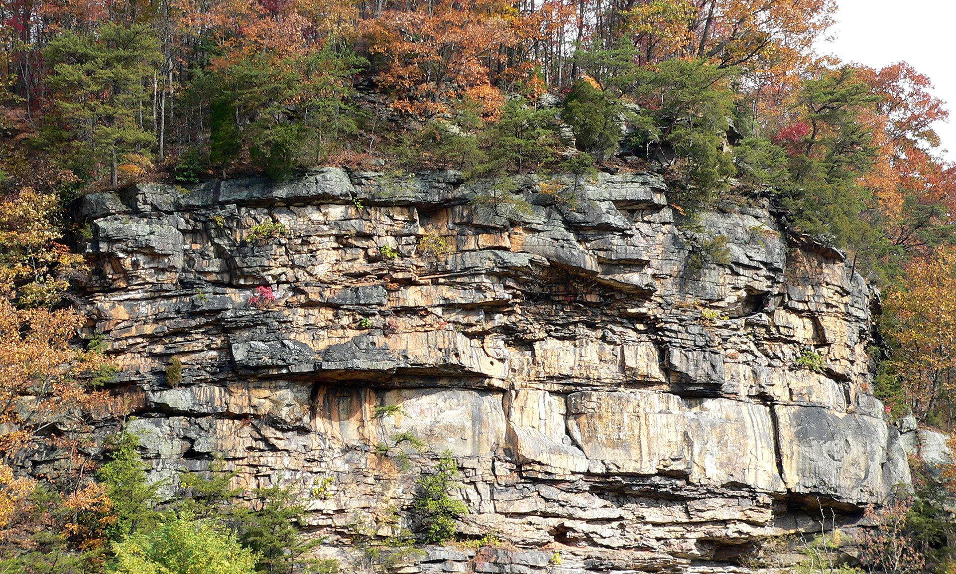 File:Cliffs above Gauley-27527.jpgKen Thomas · Public domain · Wikimedia Commons
-
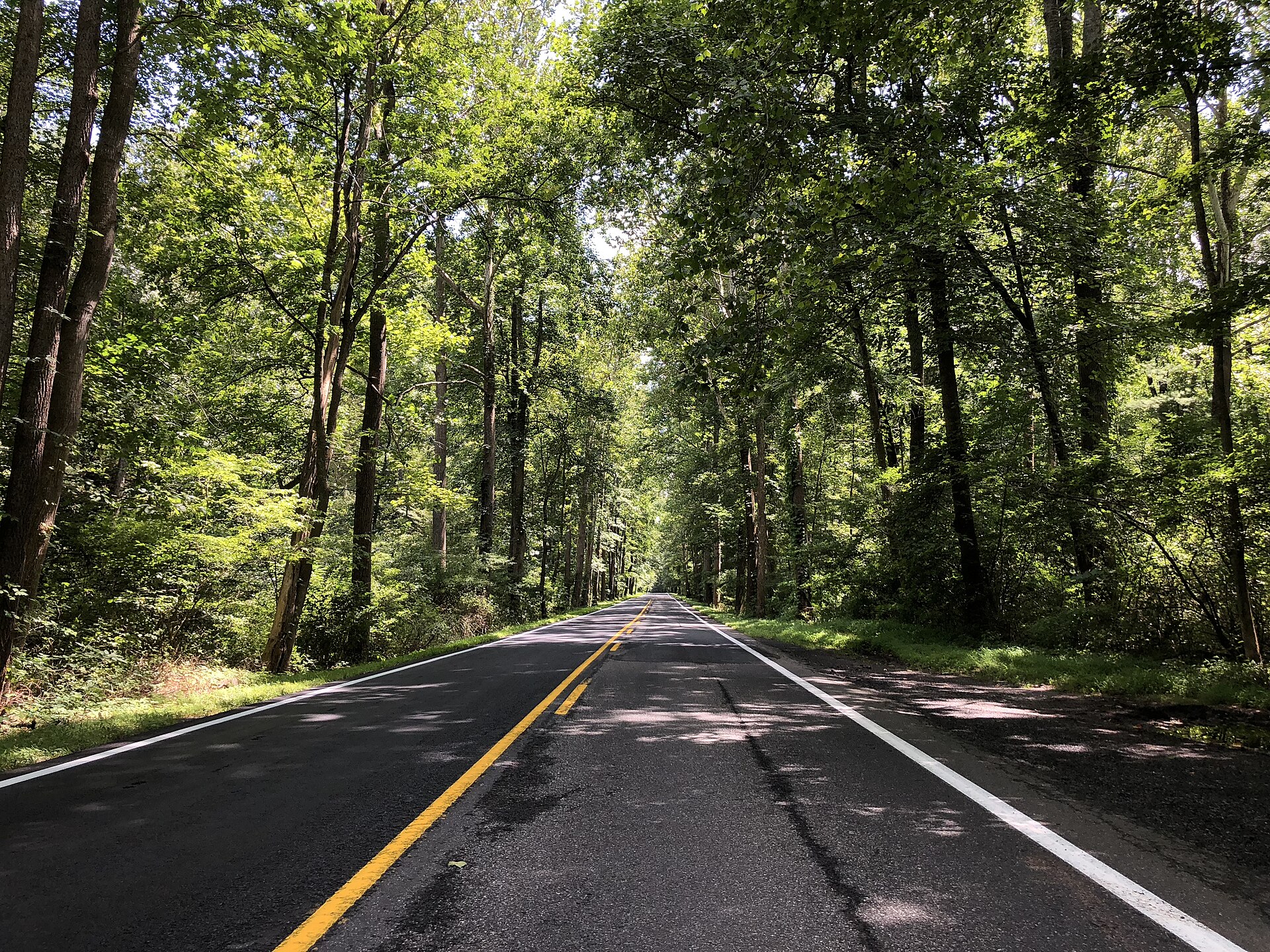 File:2019-08-09 14 21 14 View east along U.S. Route 33 (Rawley Pike) within the George Washington National Forest near Rawley Springs, Rockingham County, Virginia.jpgFamartin · CC BY-SA 4.0 · Wikimedia Commons
-
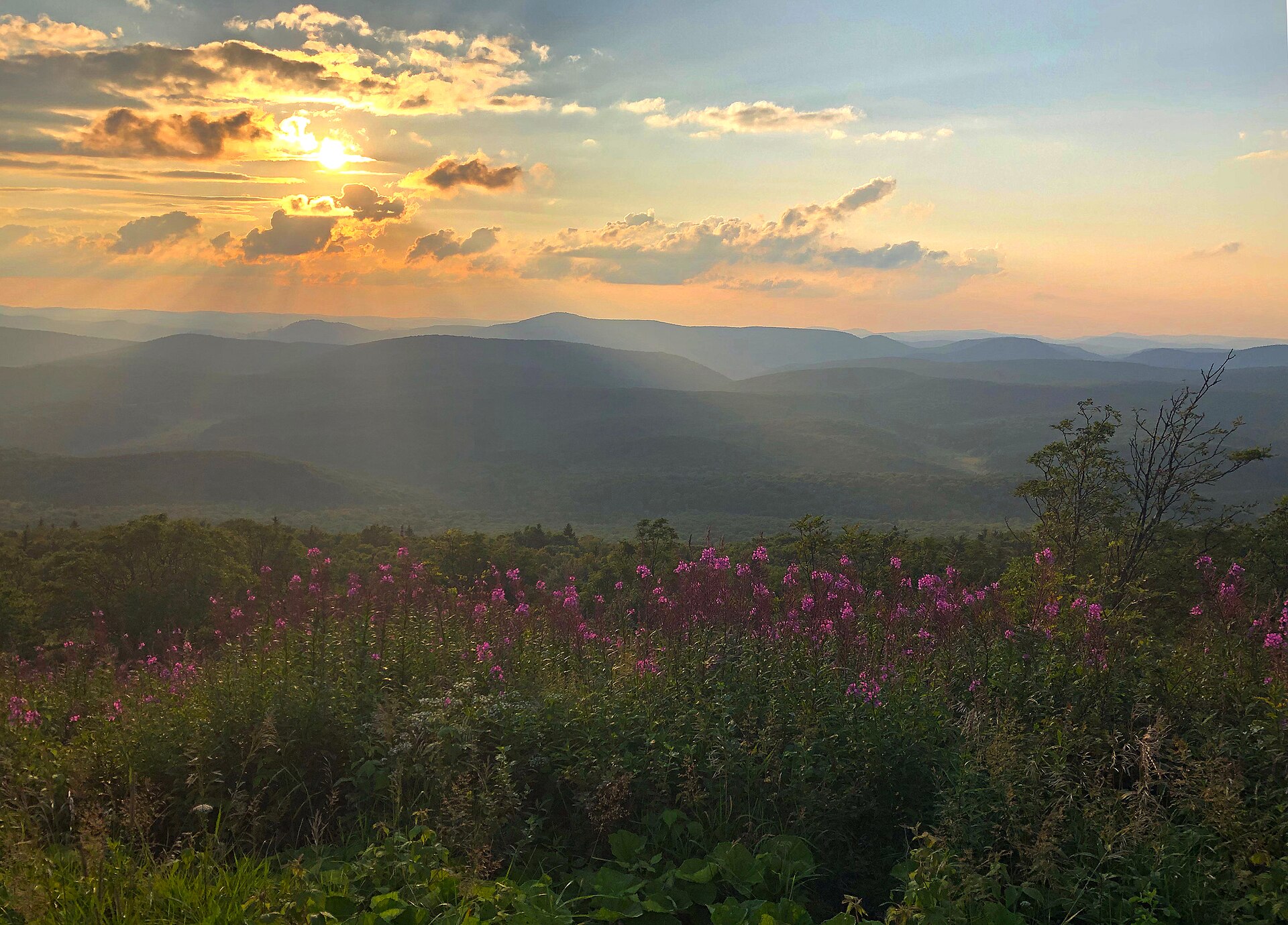 File:20190803-FS-Monongahel-RF-003 (48522226786).jpgMonongahela National Forest from Elkins, WV, United States · Public domain · Wikimedia Commons
-
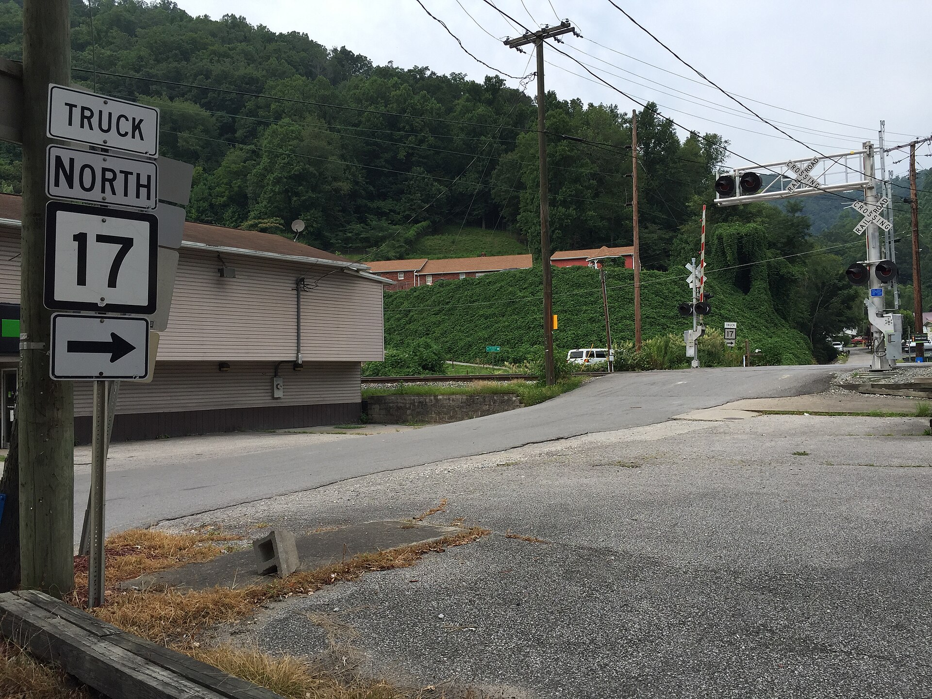 File:2017-07-22 17 05 23 View north along West Virginia State Route 17 Truck (Stollings Road) at West Virginia State Route 10 (Stollings Avenue) in Stollings, Logan County, West Virginia.jpgFamartin · CC BY-SA 4.0 · Wikimedia Commons
-
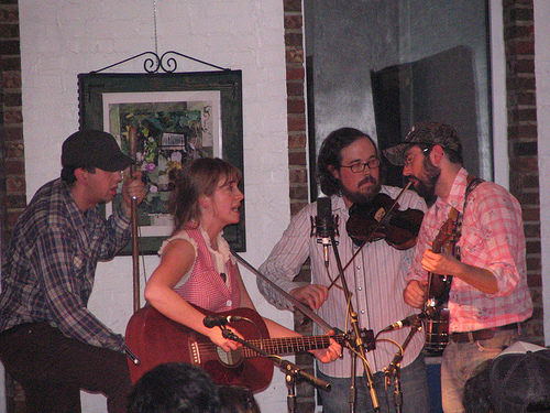 File:Clack Mountain String Band Letcher County KY March 2008.jpgAaron · CC BY 2.0 · Wikimedia Commons
-
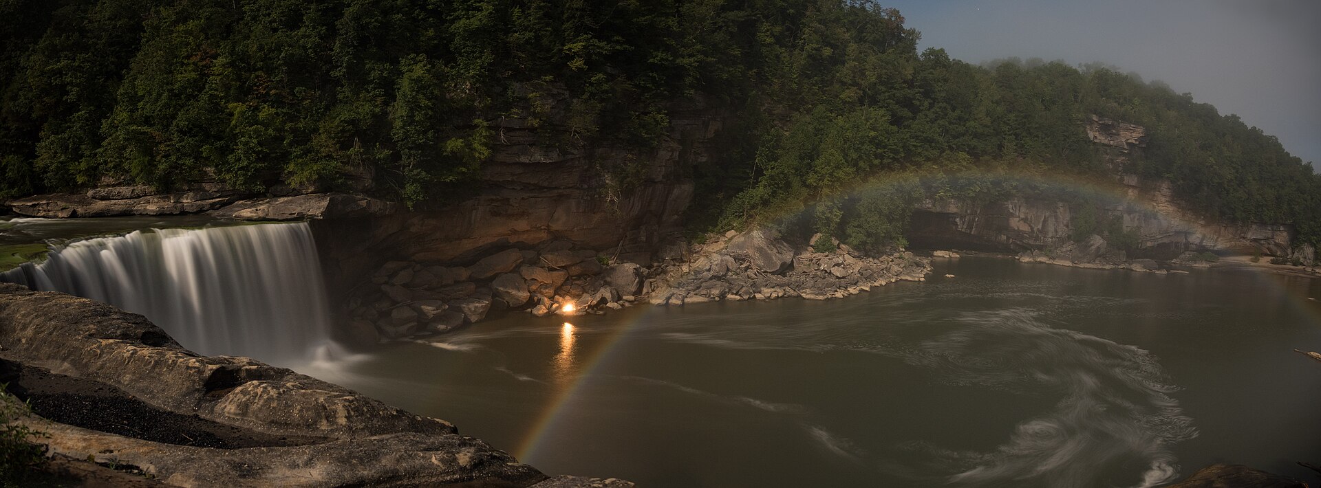 File:Cumberland Falls Moonbow panarama.jpgDesign219 · CC BY-SA 4.0 · Wikimedia Commons
-
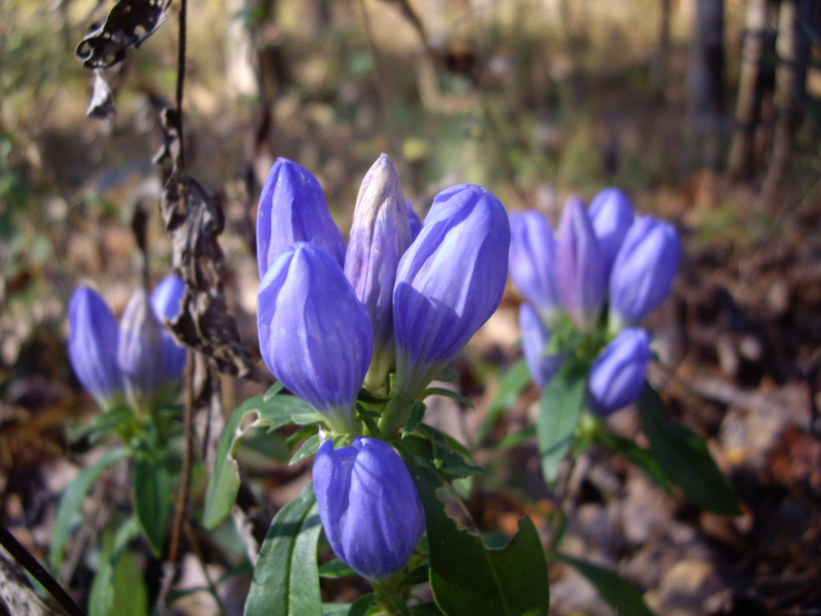 File:Alabama Gentians.jpgChris Hartman from Boston, Massachusetts, United States · CC BY 2.0 · Wikimedia Commons
-
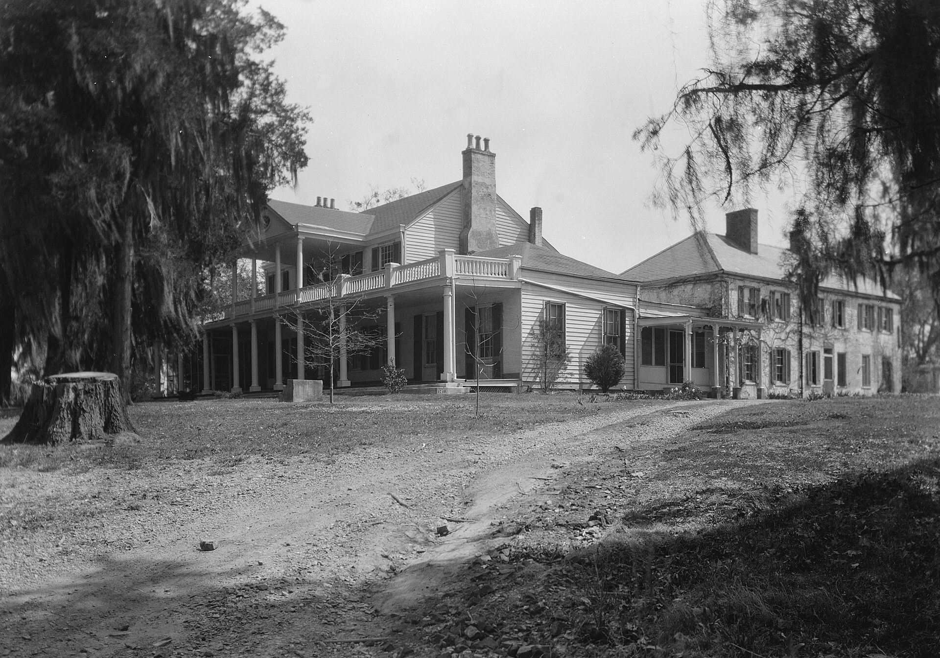 File:Linden in Natchez.jpgRalph Clynne · Public domain · Wikimedia Commons
-
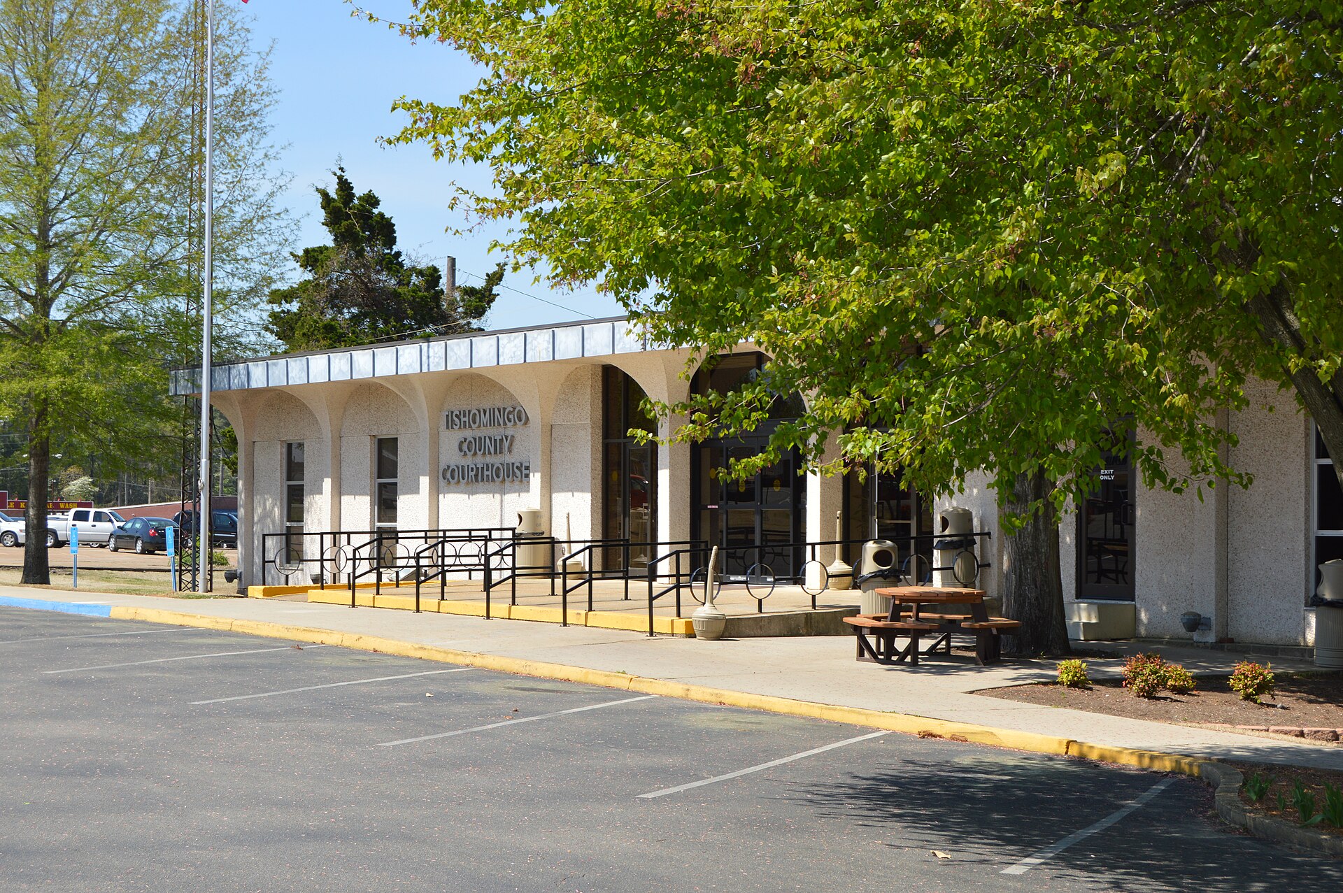 File:Tishomingo County Courthouse in Iuka.jpgNyttend · Public domain · Wikimedia Commons
-
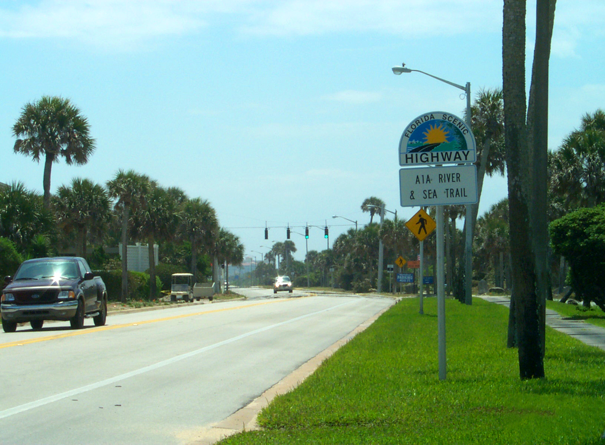 File:A1A Scenic and Historic Coastal Byway - A1A Scenic Highway Roadsign - NARA - 7716754.jpgUnknown authorUnknown author or not provided · Public domain · Wikimedia Commons
-
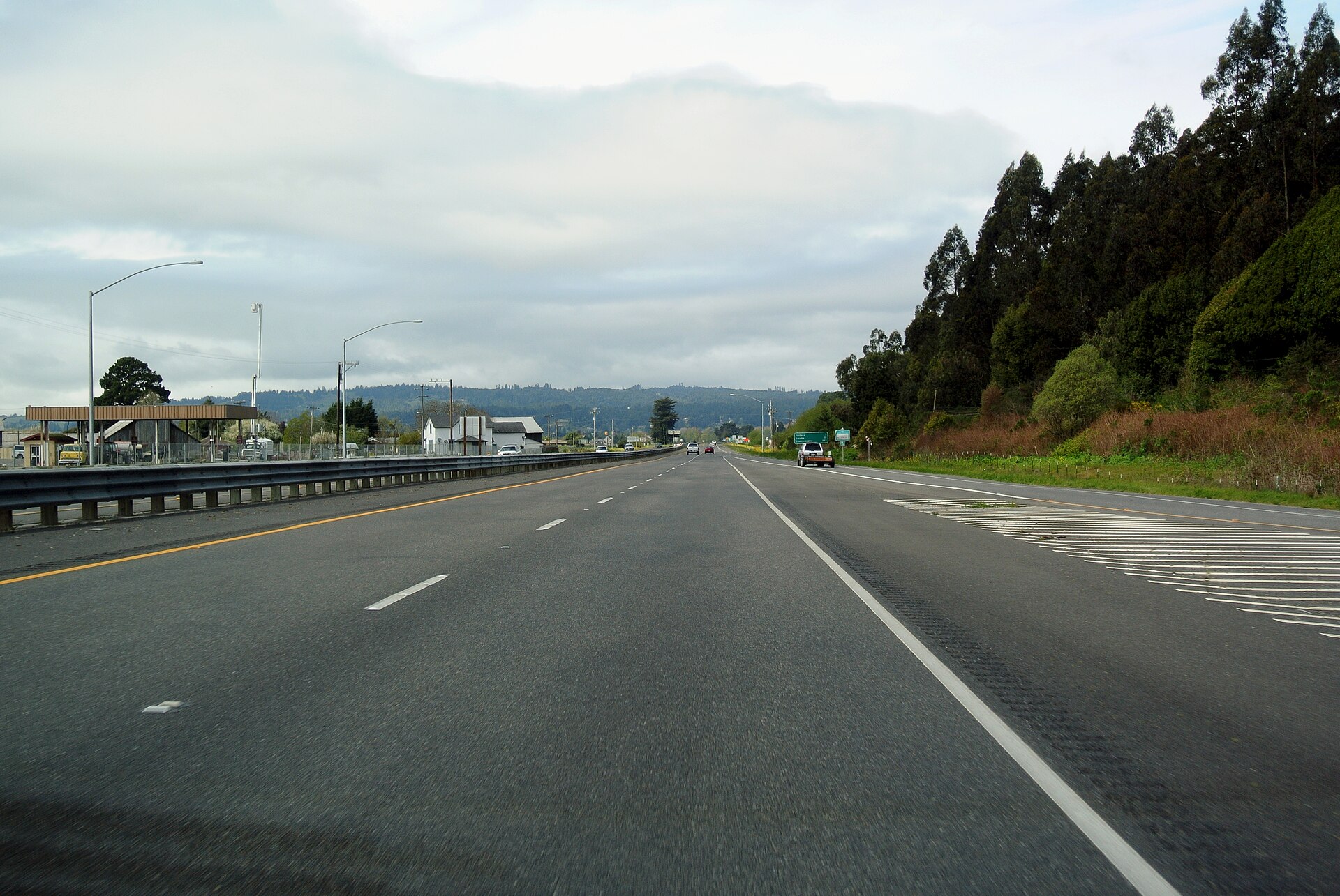 File:US 101 Alton.jpgAdbar · CC BY-SA 3.0 · Wikimedia Commons
-
 File:Historic American Buildings Survey Roger Sturtevant, Photographer. Jan. 21, 1934 DETAIL VIEW - Stone Dam, Sonora, Tuolumne County, CA HABS CAL,55-SONO.V,1-2.tifUnknown · Public domain · Wikimedia Commons
-
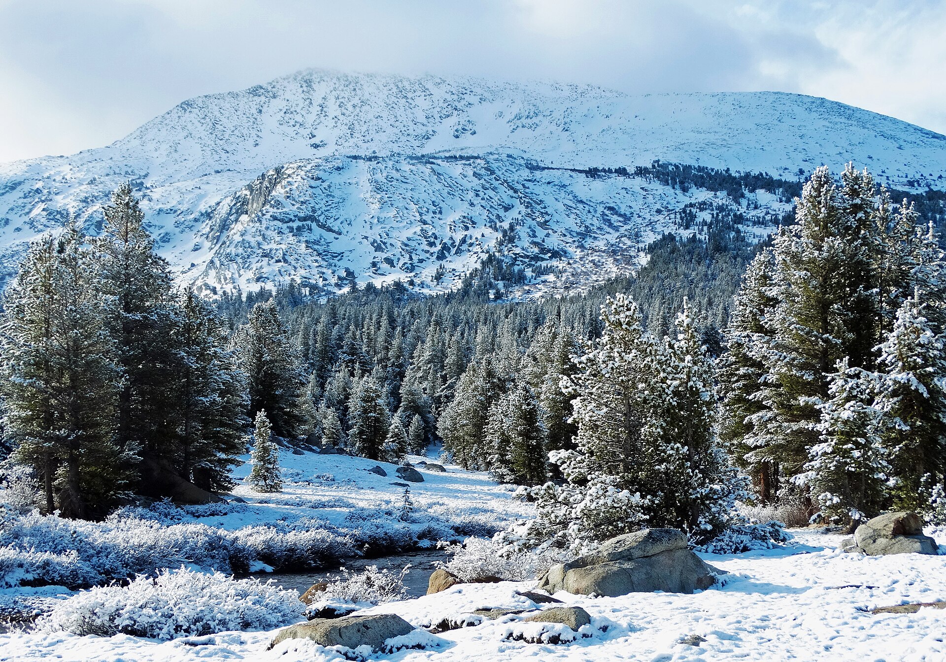 File:Early Snow, Yosemite High Country 2015 (32651222015).jpginkknife_2000 (7.5 million views +) · CC BY-SA 2.0 · Wikimedia Commons
-
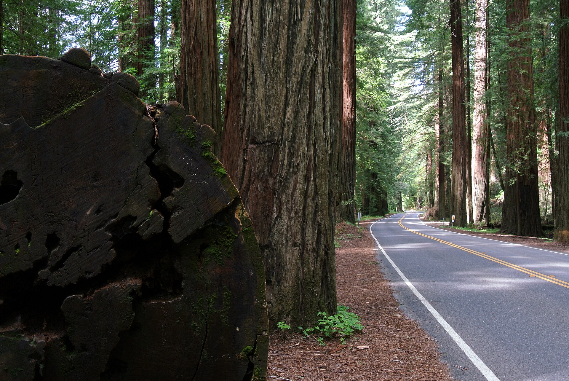 File:CA 254 Avenue of the Giants.jpgAdbar · CC BY-SA 3.0 · Wikimedia Commons
-
 File:VIEW OF ROAD AT ASH MOUNTAIN VISITOR CENTER FACING SOUTH. PARKING VISIBLE AT LEFT AT RIGHT - Generals Highway, Three Rivers, Tulare County, CA HAER CAL,54-THRIV.V,2-63.tifGrogan, Brian C., creator · Public domain · Wikimedia Commons
-
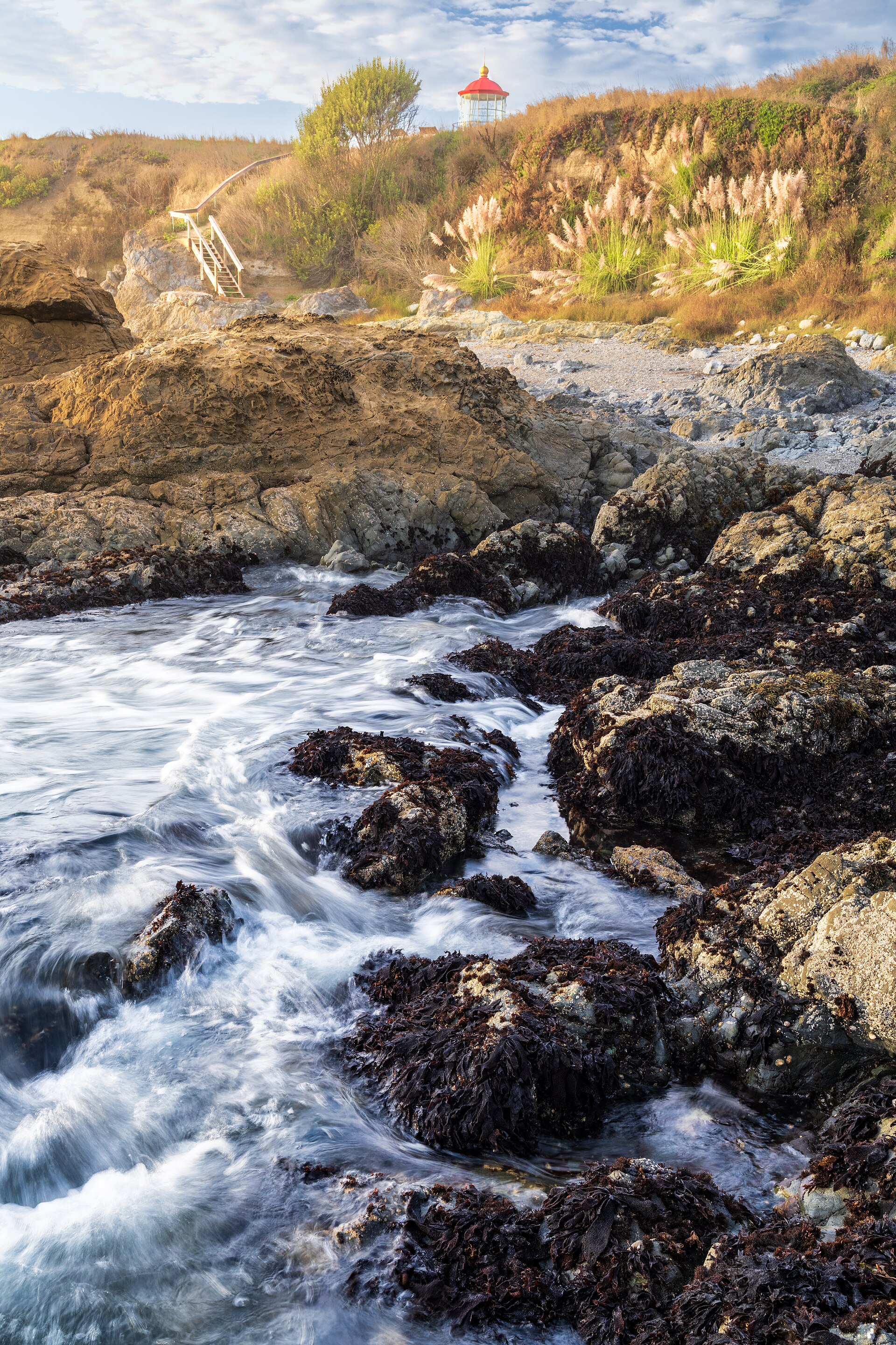 File:Cape Mendocino Lighthouse, King Range NCA (54103399691).jpgblmcalifornia · Public domain · Wikimedia Commons
-
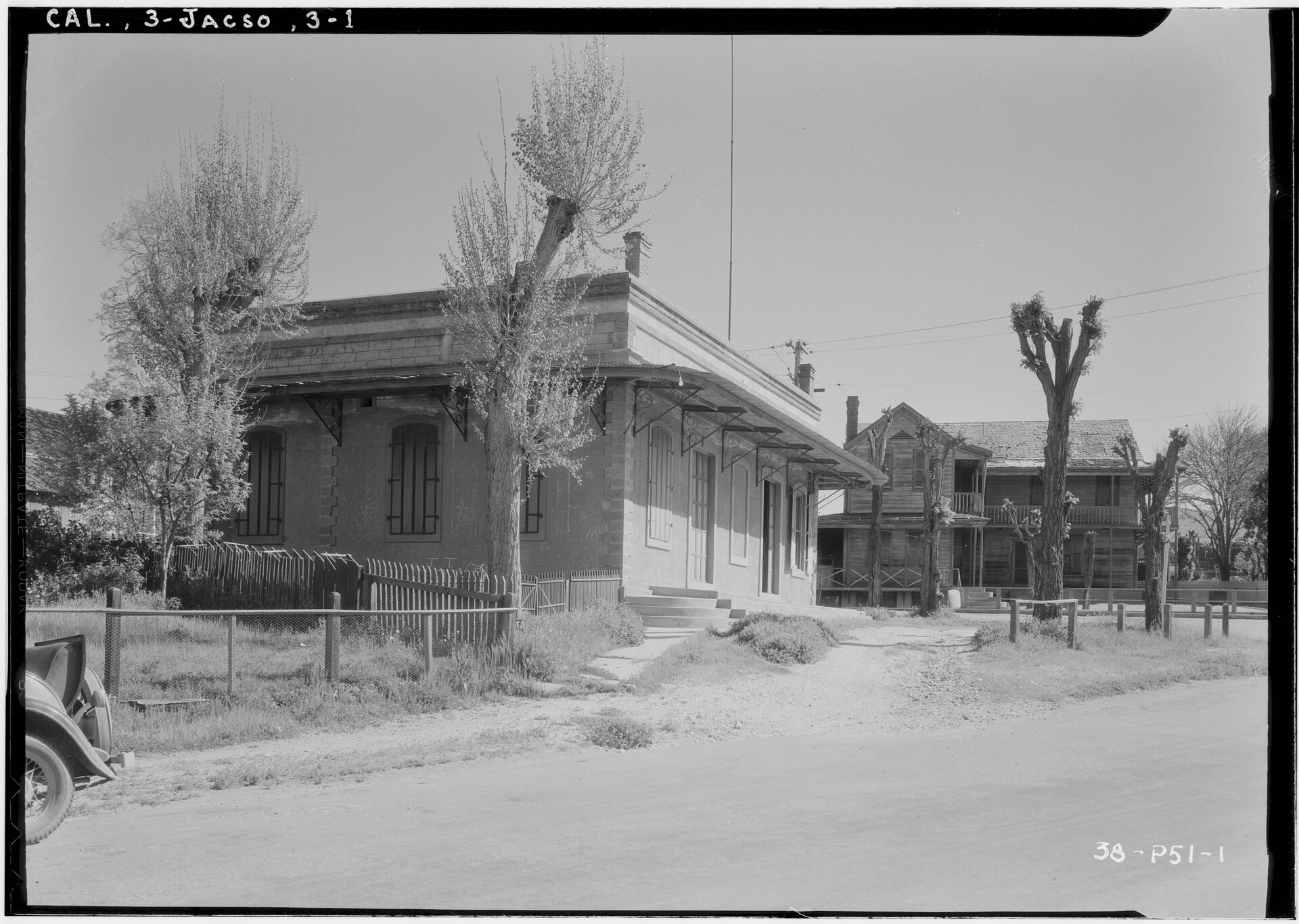 File:Historic American Buildings Survey Roger Sturtevant, Photographer Apr. 6, 1934 VIEW FROM SOUTH-WEST (MARRE BUILDING IN FORE GROUND) - Hotel, Marcucci and Broadway, Jackson, Amador HABS CAL,3-JACSO,1-2.tifUnknown · Public domain · Wikimedia Commons
-
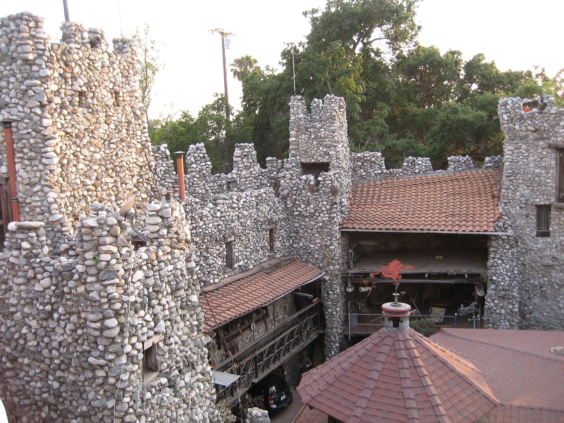 File:View from a tower.JPGSandylibrarian · CC BY-SA 3.0 · Wikimedia Commons
-
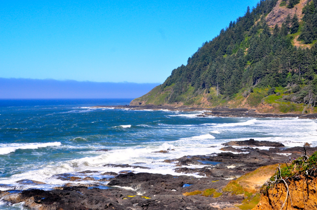 File:OREGON COAST AT YACHATS,OR (8037825637).jpgDAVID S. FERRY III from PLANT CITY,FL., U.S.A. · CC BY-SA 2.0 · Wikimedia Commons
-
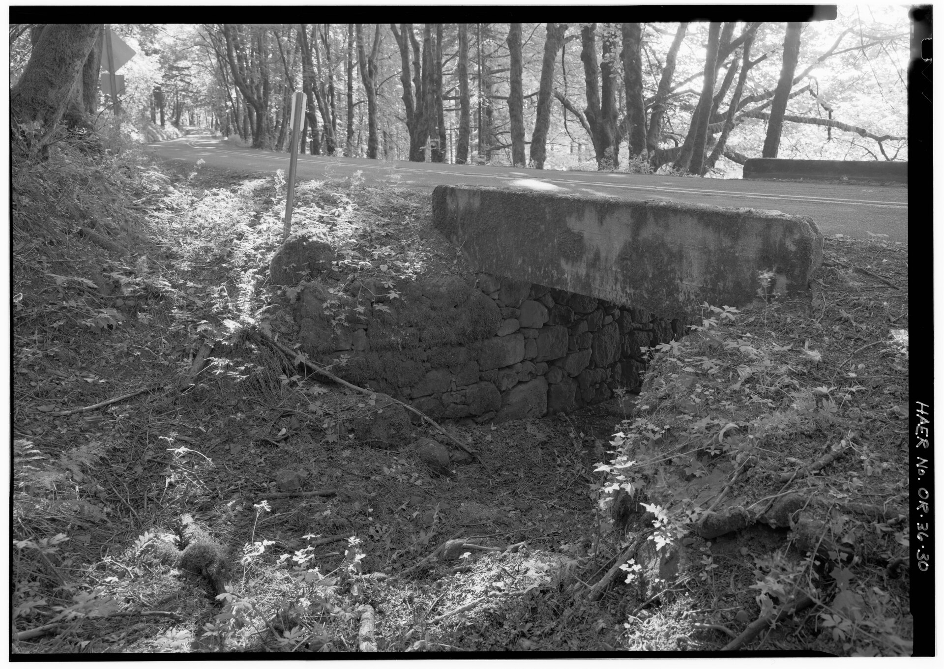 File:CATTLEPASS NEAR BRIDAL VEIL FALLS. - Historic Columbia River Highway, Troutdale, Multnomah County, OR HAER ORE,26-TROUT.V,1-30.tifRelated names: Hill, Samuel; Lancaster, Samuel C; Billner, K P; Metzger, Lewis W; McCullough, Conde B; Oregon Department of Transportation; Pierce, Elaine G, field team project manager; Croteau, Todd, project manager; Herrin, Dean A, project manager; Hadlow, Robert W, historian; Simonenko, Vladimir V, delineator; Rumi, Christine, delineator; Brooks, Pete, delineator; Selph, Helen I, delineator; Zeller, Jodi C, delineator; Lowe, Jet, photographer · Public domain · Wikimedia Commons
-
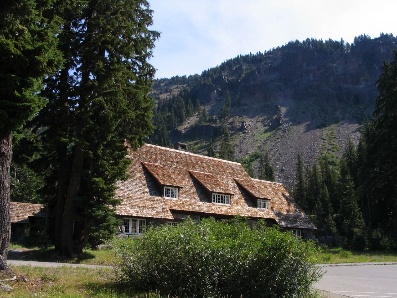 File:Steel Information Center, Park Headquarters, Crater Lake National Park, Oregon (219285684).jpgKen Lund from Reno, Nevada, USA · CC BY-SA 2.0 · Wikimedia Commons
-
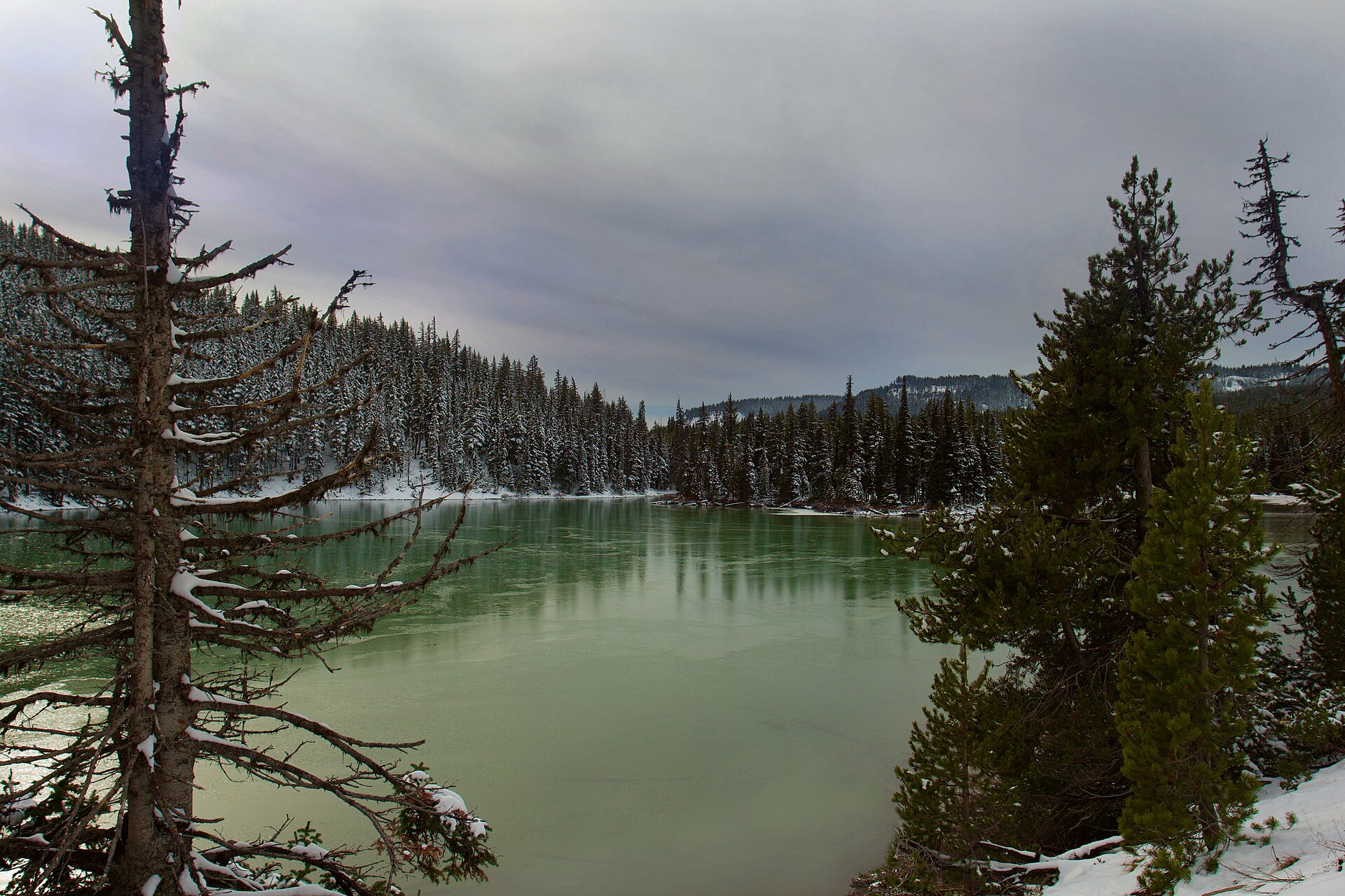 File:Devils Lake, Oregon - Flickr - Bonnie Moreland (free images).jpgBonnie Moreland from Oregon, United States · Public domain · Wikimedia Commons
-
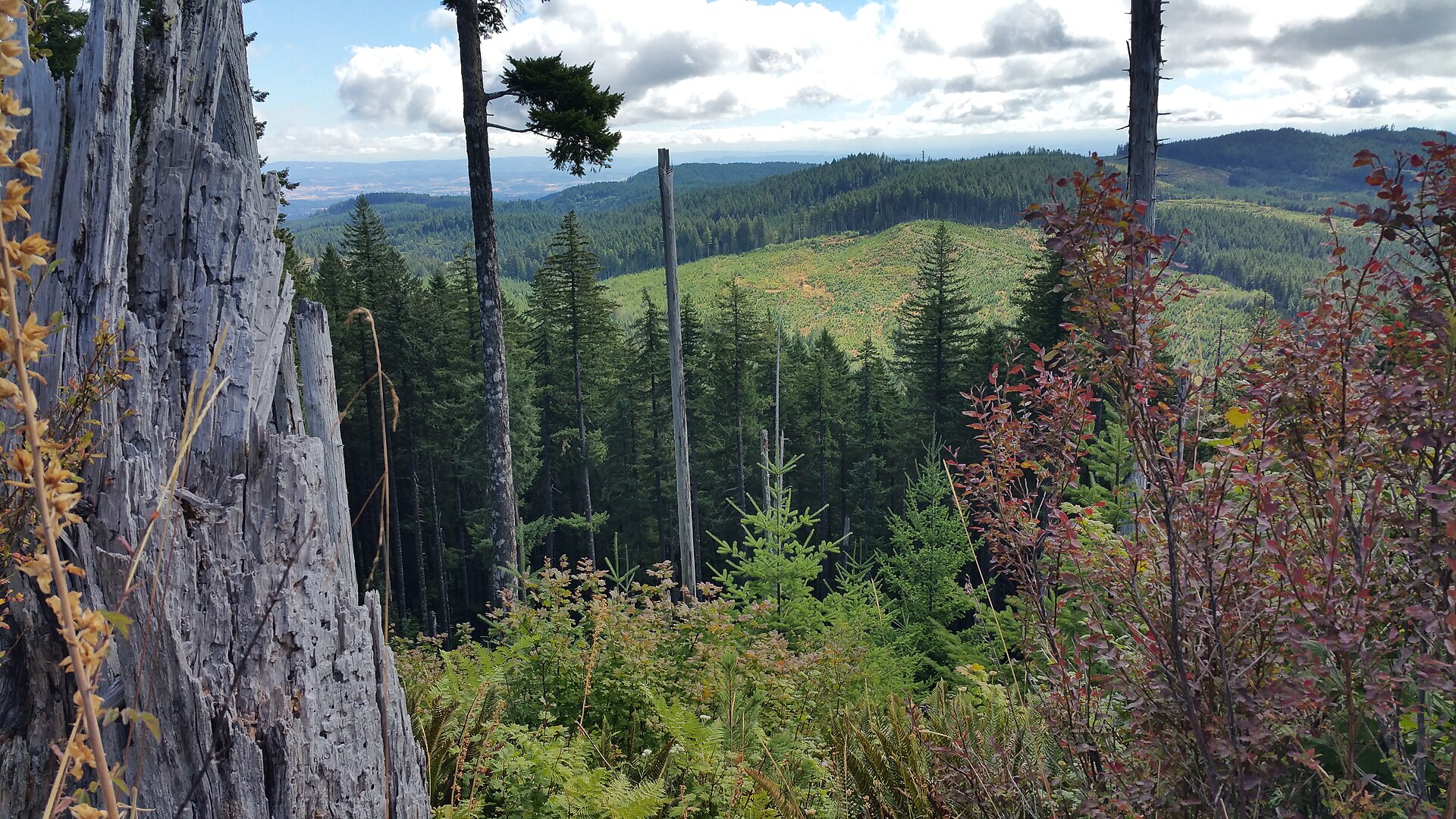 File:Nestucca River National Back Country Byway (24128496384).jpgBLM Oregon & Washington · Public domain · Wikimedia Commons
-
 File:Near Cascade Trail, Skagit Valley (34004878596).jpgRobert Ashworth from Bellingham, WA., USA · CC BY 2.0 · Wikimedia Commons
-
 File:WA 504 3398.jpgChris Light · CC BY-SA 4.0 · Wikimedia Commons
-
 File:WA 410 N panorama 4333.jpgChris Light · CC BY-SA 4.0 · Wikimedia Commons
-
 File:Wind River 2453.jpgChris Light · CC BY-SA 4.0 · Wikimedia Commons
-
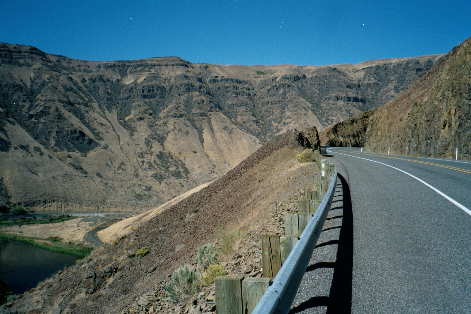 File:Old Yakima Canyon Road (10900523353).jpgRobert Ashworth from Bellingham, WA., USA · CC BY 2.0 · Wikimedia Commons
-
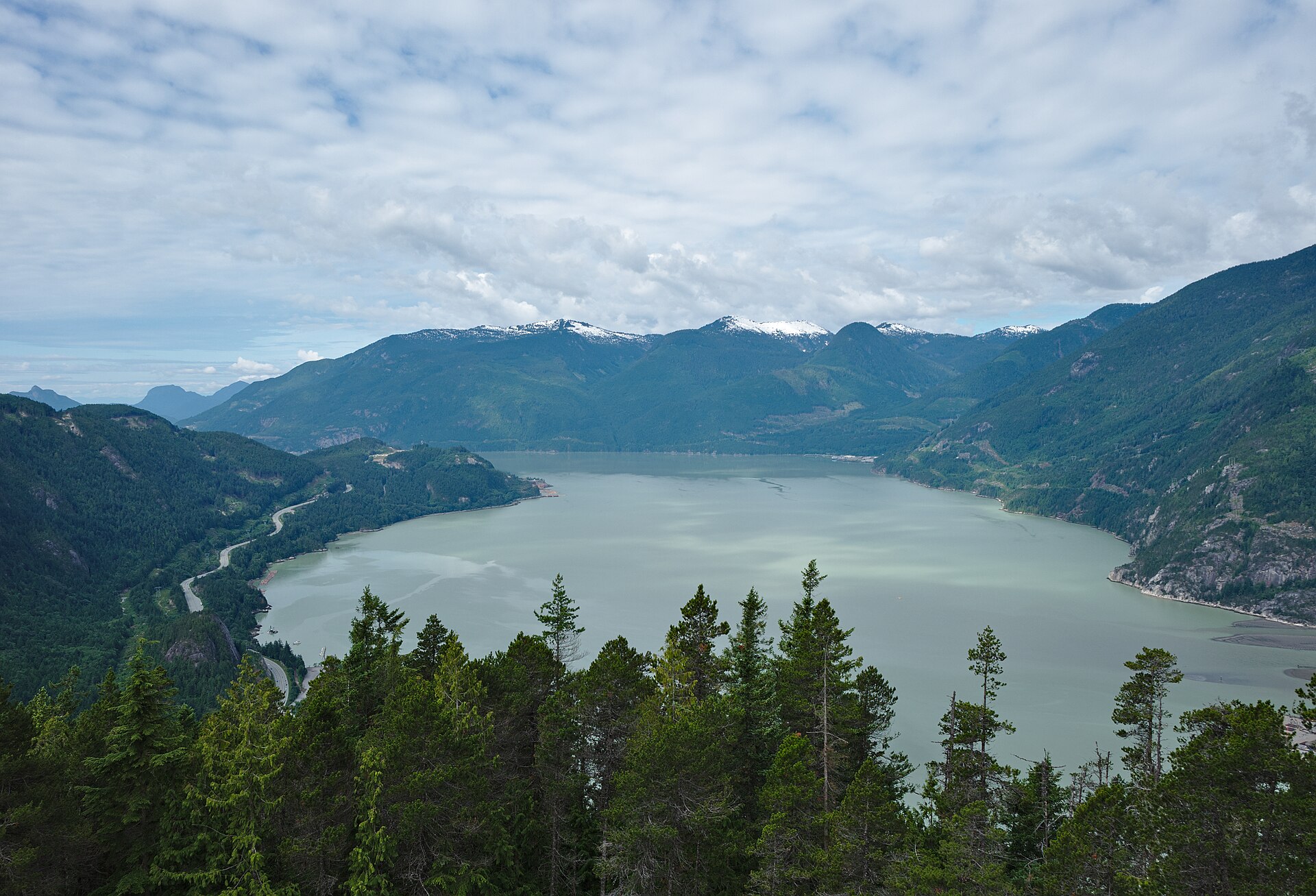 File:Stawamus Chief Provincial Park, BC (DSCF7644).jpgTrougnouf · CC BY 4.0 · Wikimedia Commons
-
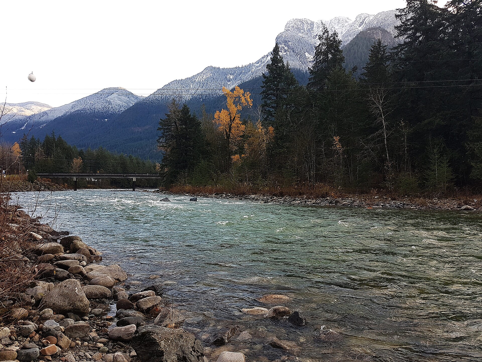 File:BC - Hope - 181110-049-nds (45117248045).jpgwaferboard · CC BY 2.0 · Wikimedia Commons
-
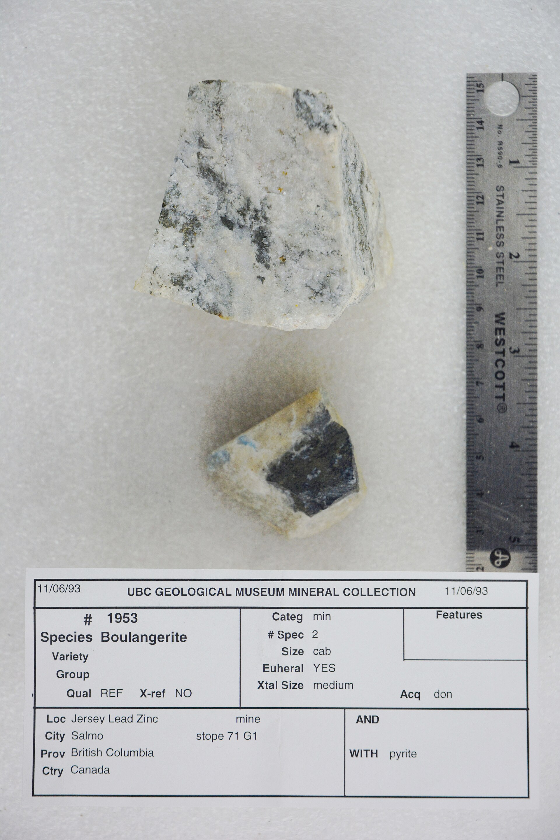 File:Boulangerite with Pyrite (47859613922).jpgPacific Museum of Earth from Canada · CC BY-SA 2.0 · Wikimedia Commons
-
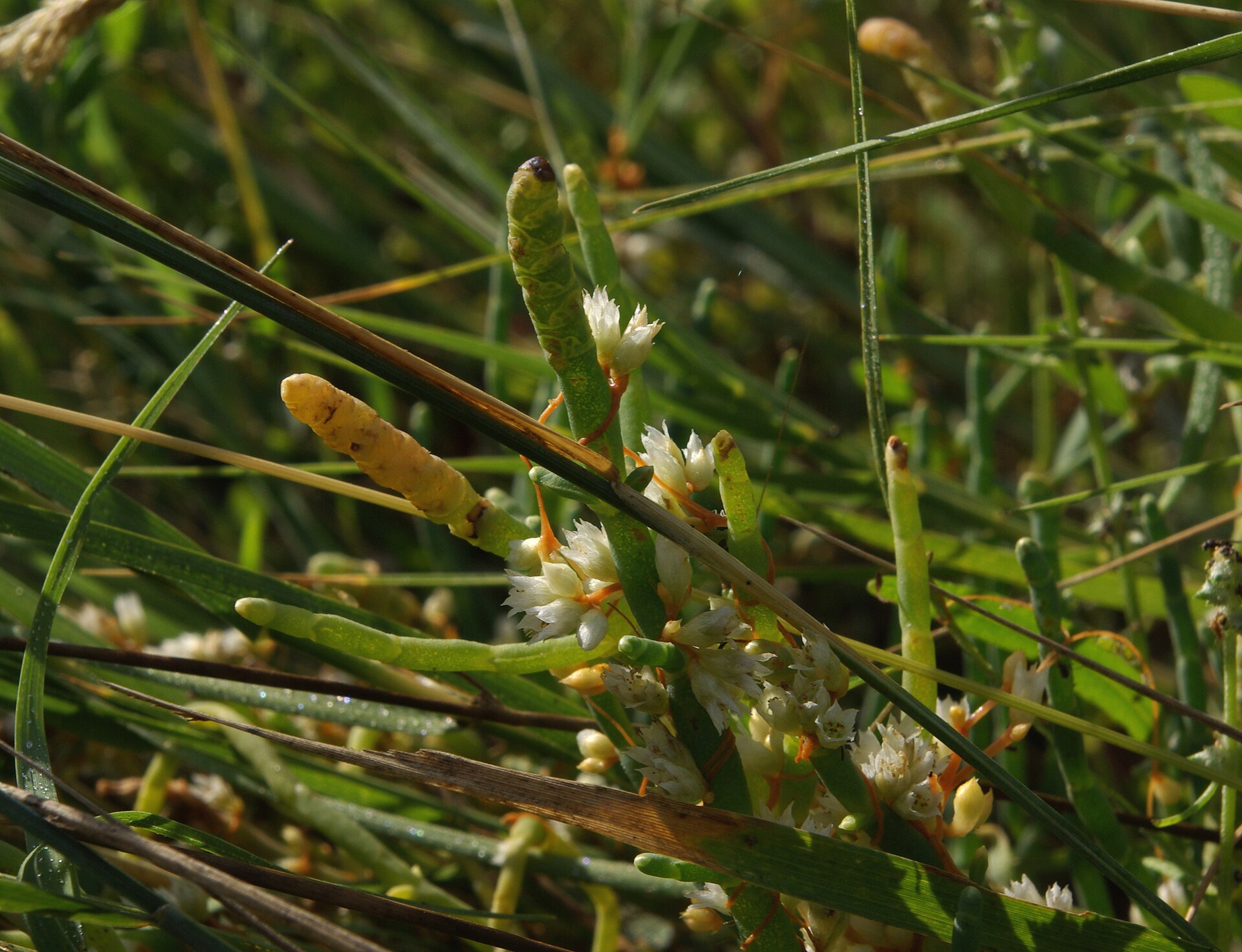 File:Cuscuta pacifica P5435 v1.JPGDoug Murphy · CC BY-SA 3.0 · Wikimedia Commons
-
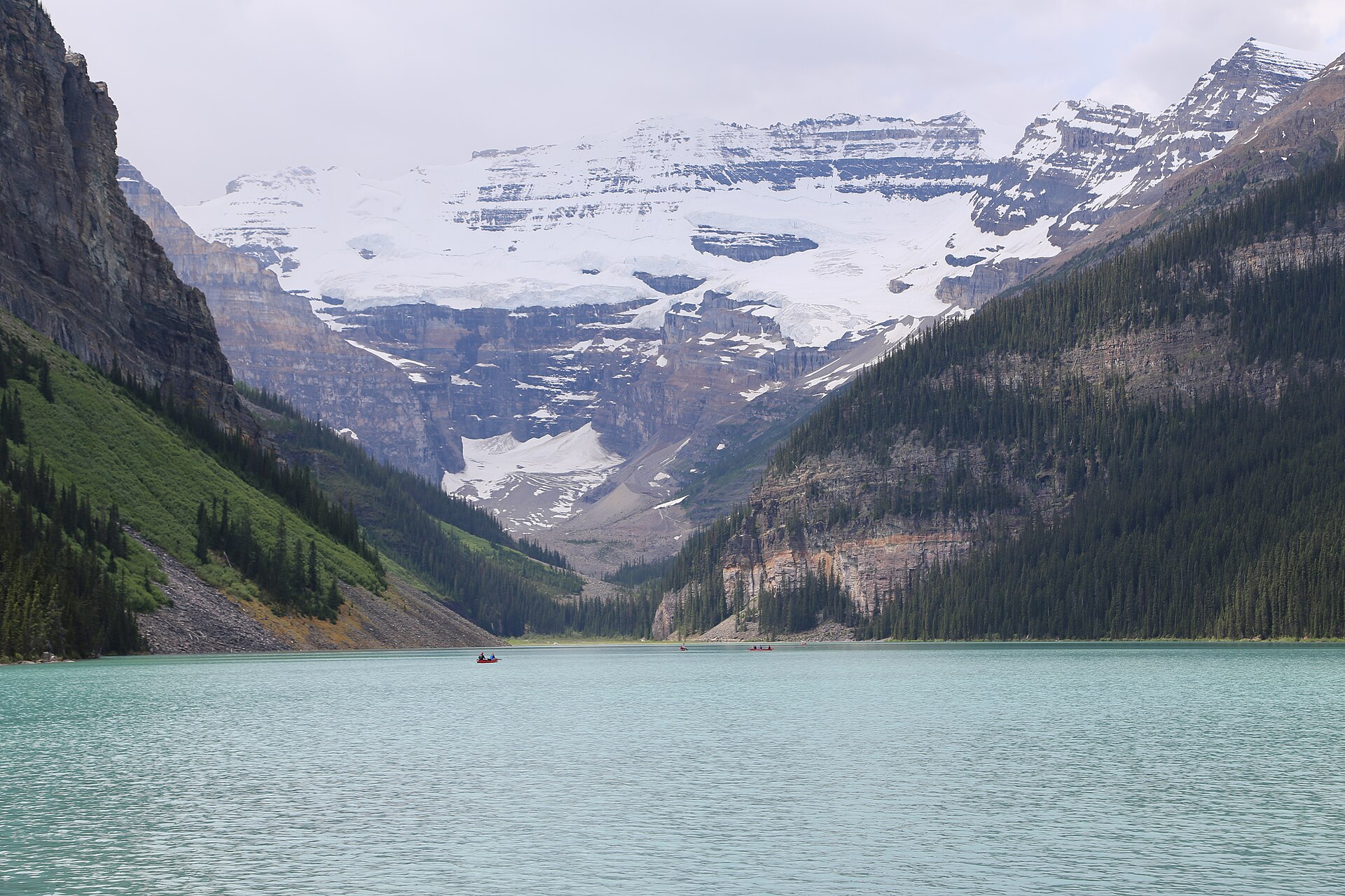 File:Lake Louise 2015.jpgRejean Hurtubise · CC BY-SA 4.0 · Wikimedia Commons
-
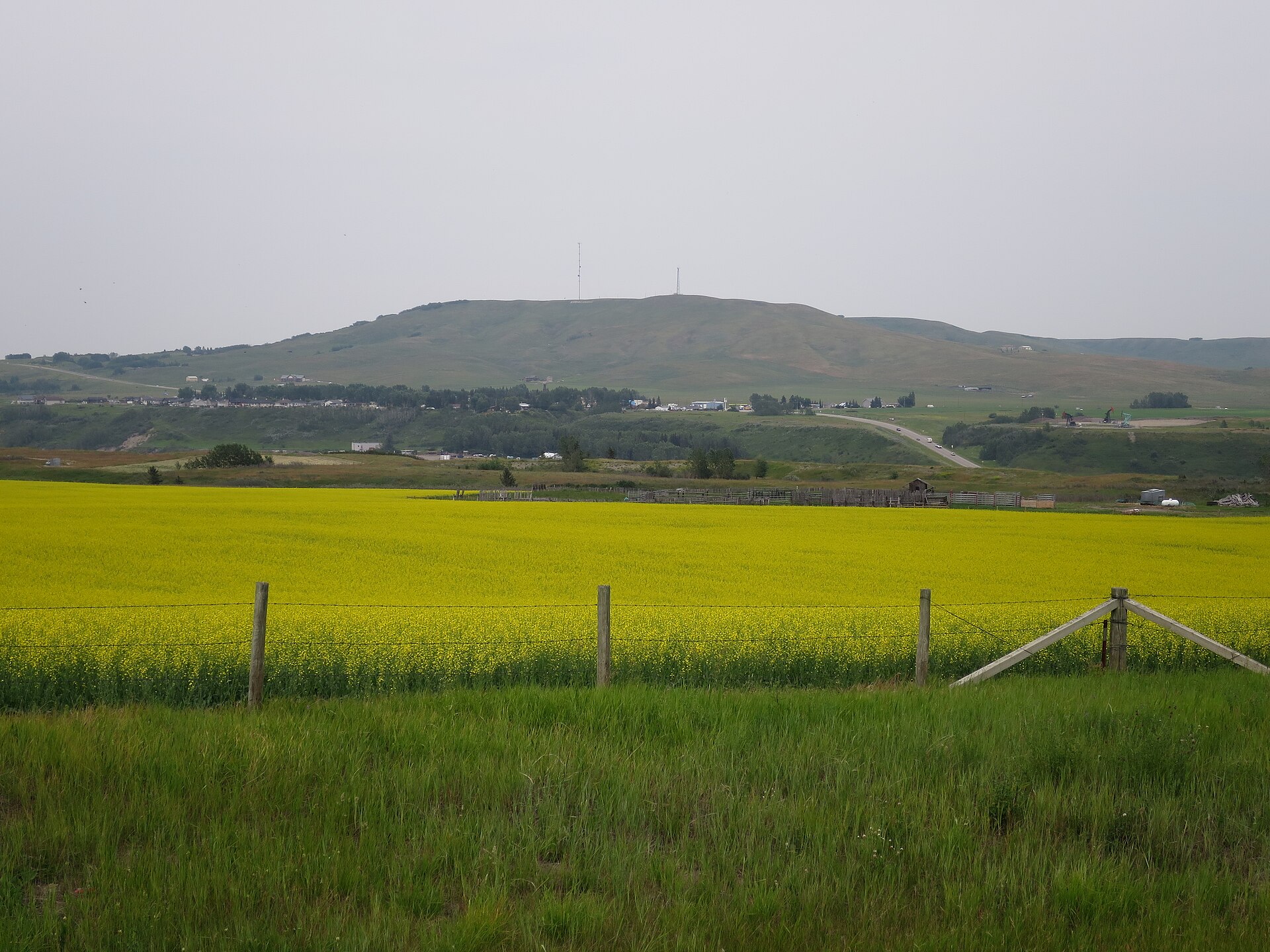 File:Longview across Highwood River.jpegIngo Schwarze · CC BY 4.0 · Wikimedia Commons
-
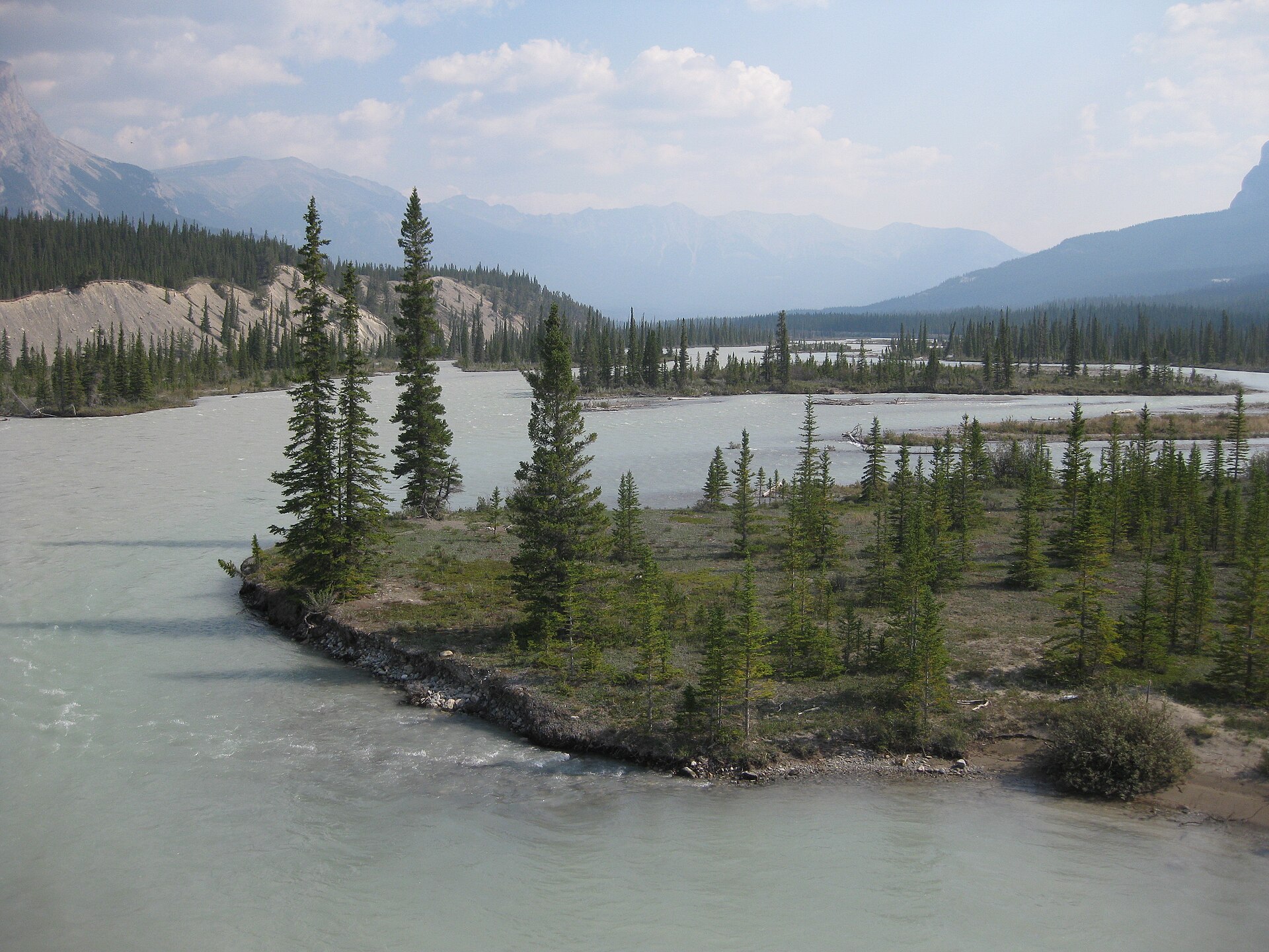 File:Saskatchewan River Crossing.jpgPhil Whitehouse · CC BY 2.0 · Wikimedia Commons
-
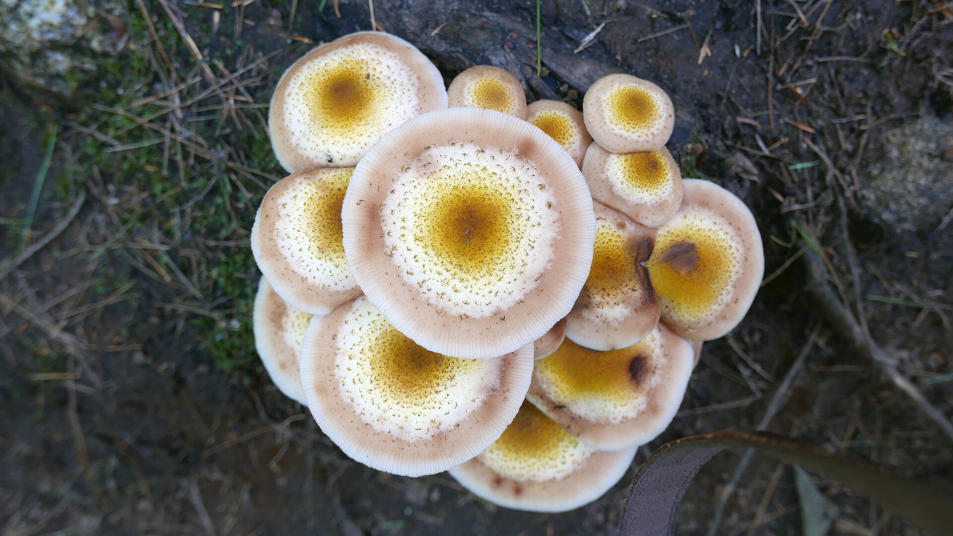 File:DPearl Algonquin Park.jpgDavidPearl1 · CC BY 4.0 · Wikimedia Commons
-
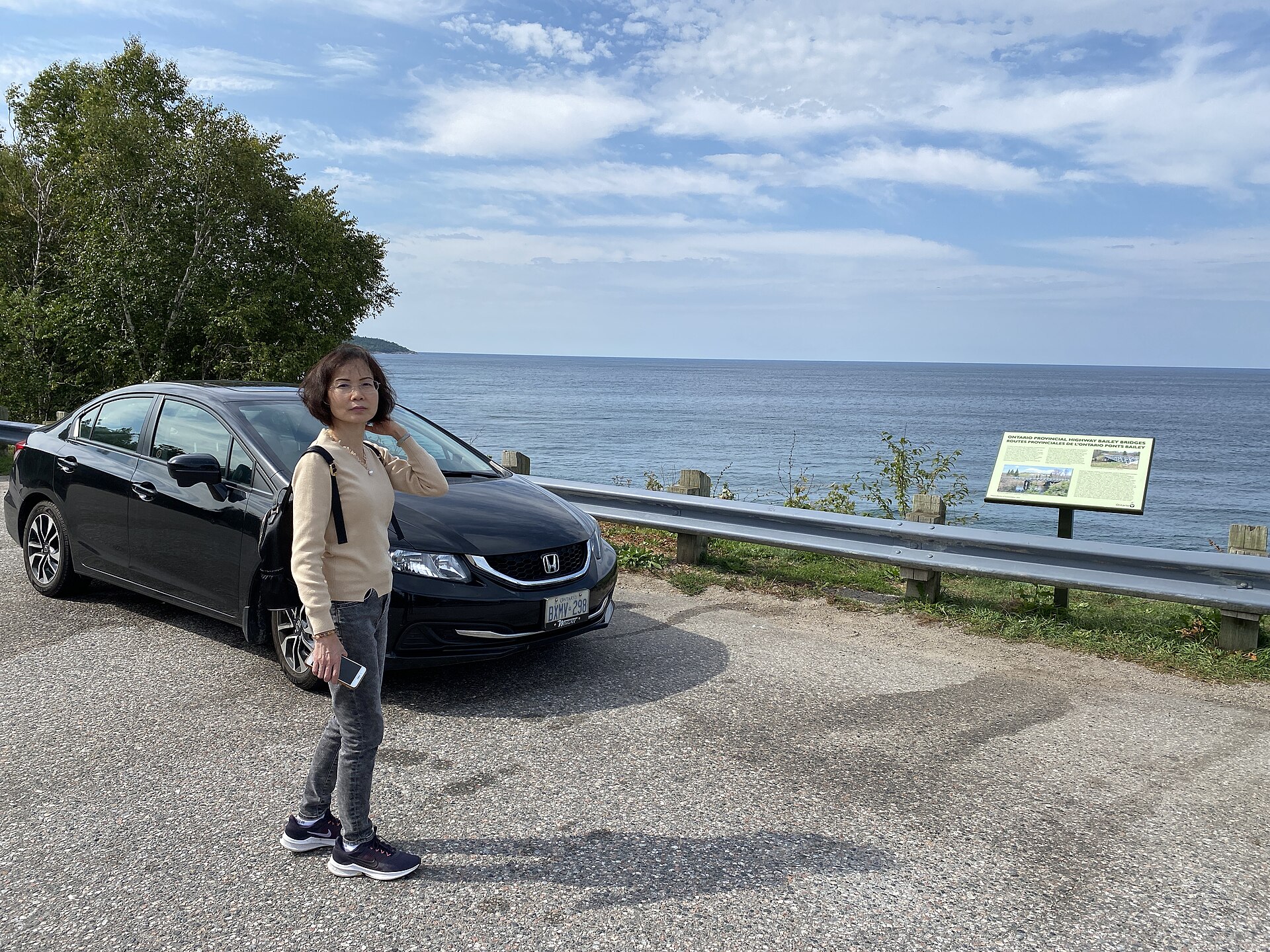 File:Alona Bay Roadstop (53207370065).jpgWabbitWanderer from London, Canada · CC BY-SA 2.0 · Wikimedia Commons
-
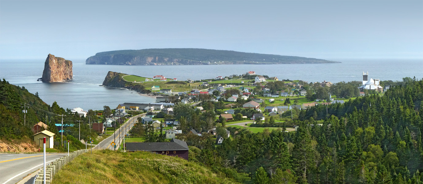 File:QC Gaspesie Perce1 tango7174.jpgTango7174 · CC BY-SA 4.0 · Wikimedia Commons
-
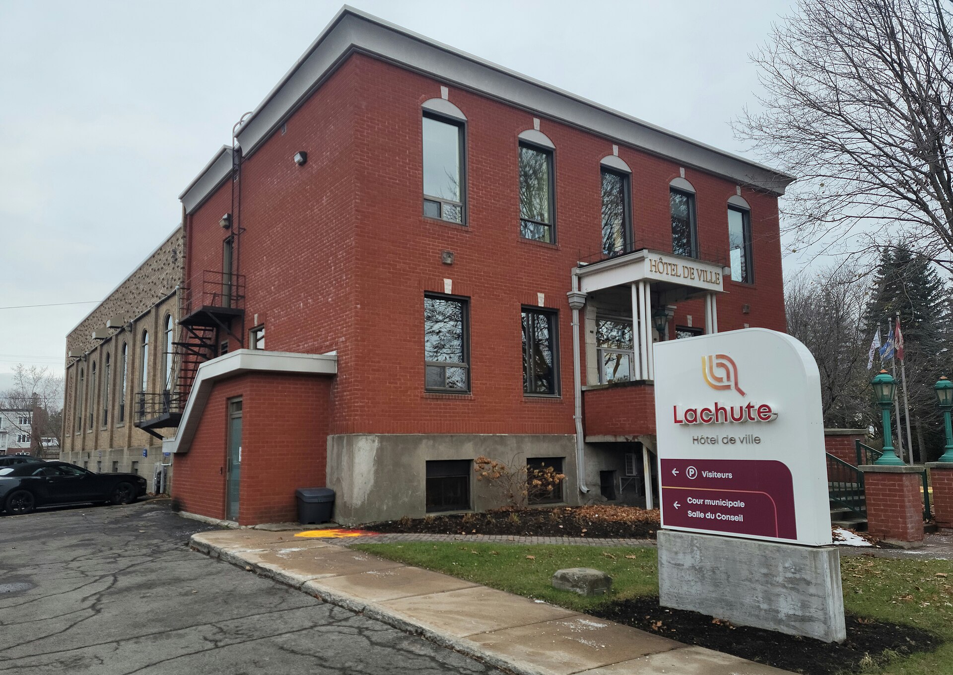 File:Lachute (Québec)-Hôtel de ville-2023-11-10.jpgVeillg1 · CC0 · Wikimedia Commons
-
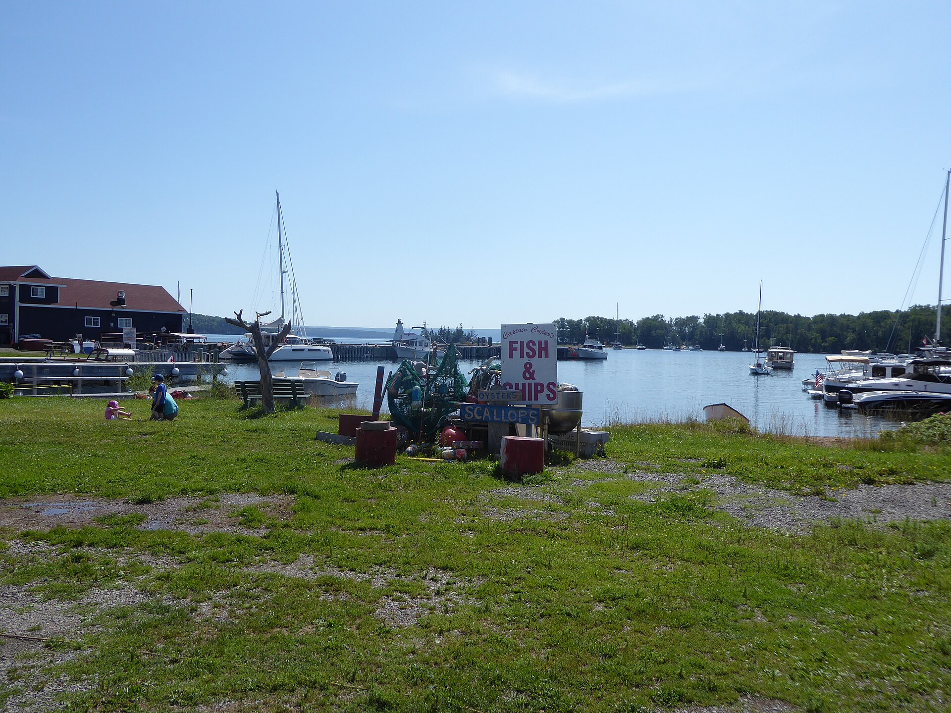 File:Baddeck Waterfront (48651321563).jpgWabbitWanderer from London, Canada · CC BY-SA 2.0 · Wikimedia Commons
-
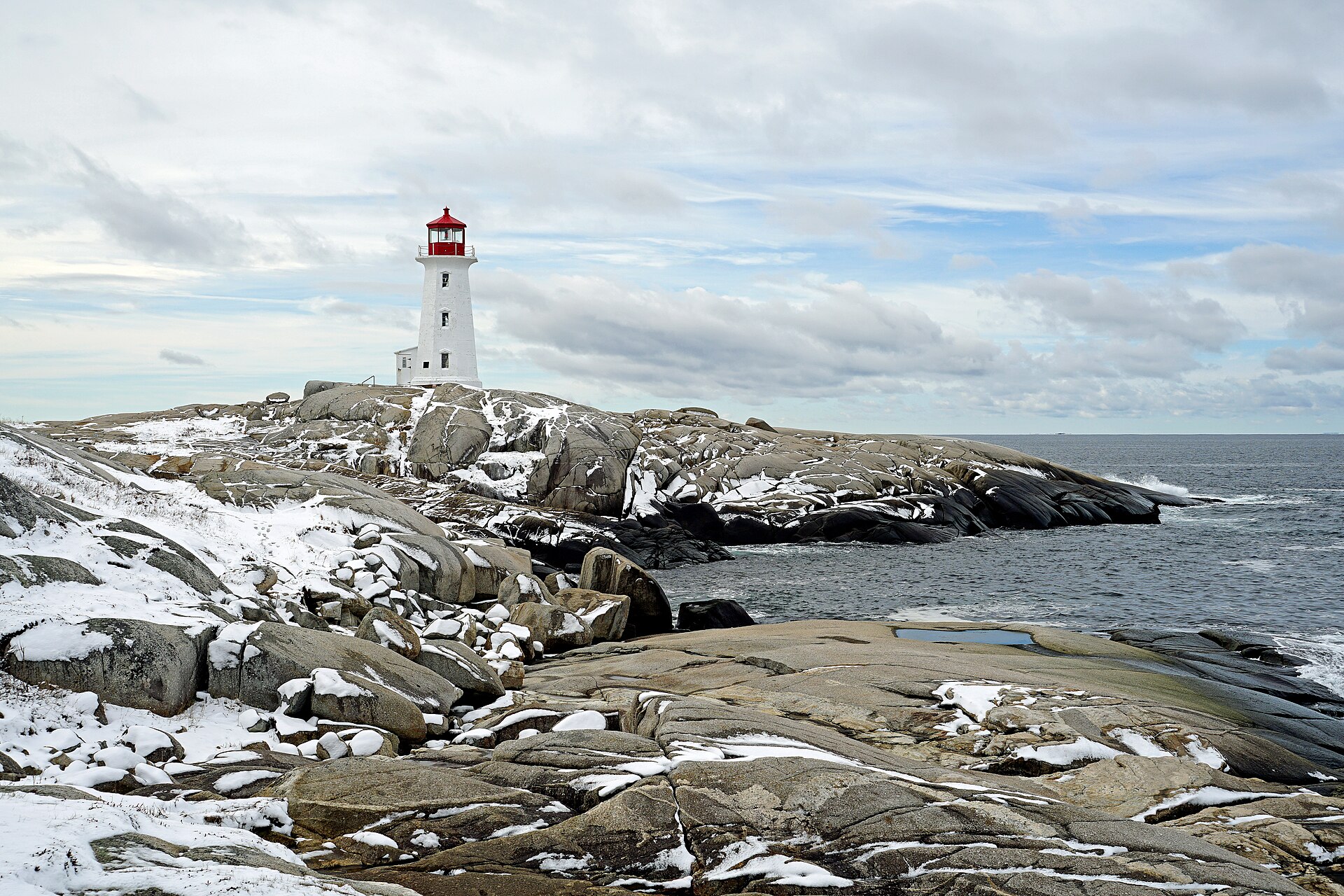 File:Lighthouse NS-00315 - Peggys Cove Lighthouse (25642047121).jpgDennis G. Jarvis · CC BY-SA 2.0 · Wikimedia Commons
-
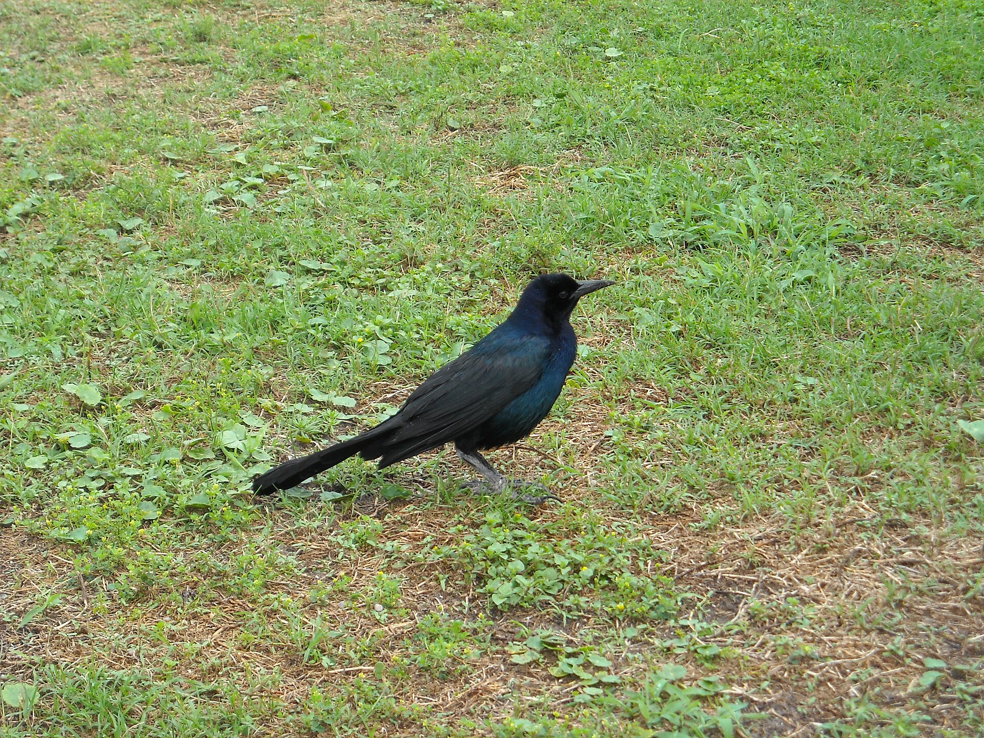 File:Boat-tailed Grackle - Volusia County Florida.jpgVox Rationis · CC BY-SA 3.0 · Wikimedia Commons
-
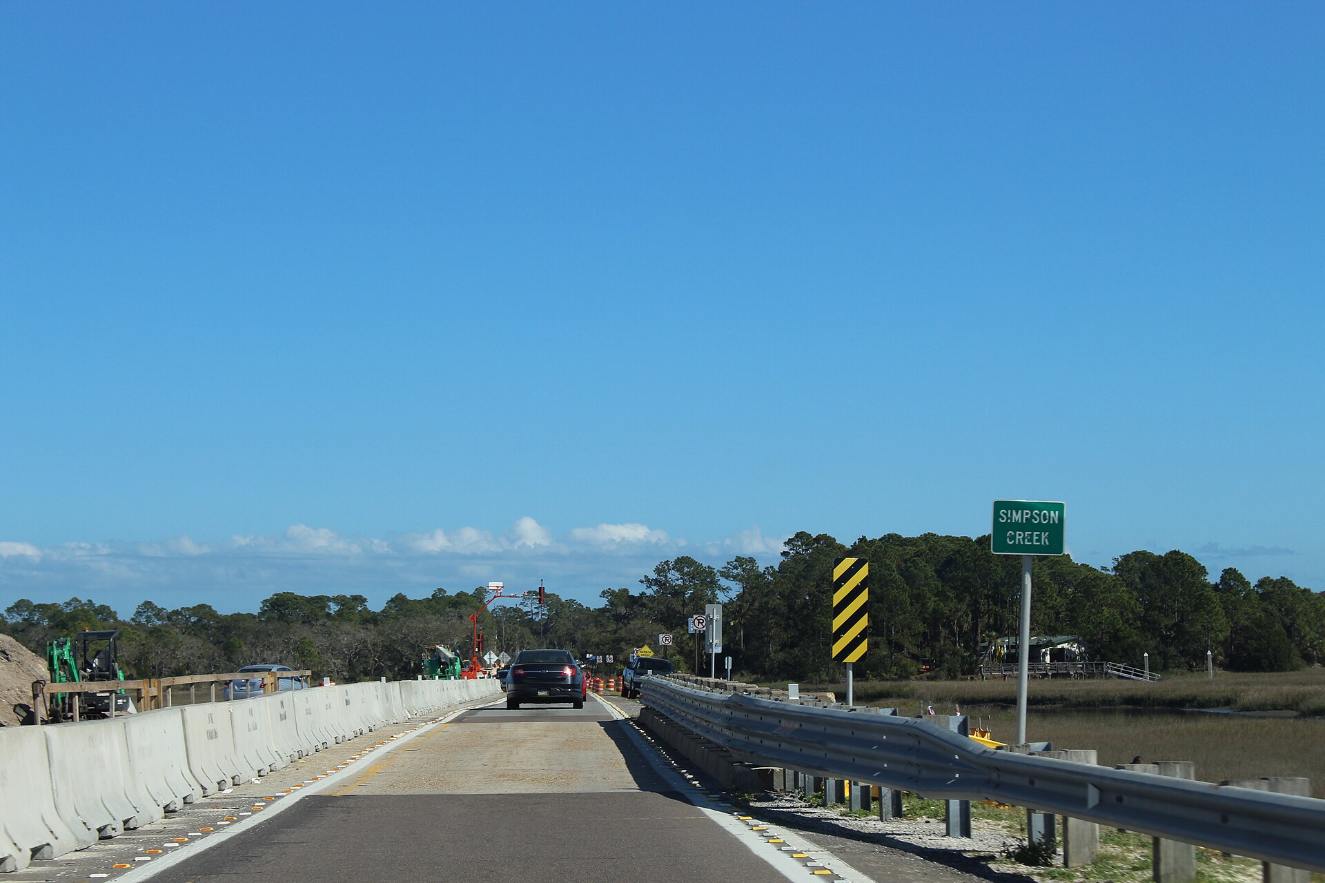 File:A1A SB on Simpson Creek bridge.jpgMichael Rivera · CC BY-SA 4.0 · Wikimedia Commons
-
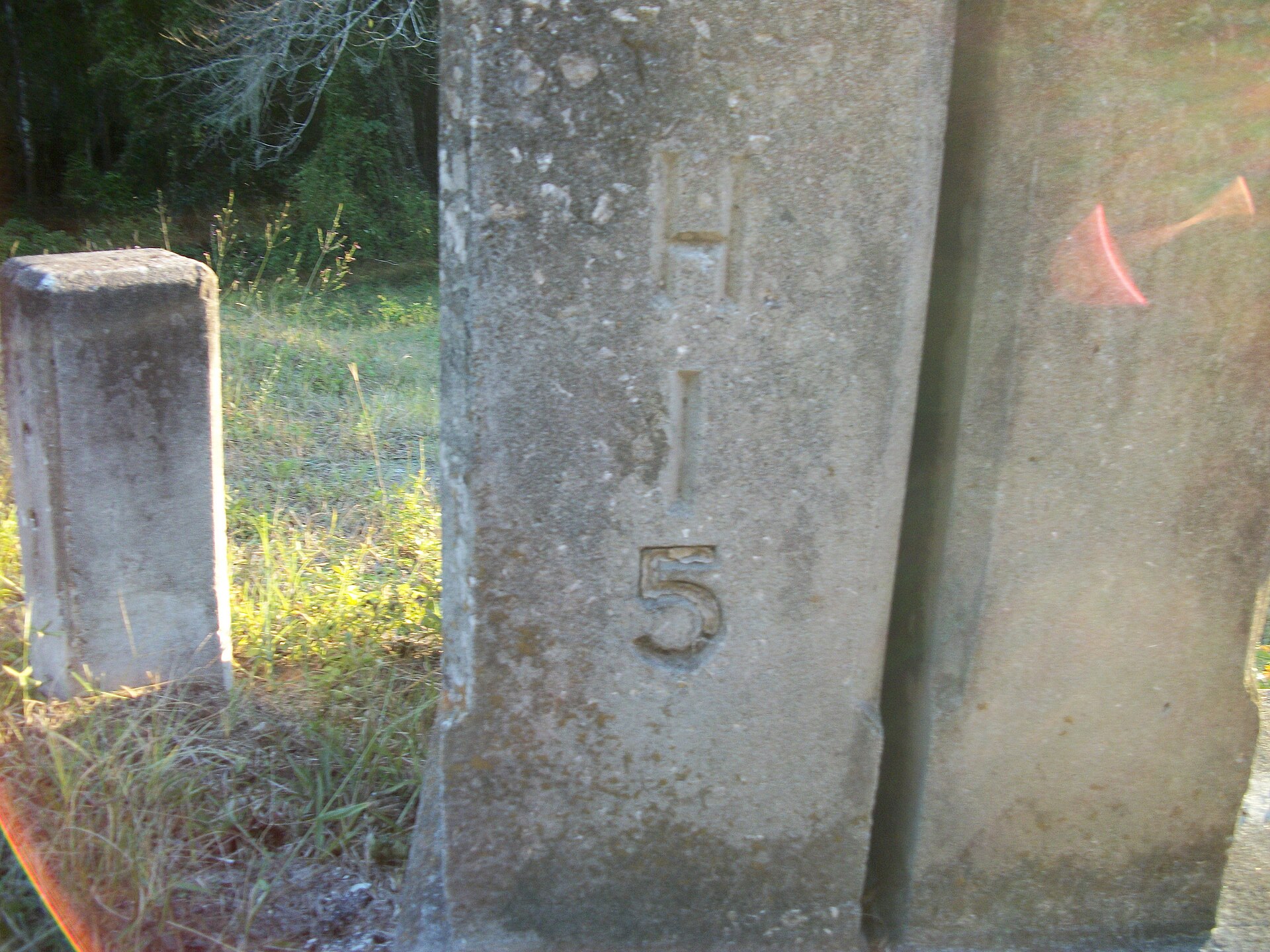 File:Hernando-Sumter CR 476 Bridge; Cornerstone Hi-5.JPGDanTD · CC BY-SA 3.0 · Wikimedia Commons
-
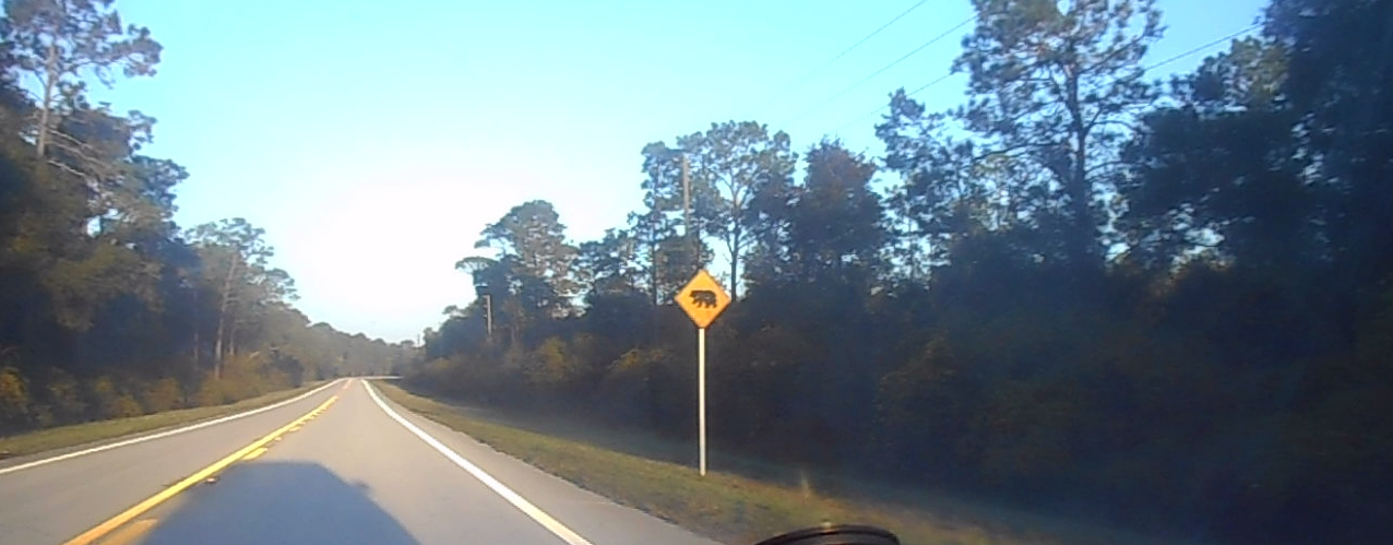 File:NB FL SR 19; Bear Crossing near Salt Springs.jpgDanTD · CC BY-SA 4.0 · Wikimedia Commons
-
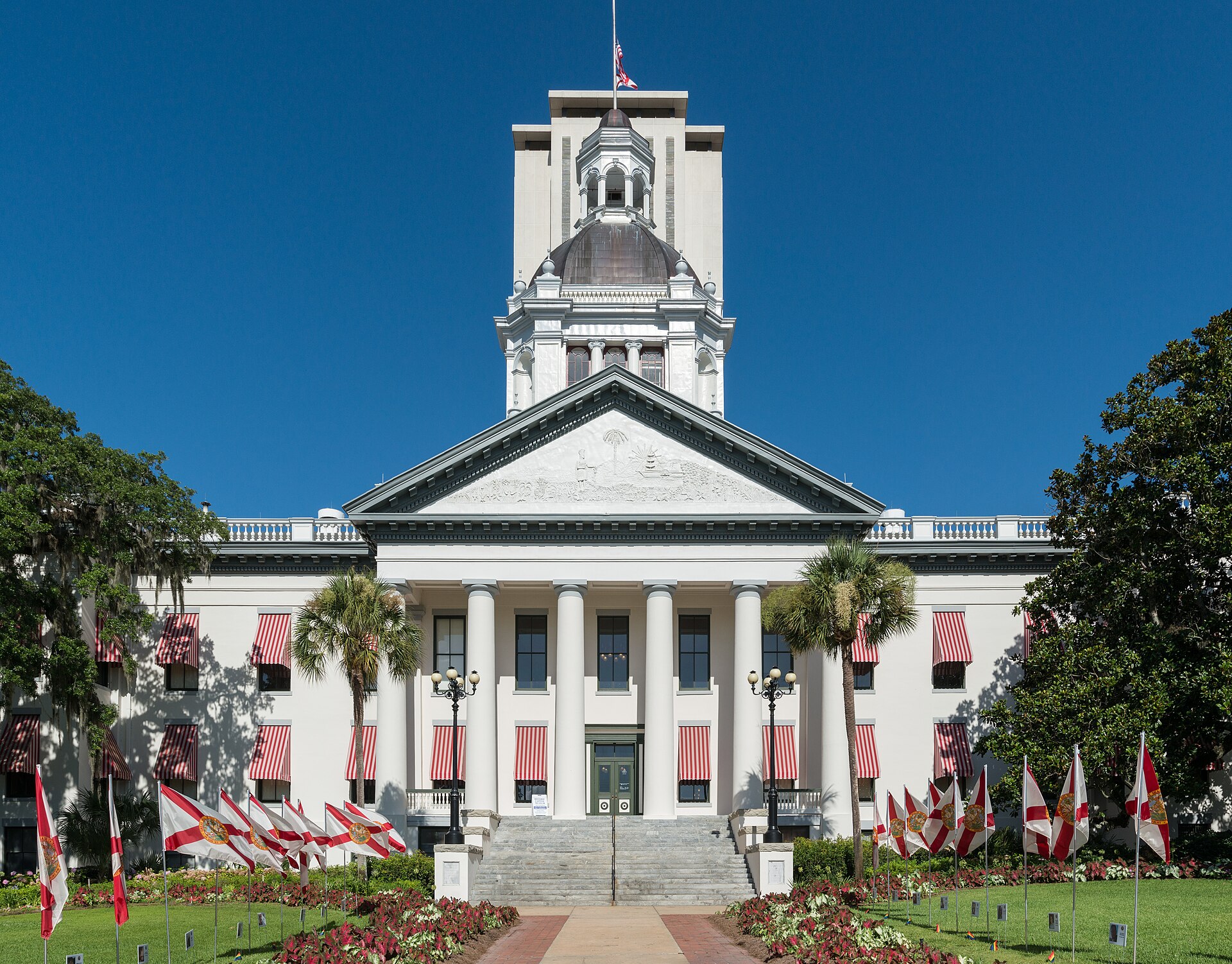 File:Old Florida State Capitol, Tallahassee, East view 20160711 1.jpgDXR · CC BY-SA 4.0 · Wikimedia Commons
-
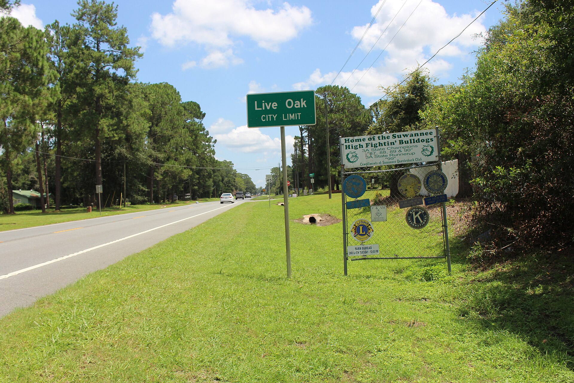 File:Live Oak city limit, SR 51 NE.jpgMichael Rivera · CC BY-SA 4.0 · Wikimedia Commons
-
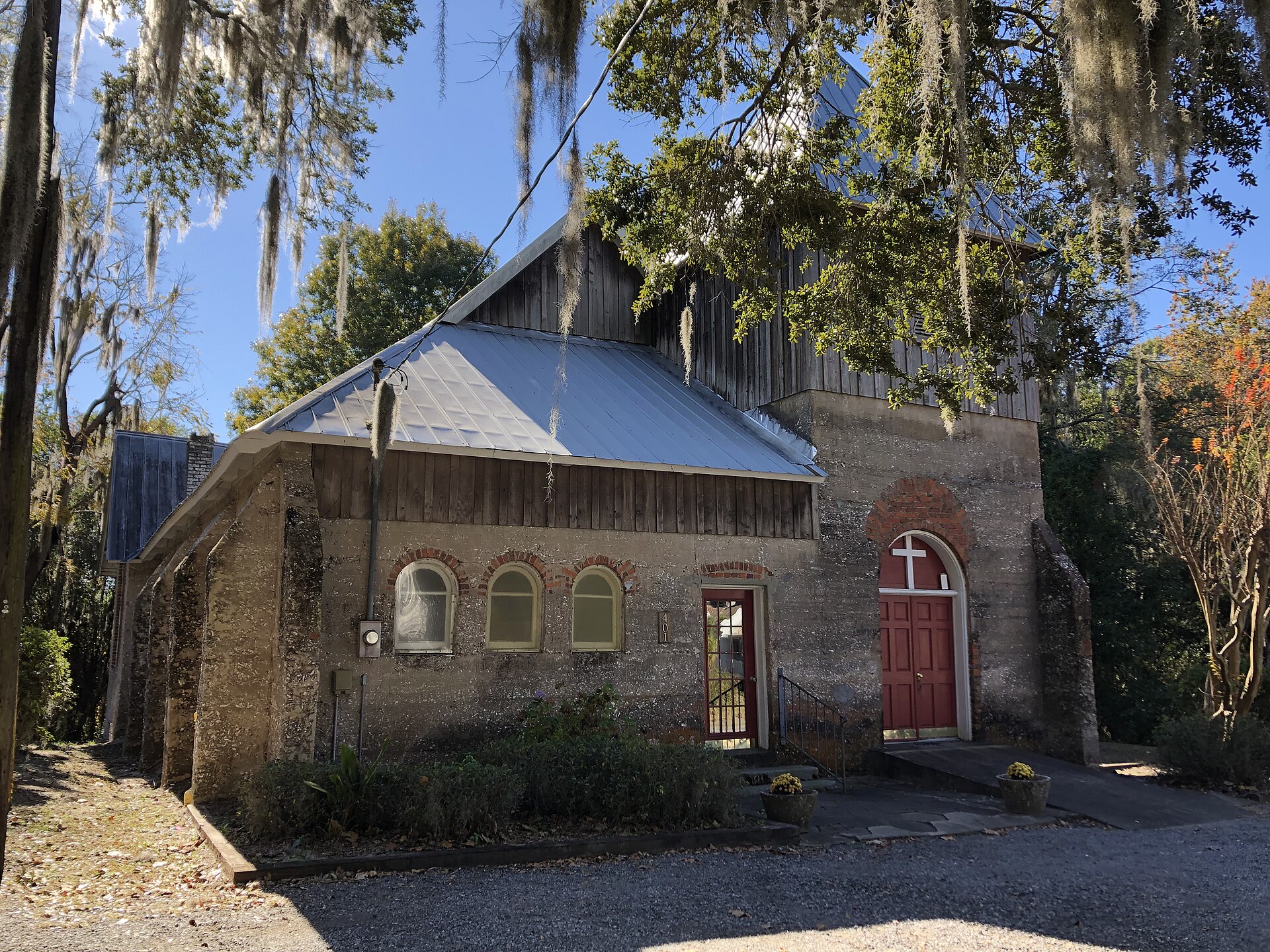 File:Episcopal Church Darien.jpgCarmenleidel · CC BY-SA 4.0 · Wikimedia Commons
-
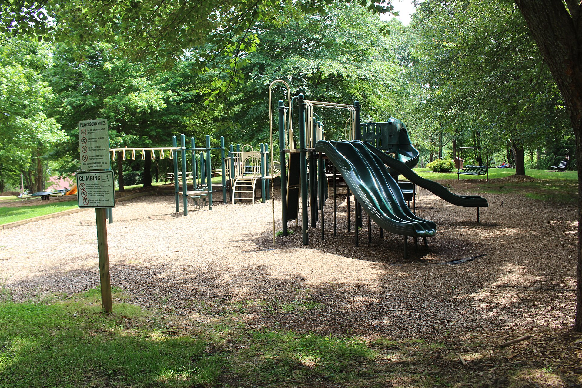 File:Playground, Unicoi Hill Park.jpgMichael Rivera · CC BY-SA 4.0 · Wikimedia Commons
-
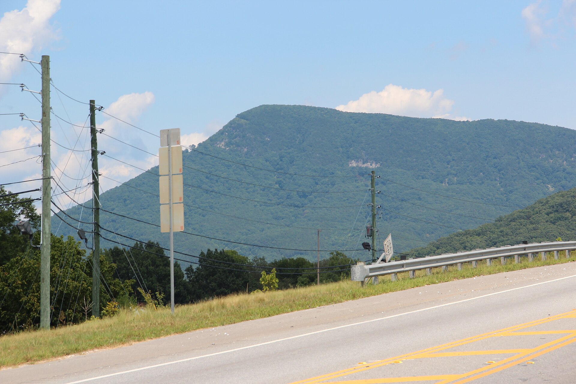 File:Fort Mountain - panoramio.jpgThomson M · CC BY 3.0 · Wikimedia Commons
-
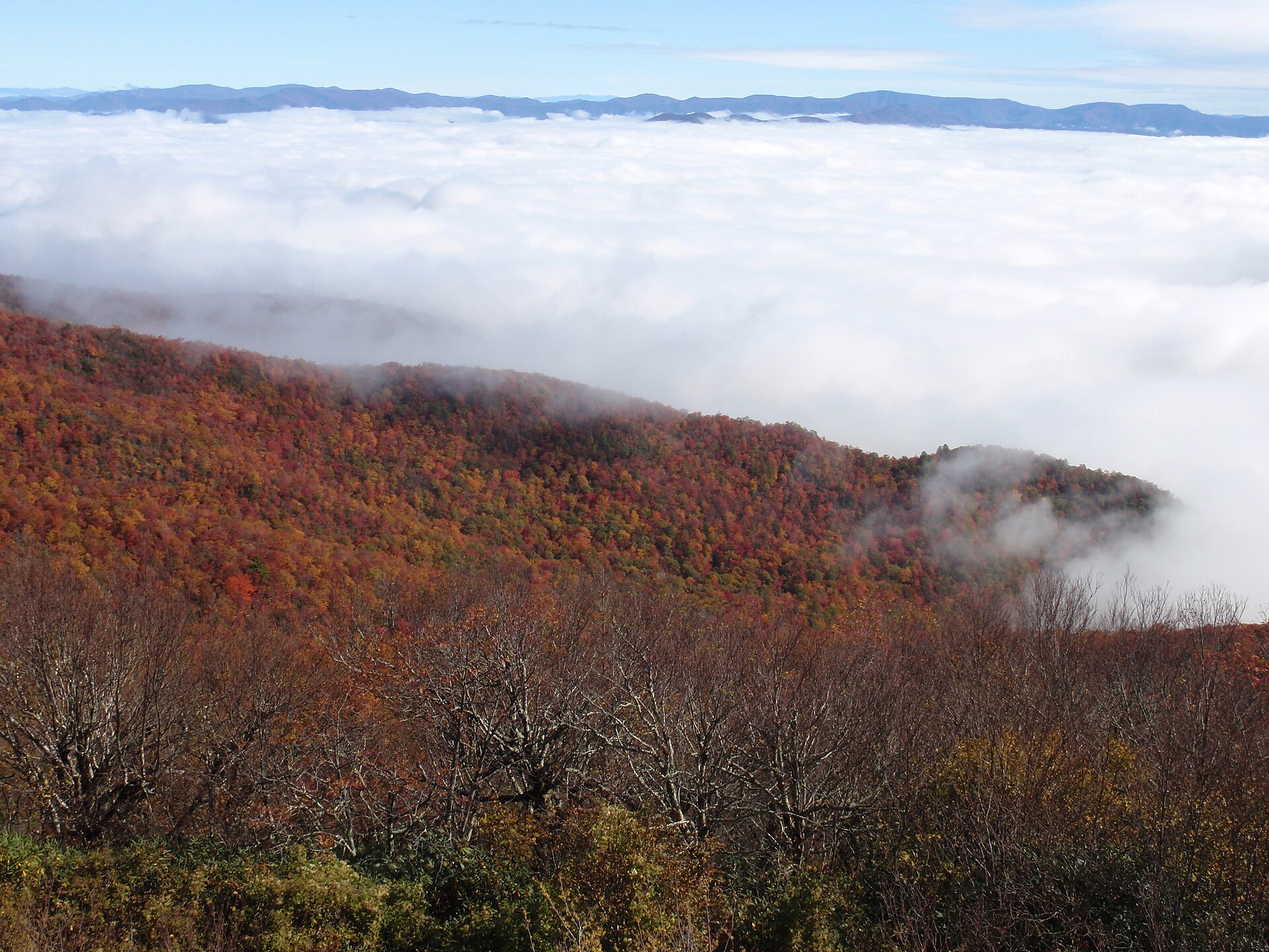 File:View from Brasstown Bald (6241055119).jpgChattOconeeNF · CC BY 2.0 · Wikimedia Commons
-
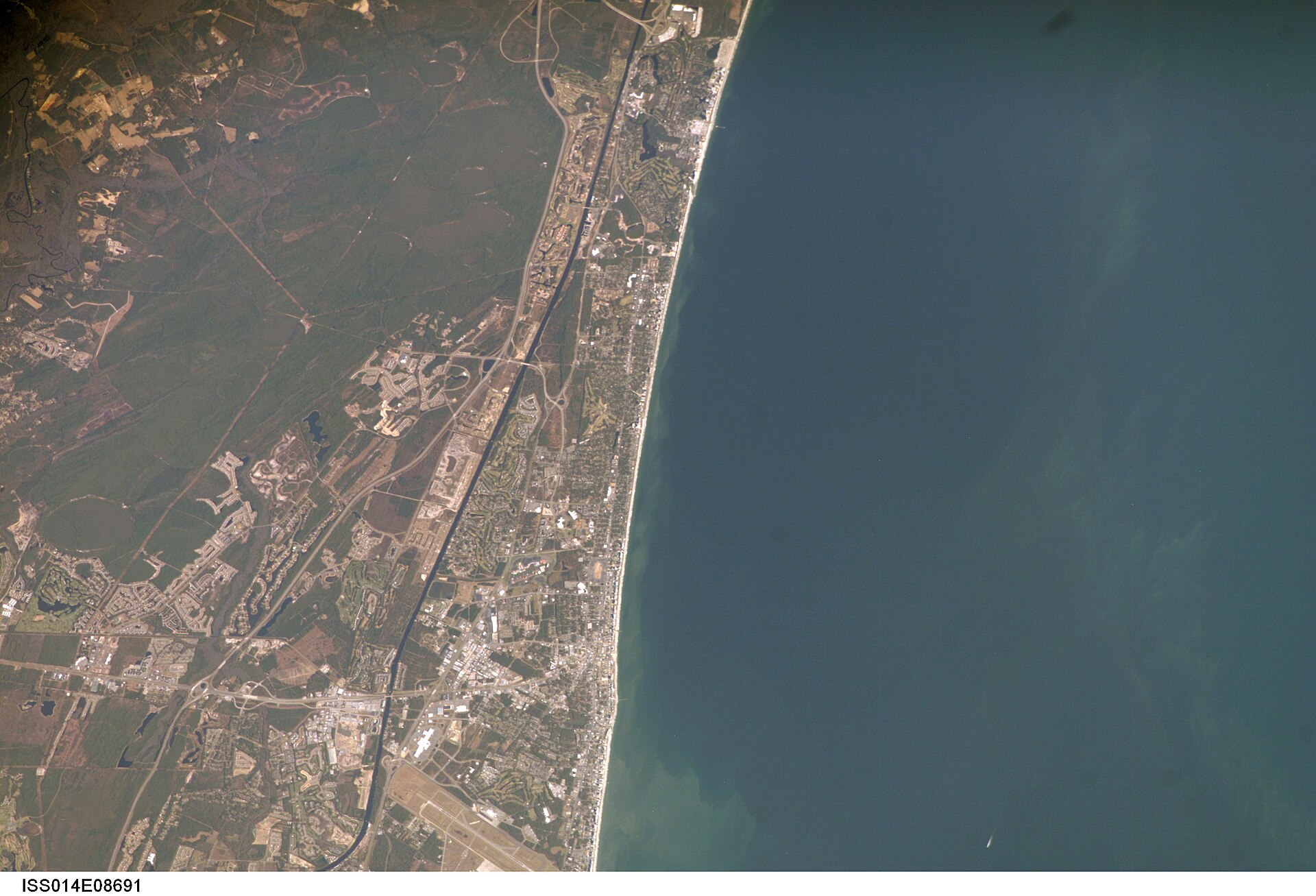 File:ISS014-E-8691 - View of South Carolina.jpgEarth Science and Remote Sensing Unit, Lyndon B. Johnson Space Center · Public domain · Wikimedia Commons
-
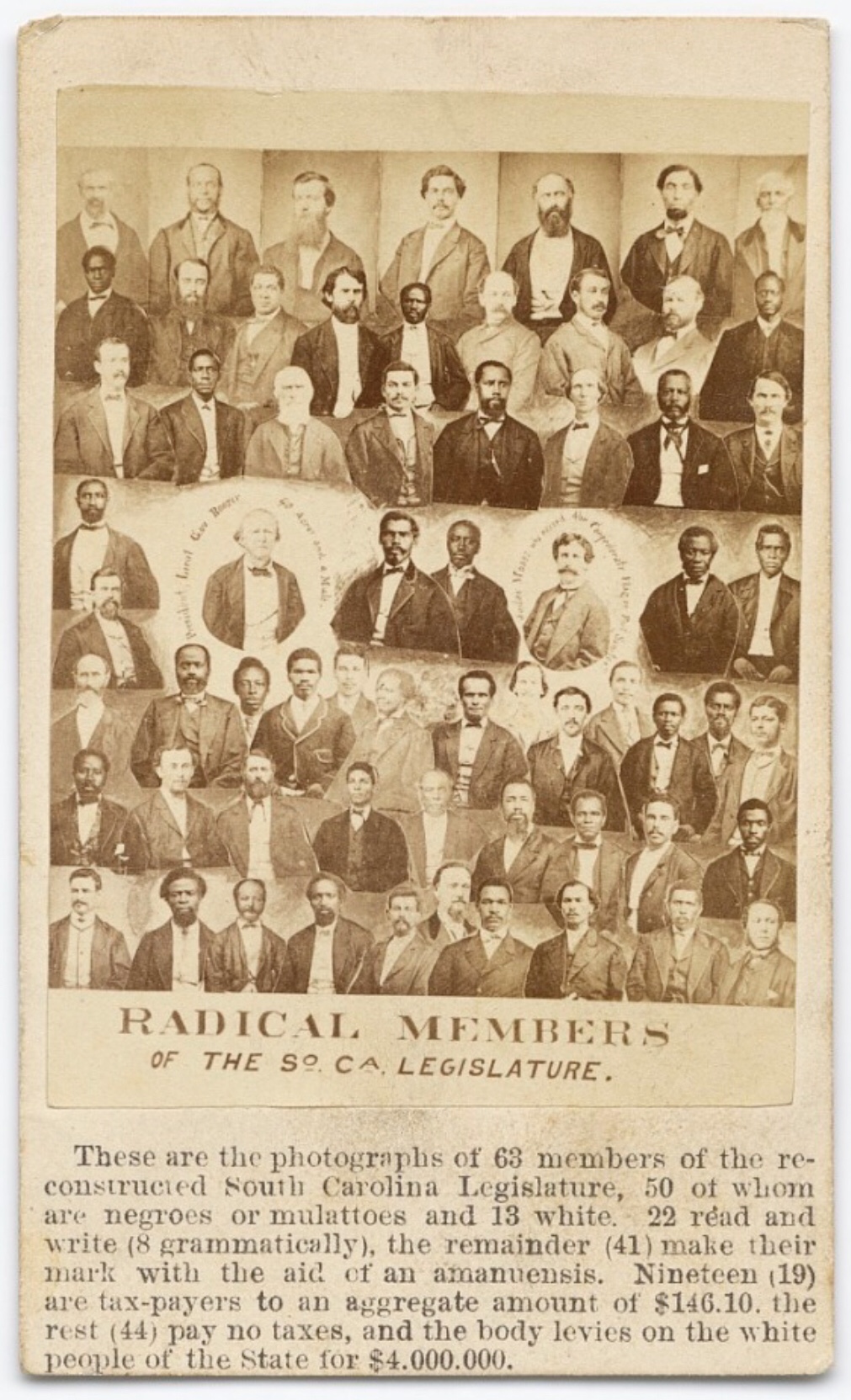 File:Radical Republicans in the South Carolina Legislature.jpgUnknown authorUnknown author · Public domain · Wikimedia Commons
-
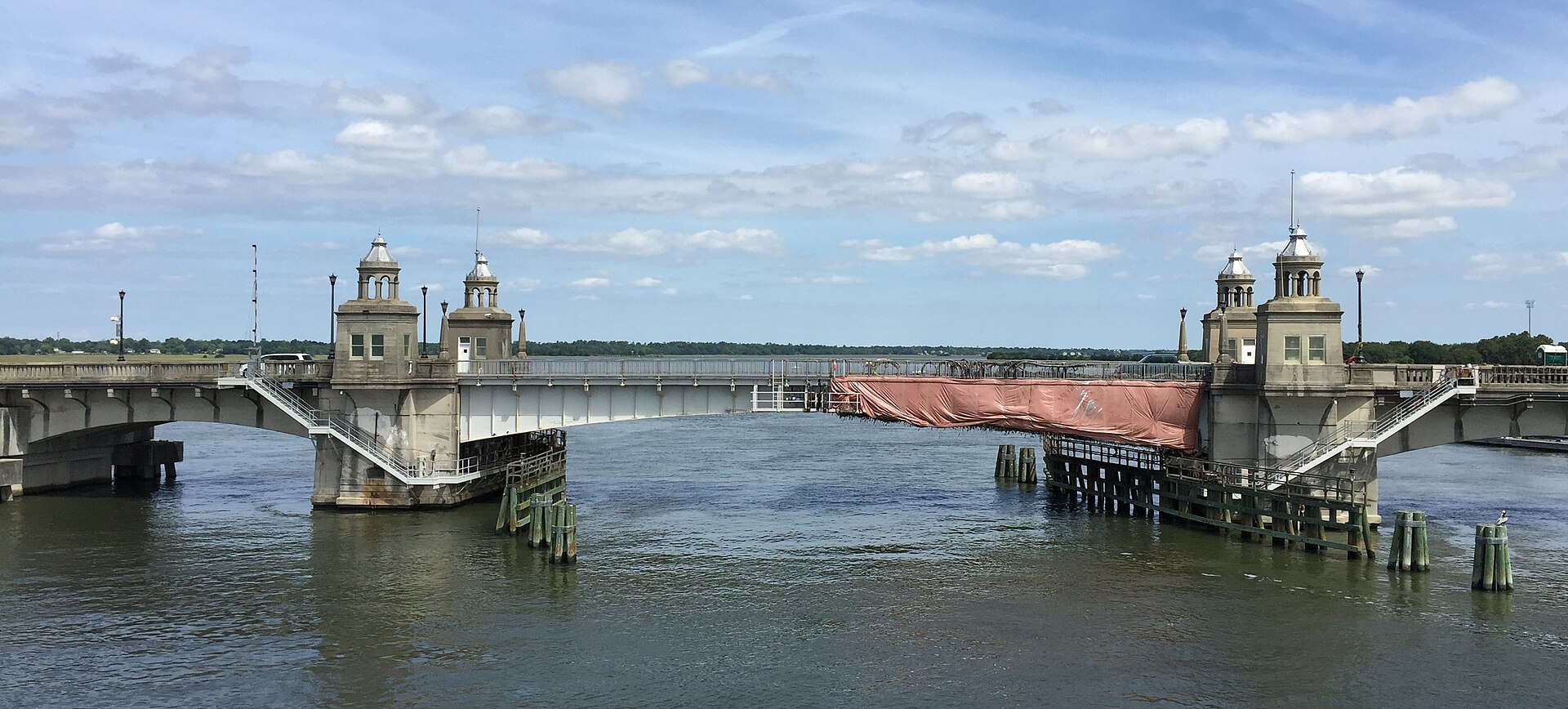 File:Ashley River Memorial Bridge, Charleston, South Carolina.jpgProfReader · CC BY-SA 4.0 · Wikimedia Commons
-
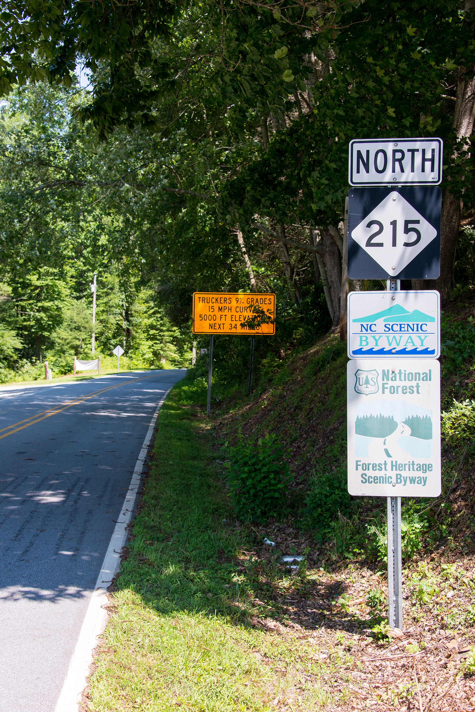 File:NC215North.jpgWashuotaku · CC BY-SA 3.0 · Wikimedia Commons
-
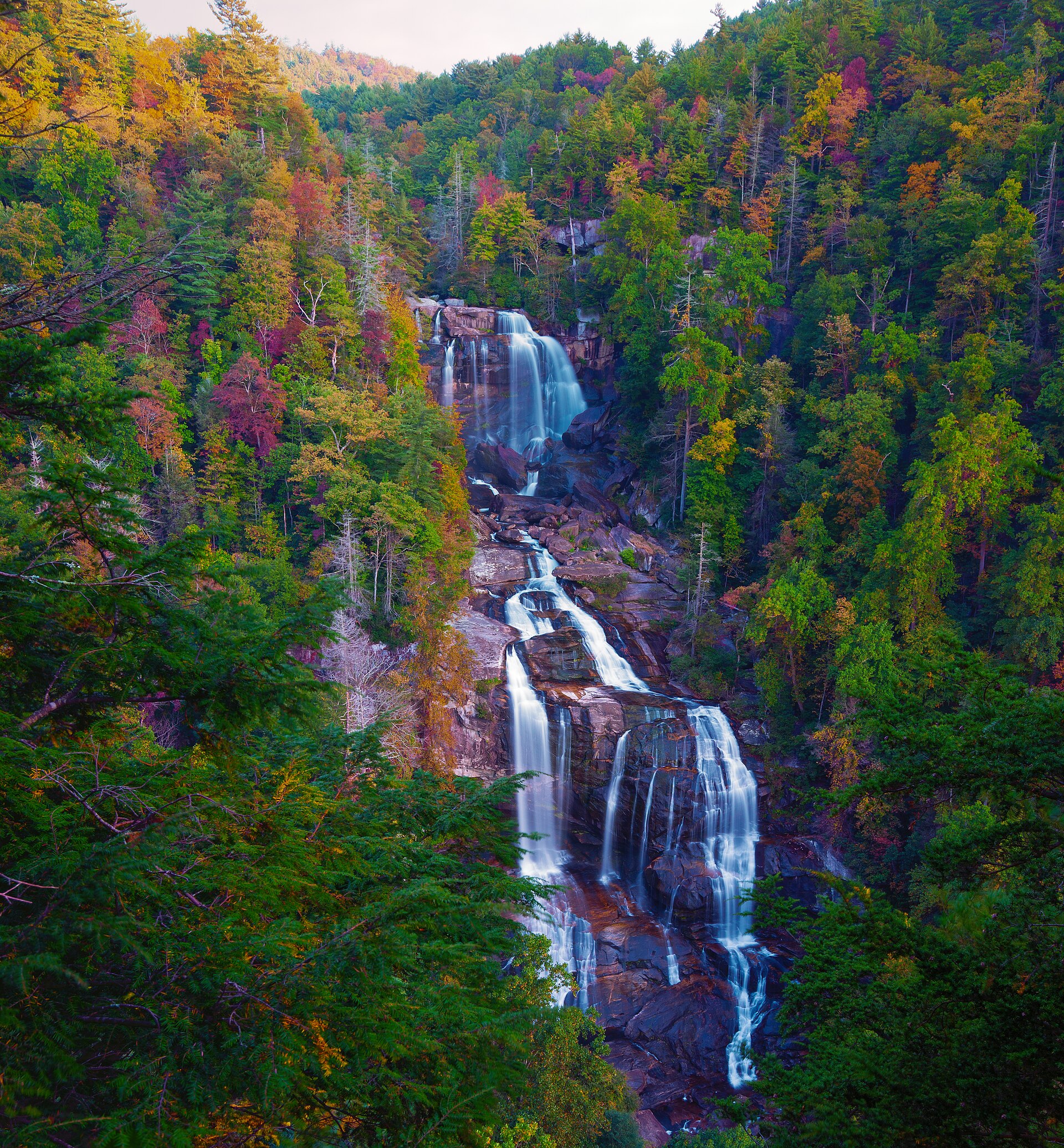 File:Distance view of Whitewater Falls - panoramio.jpgWill Thomas · CC BY-SA 3.0 · Wikimedia Commons
-
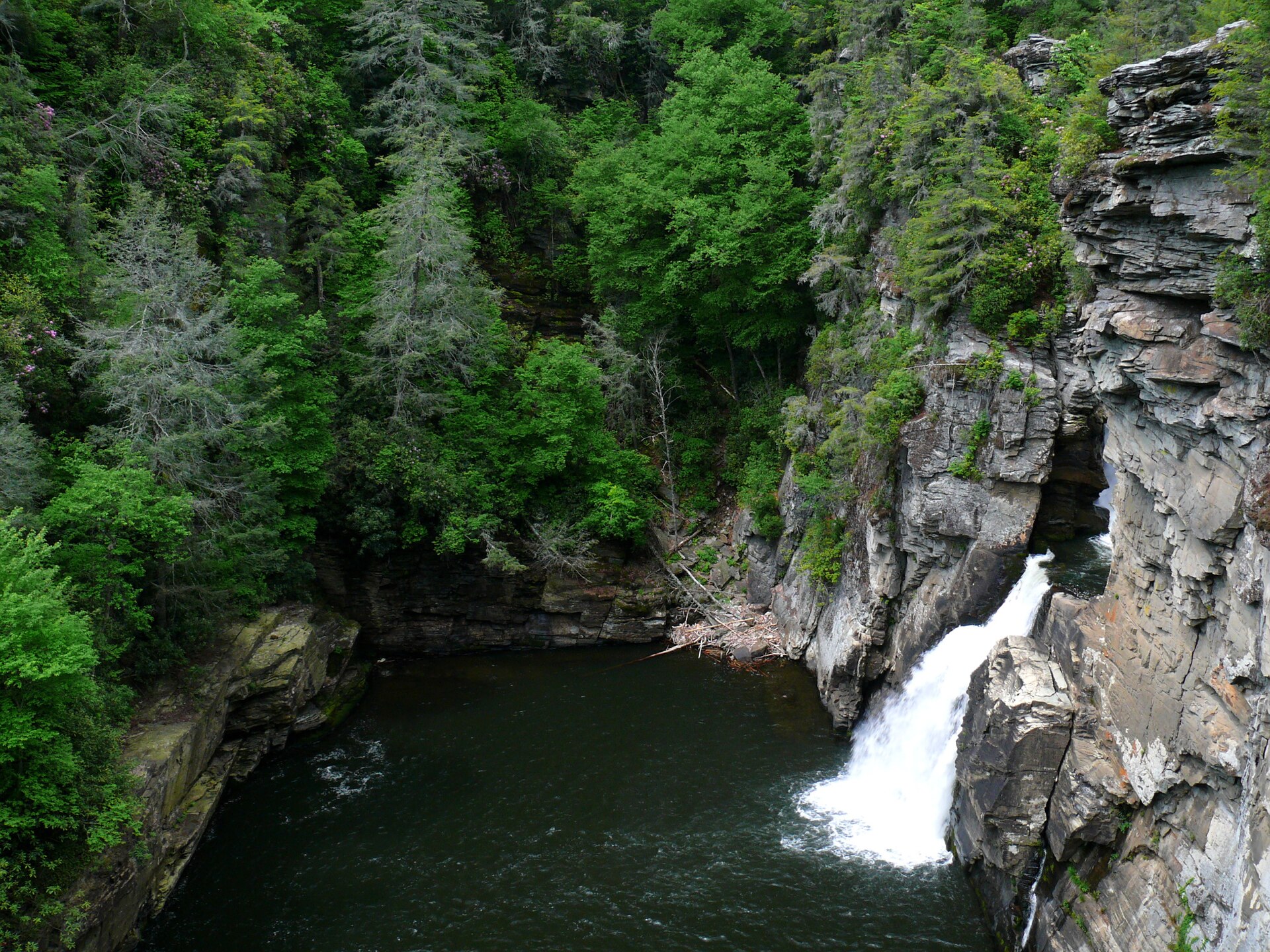 File:Linville Falls-27527-2.jpgKen Thomas · Public domain · Wikimedia Commons
-
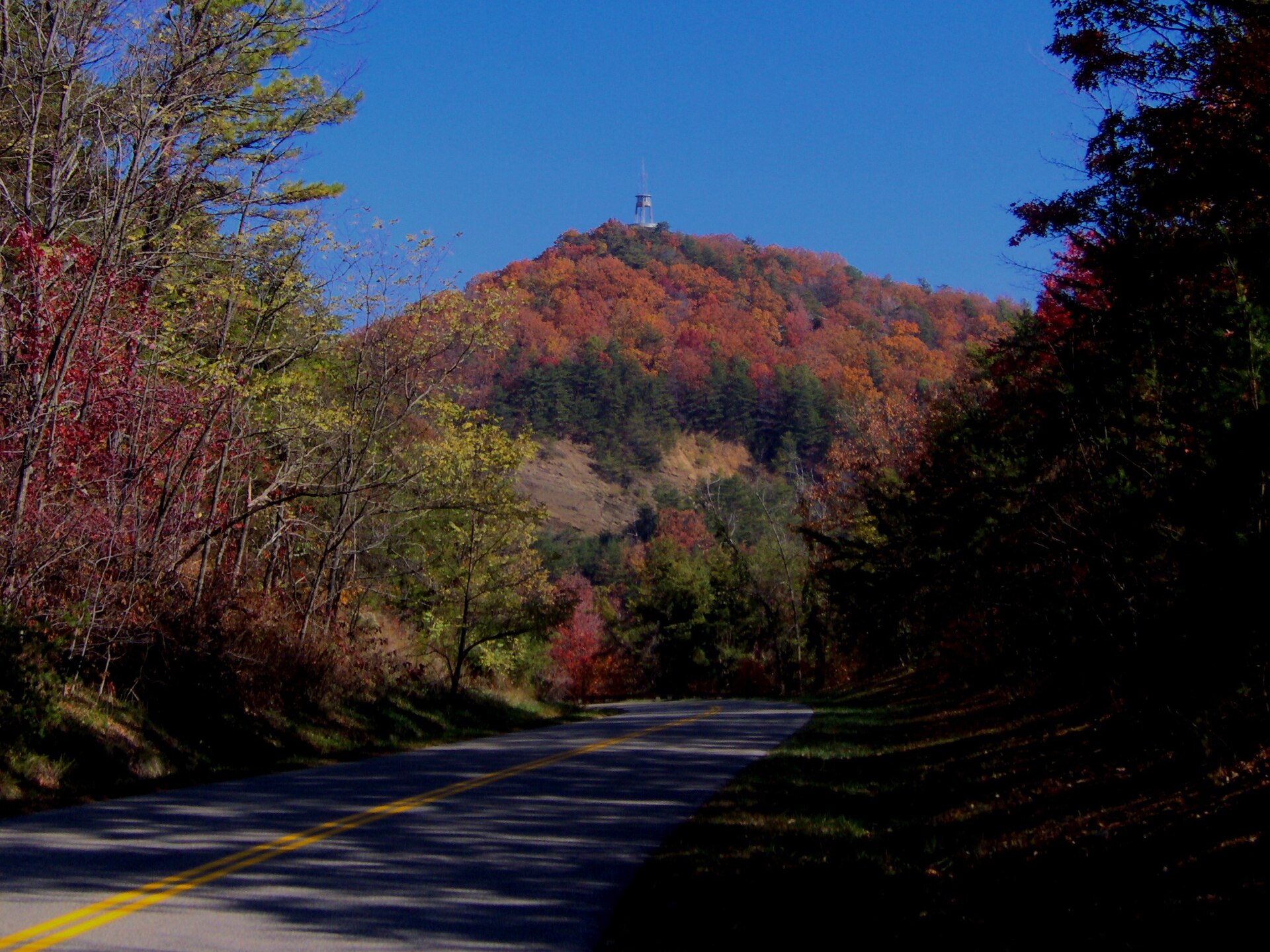 File:Foothills-parkway-look-rock.jpgBrian Stansberry · CC BY 3.0 · Wikimedia Commons
-
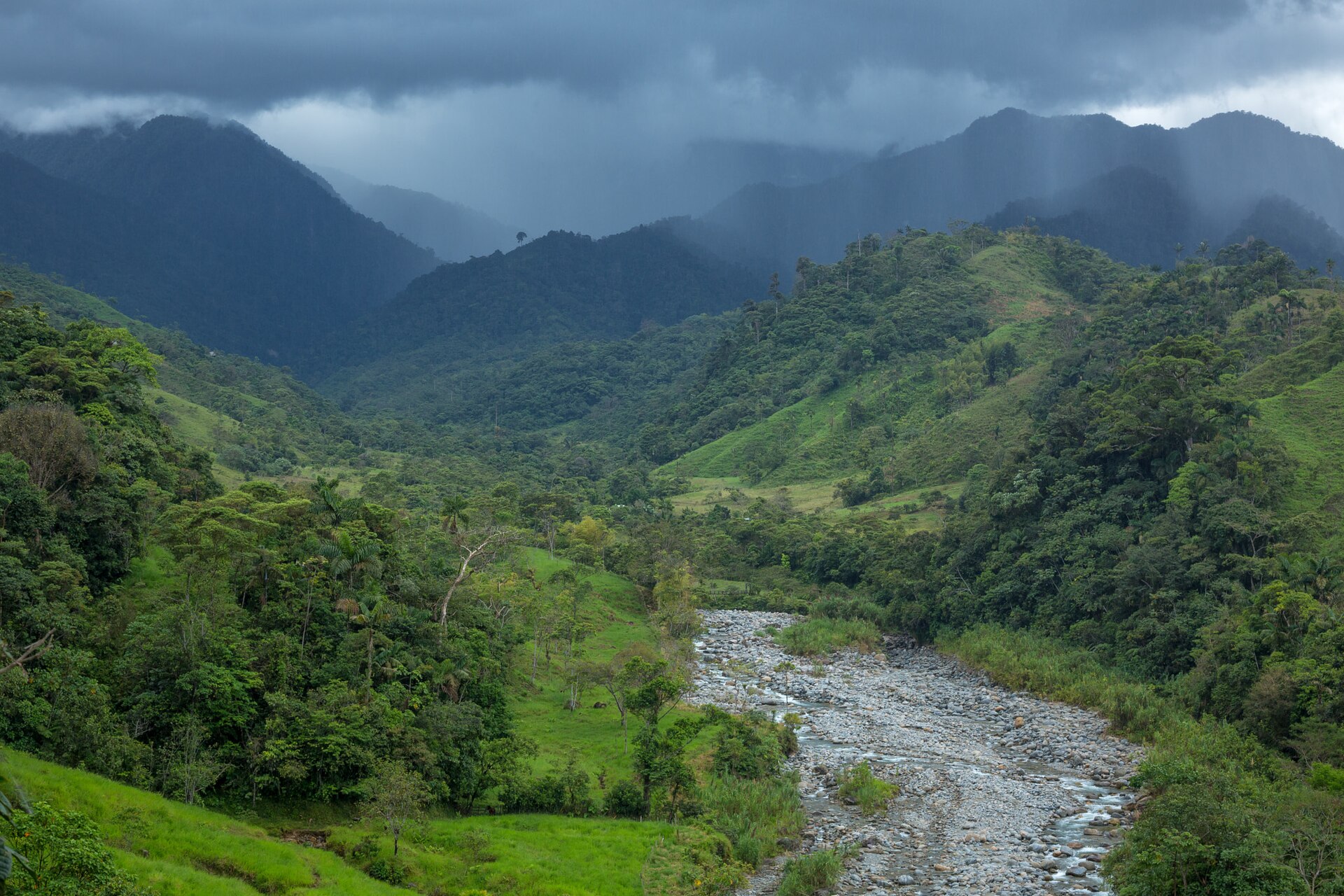 File:Green Hills (229048535).jpegAlexandre Patrier · CC BY 3.0 · Wikimedia Commons
-
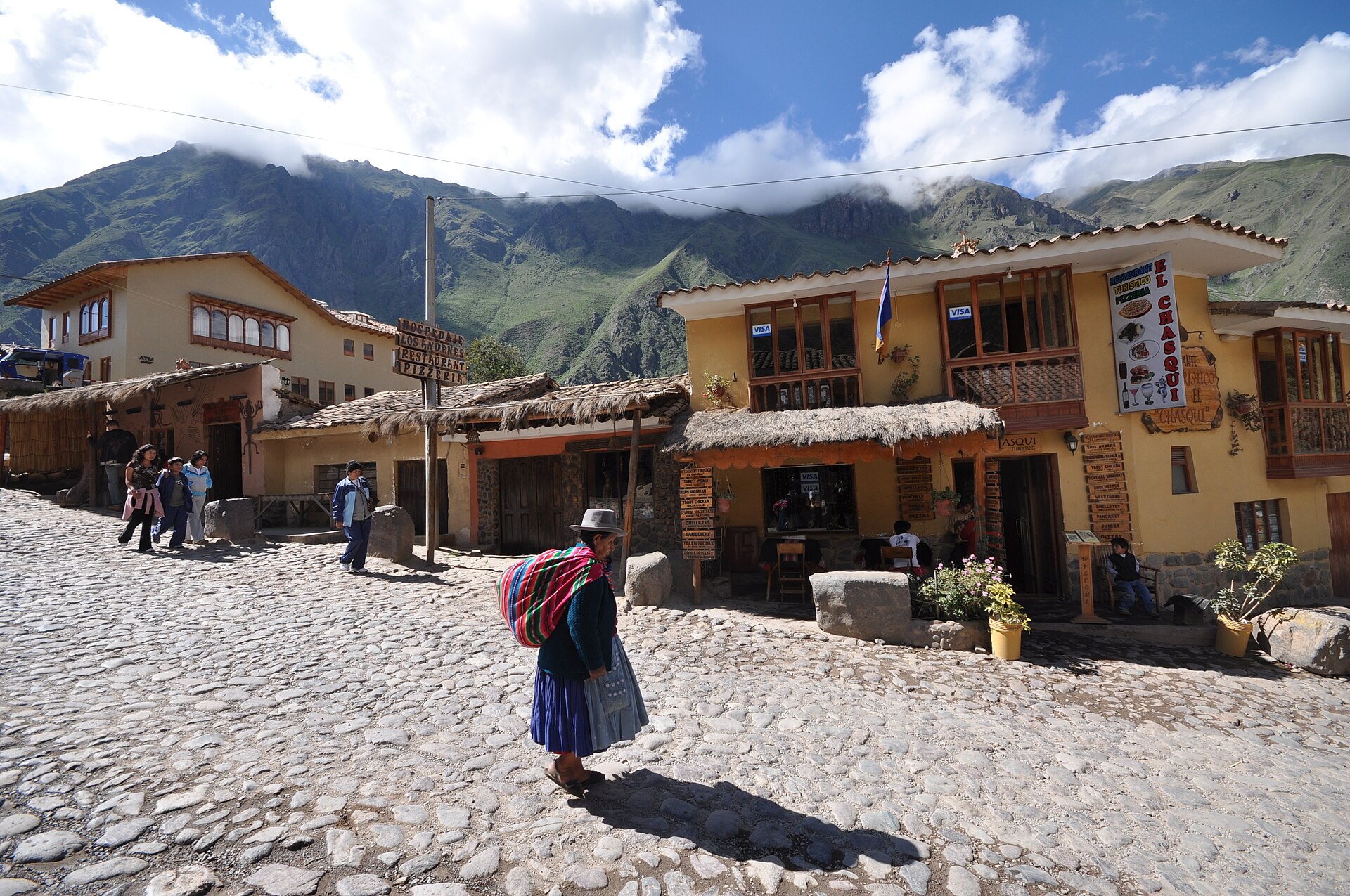 File:Lascar Spectacular view of Ollantaytambo's cobblestone streets and mountains (4578169710).jpgJorge Láscar from Australia · CC BY 2.0 · Wikimedia Commons
-
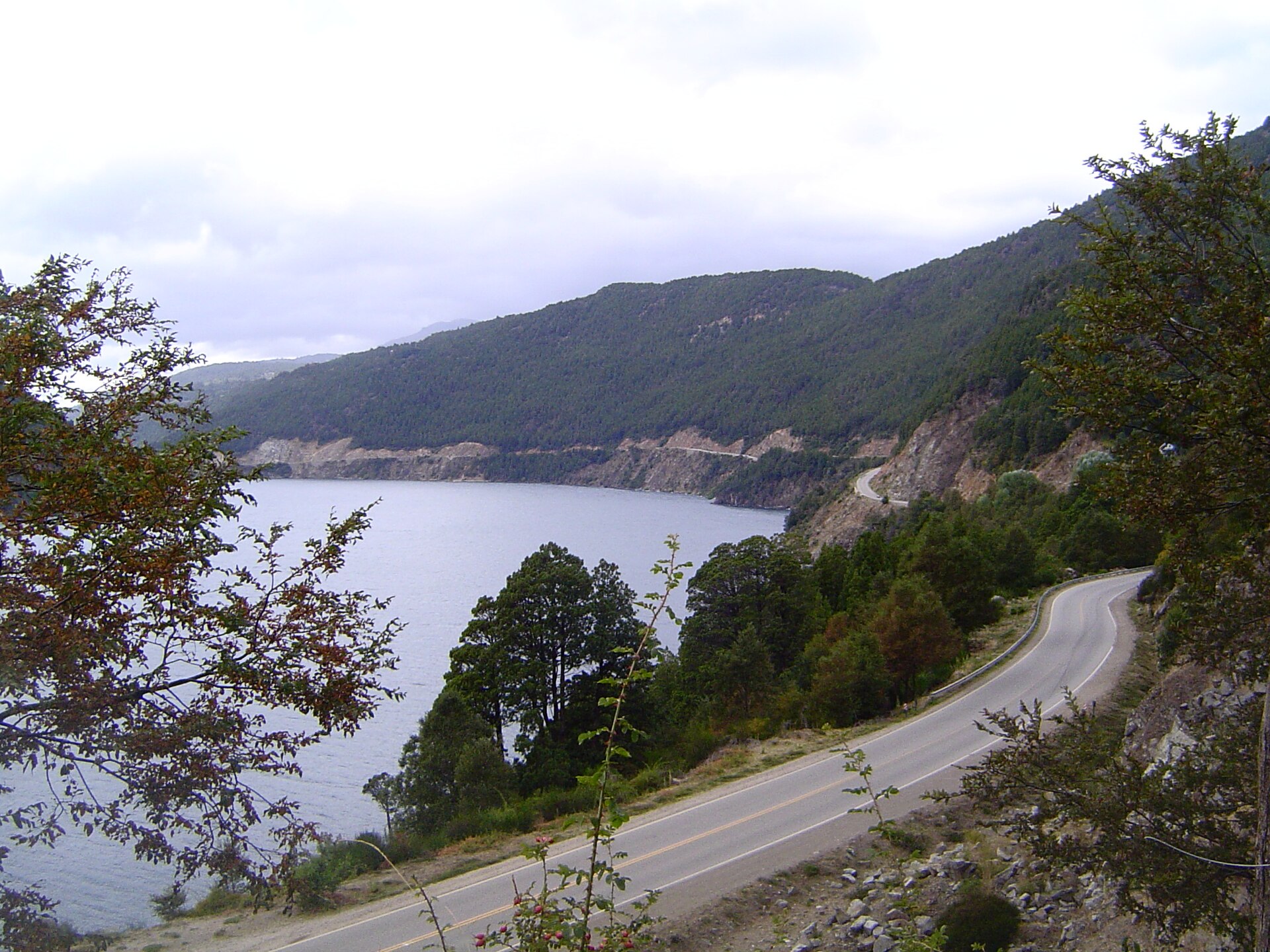 File:CAMINO DE LOS SIETE LAGOS.JPGNo machine-readable author provided. Albasmalko assumed (based on copyright claims). · Public domain · Wikimedia Commons
-
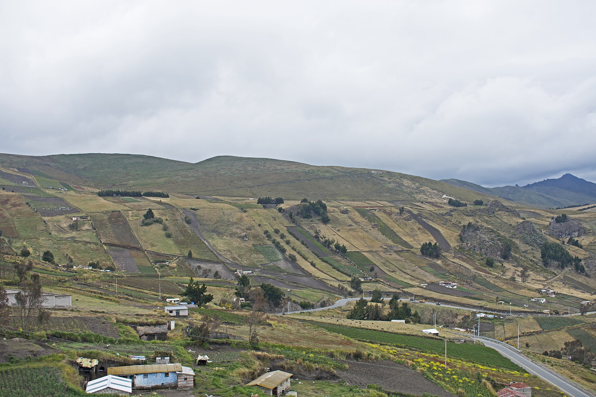 File:Guangaje Ugshaloma Grande seen from E30 1.jpgYmblanter · CC BY-SA 4.0 · Wikimedia Commons
-
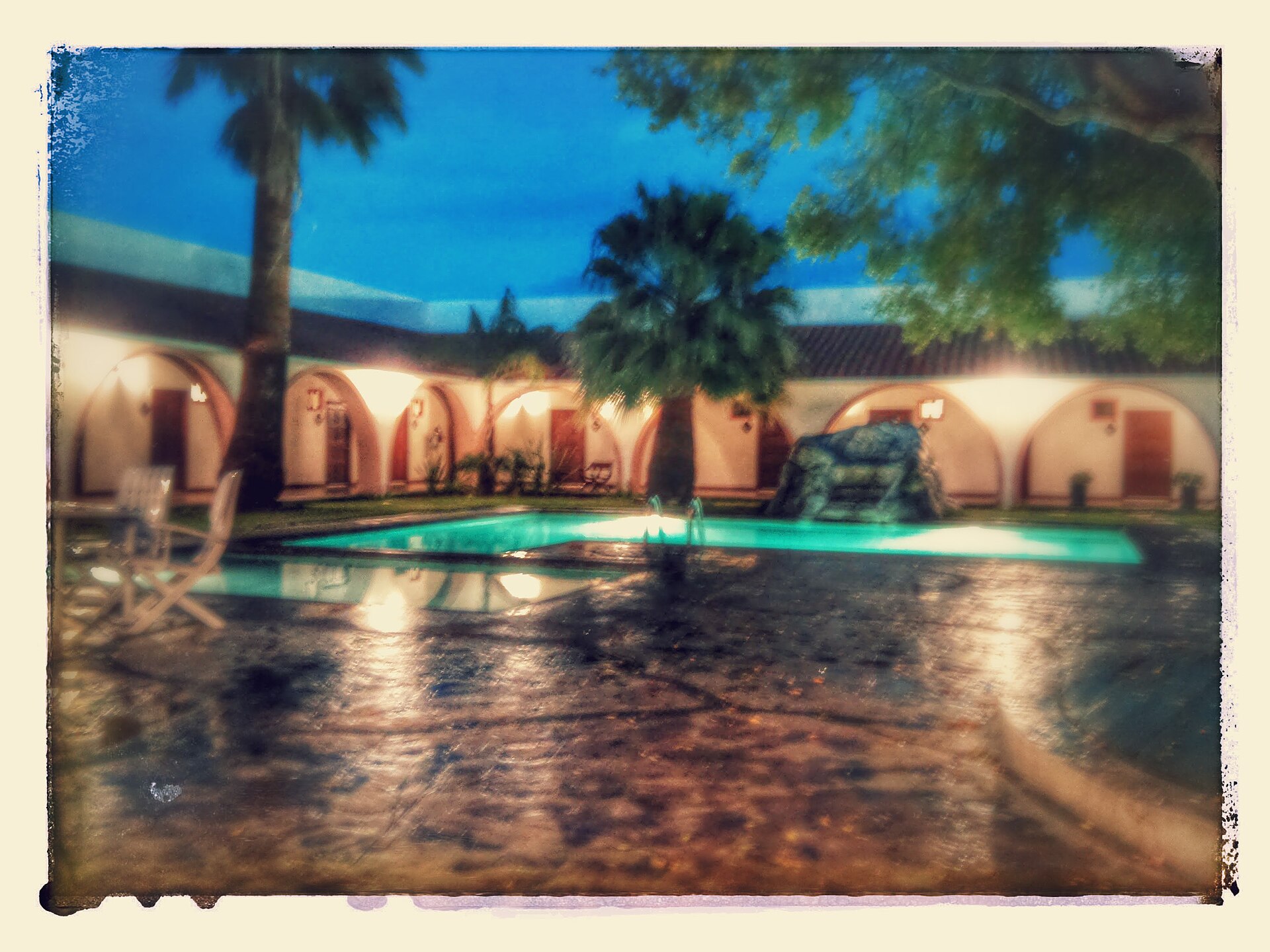 File:HOTEL CATAVIÑA - panoramio.jpgVictor Aguinaga Guer… · CC BY 3.0 · Wikimedia Commons
-
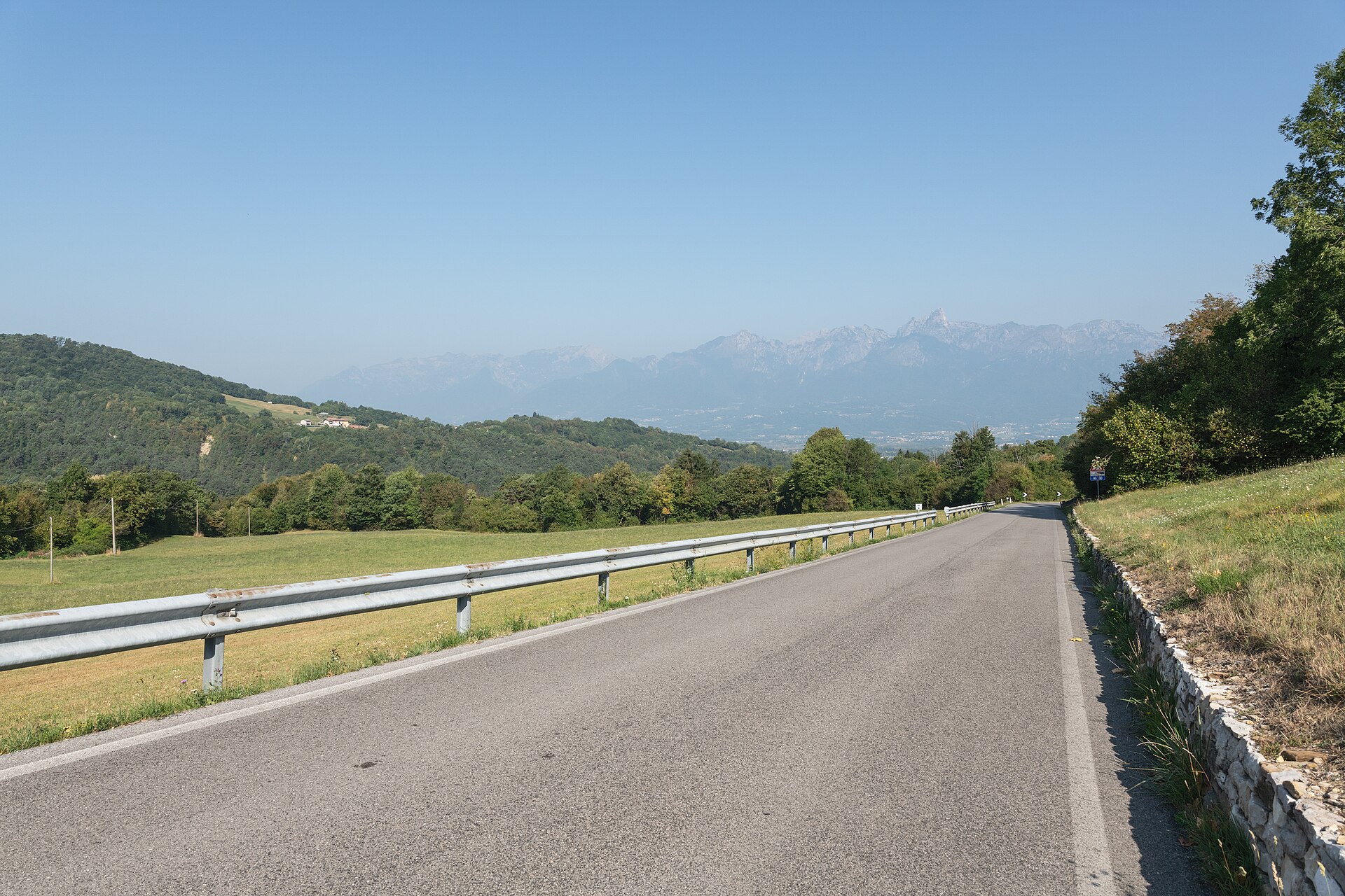 File:SP 635 del Passo San Boldo - Borgo Valbelluna, Belluno, Italia - 5 Agosto 2026.jpgGiorgio Galeotti · CC BY-SA 4.0 · Wikimedia Commons
-
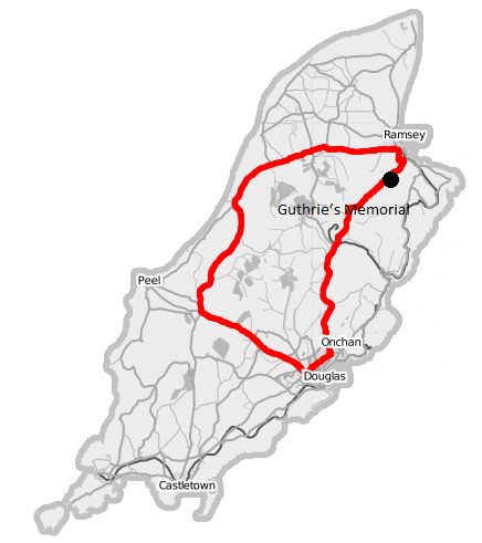 File:Isle of Man TT Course Guthries Memorial.pngKarte von mir bearbeitet. · CC BY-SA 2.5 · Wikimedia Commons
-
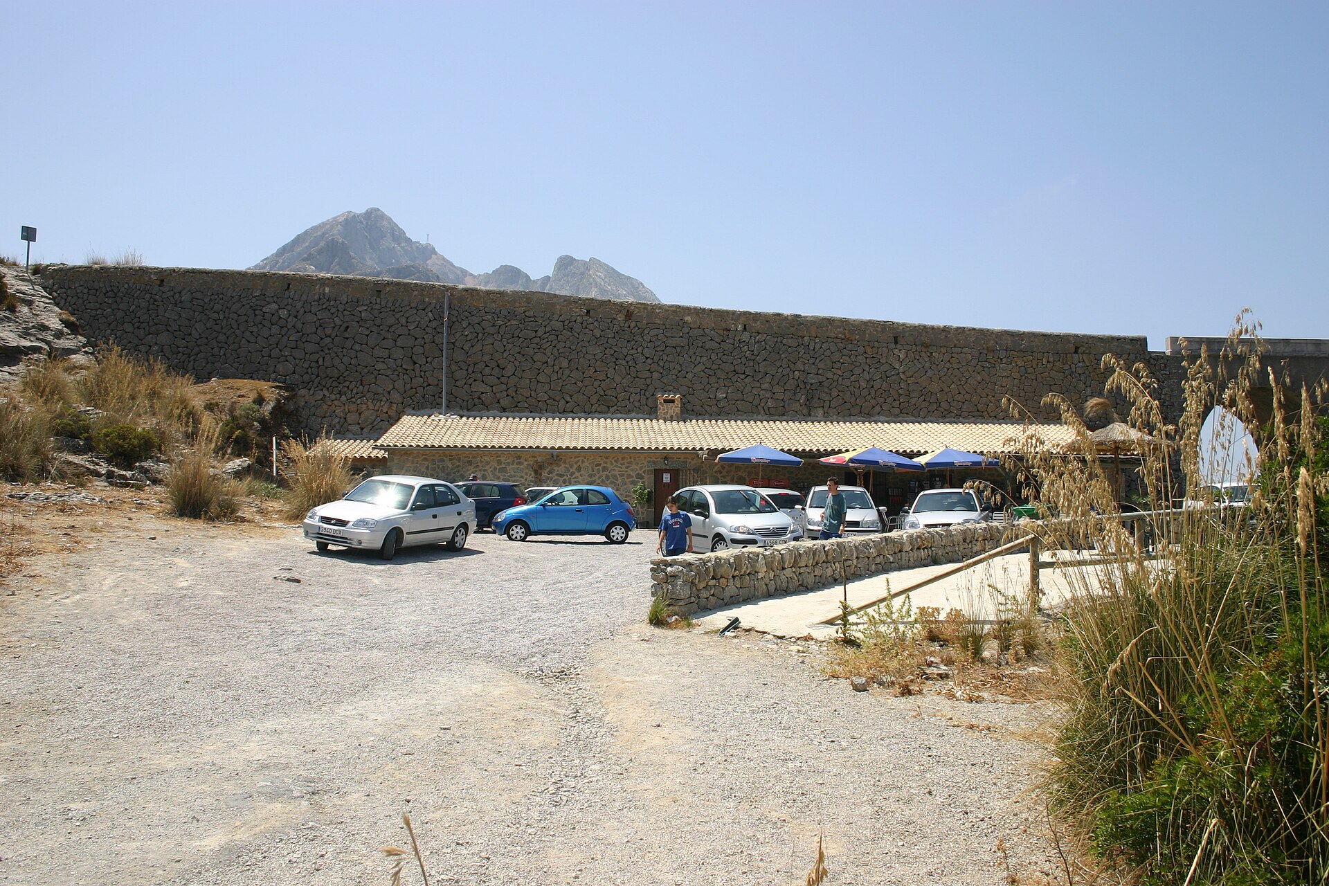 File:Mallorca Mirador Nuu sa Corbata.jpgT.M.L.-KuTV (Transfered by T.M.L.-KuTV/Original uploaded by T.M.L.-KuTV) · CC BY-SA 3.0 · Wikimedia Commons
-
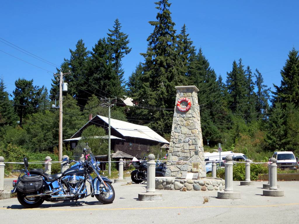 File:Kilometer Zero (9360078621).jpgDavid Stanley from Nanaimo, Canada · CC BY 2.0 · Wikimedia Commons
-
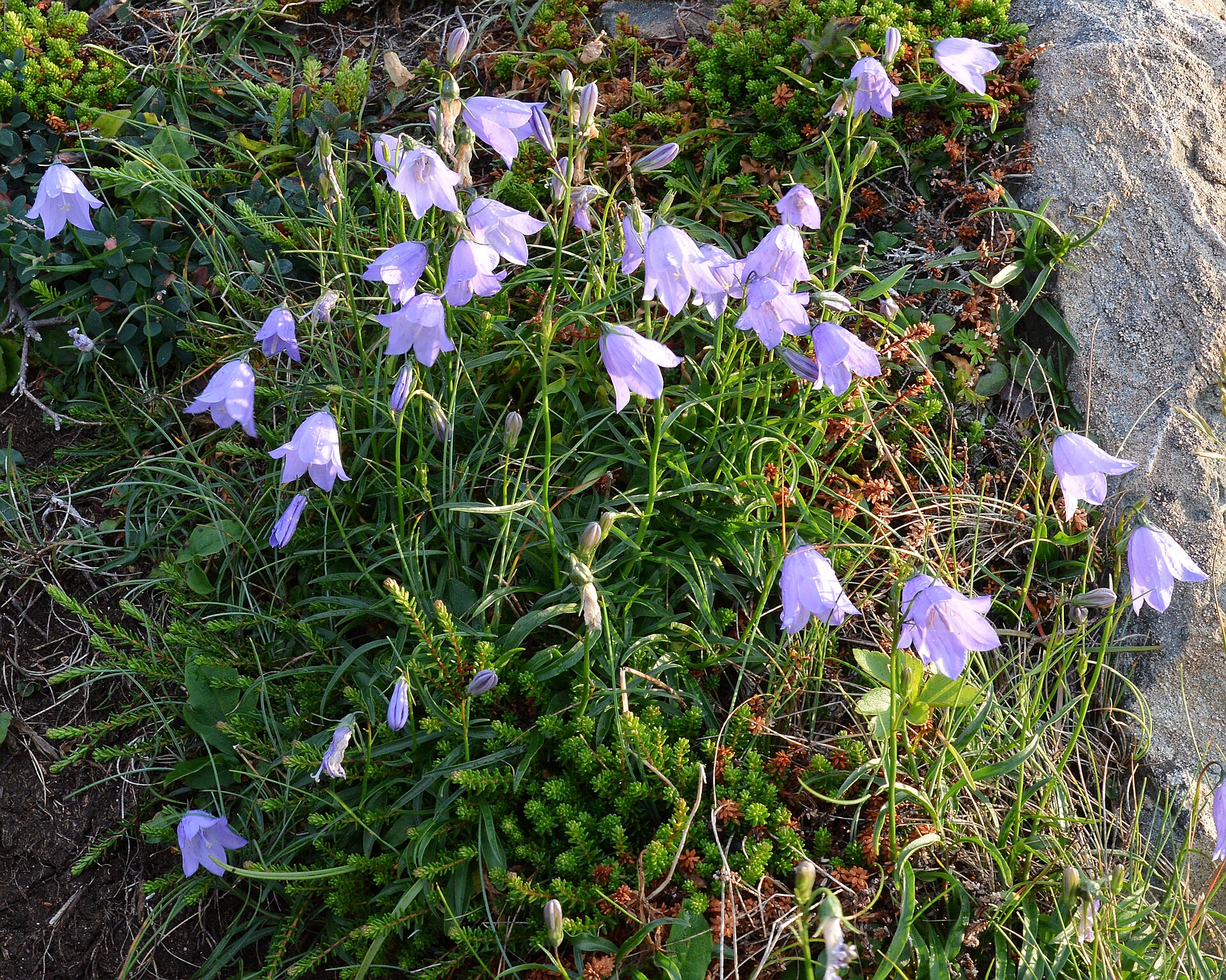 File:Bellflower (Campanula sp.) - Bonavista, Newfoundland 2019-08-13.jpgRyan Hodnett · CC BY-SA 4.0 · Wikimedia Commons
-
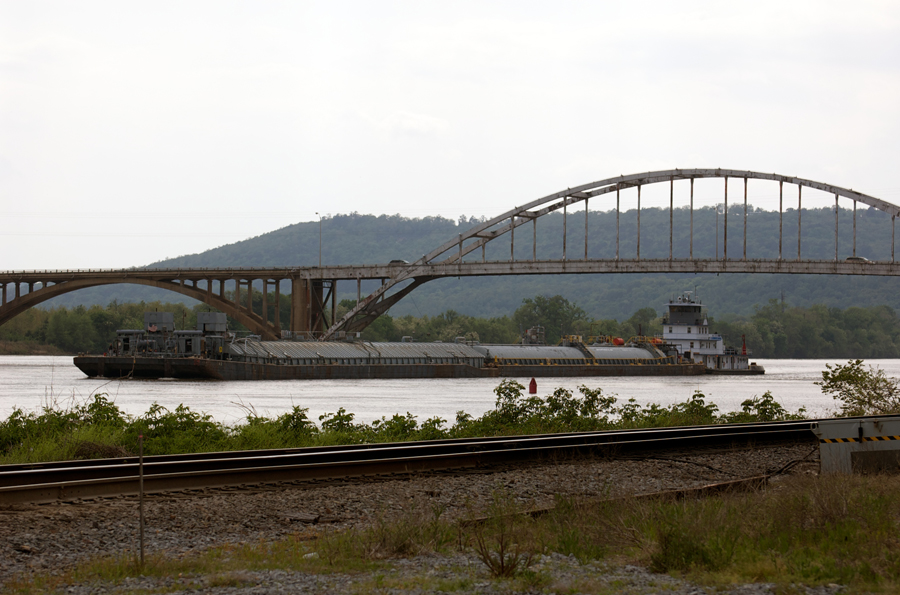 File:Tugboat Charles Southern.jpgDoug Wertman from Rogers, AR, USA · CC BY 2.0 · Wikimedia Commons
-
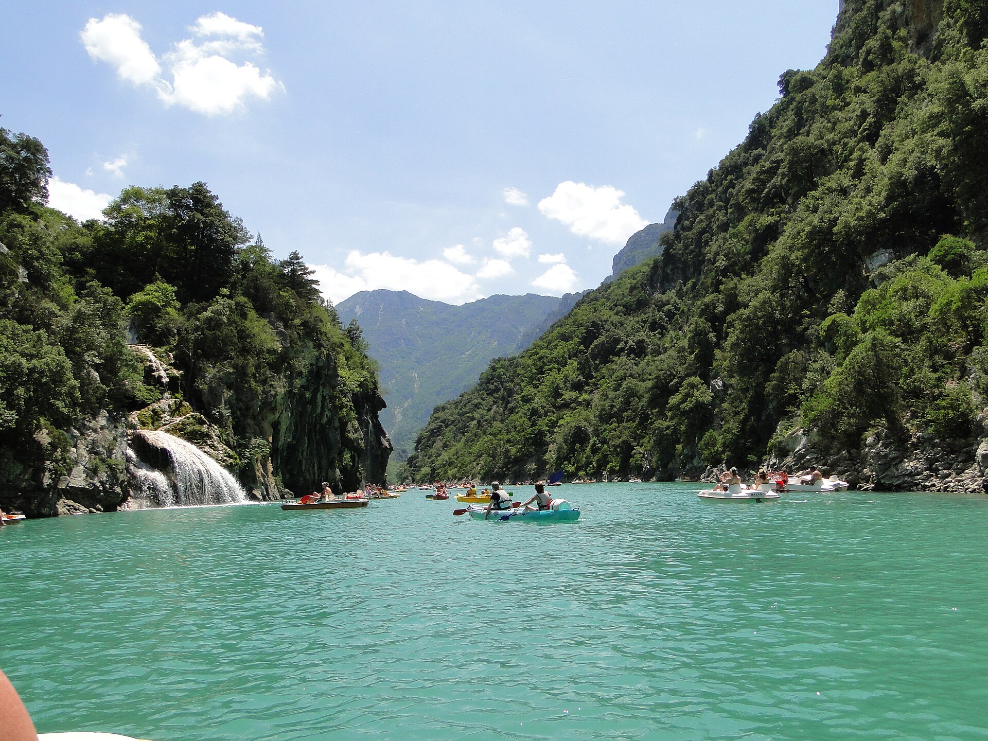 File:101 D952, 04360 La Palud-sur-Verdon, France - panoramio.jpgmichel3333FR · CC BY-SA 3.0 · Wikimedia Commons
-
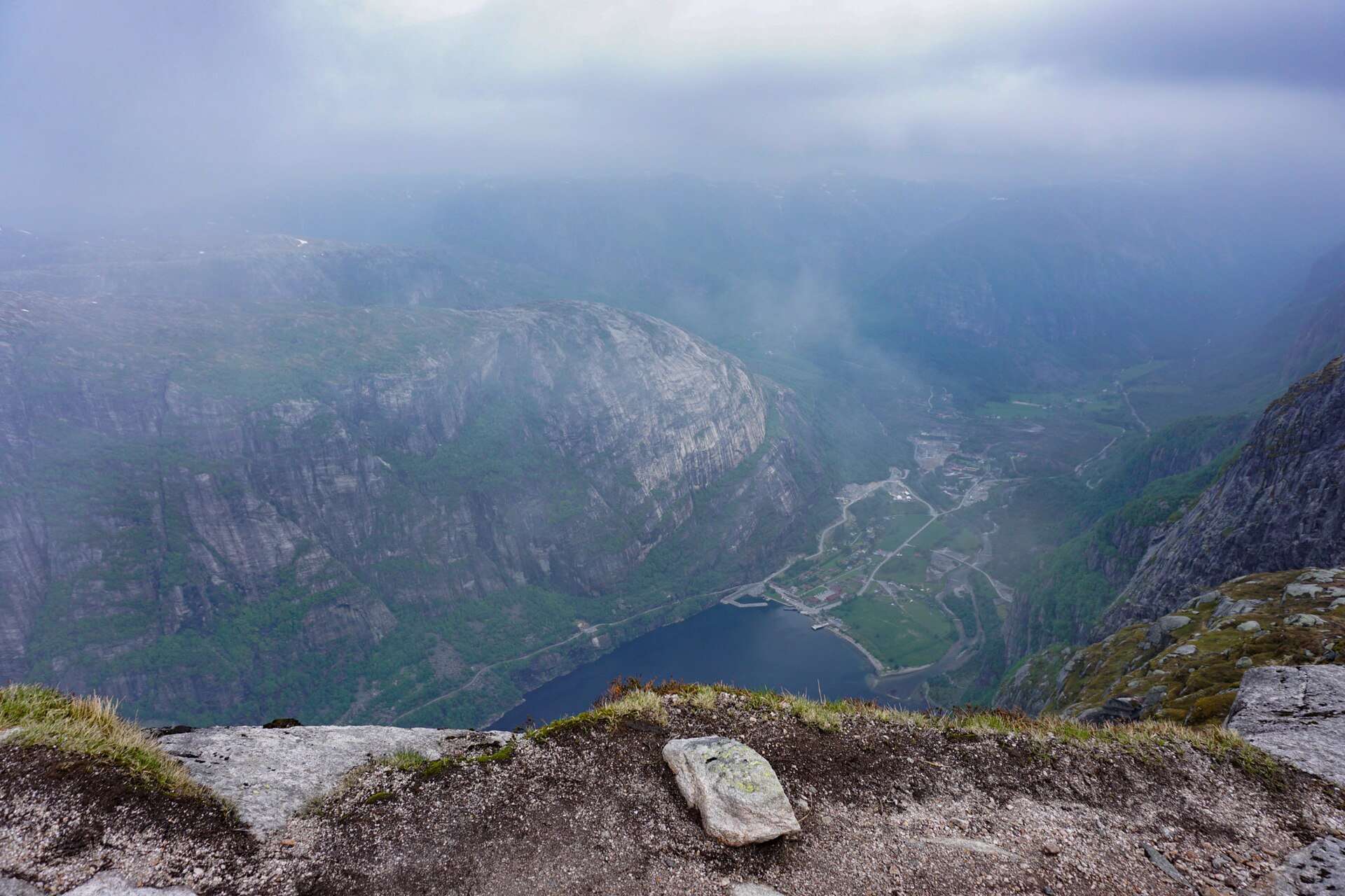 File:Blick Auf Den Lysefjord (219514965).jpegHeike Kranacher · CC BY 3.0 · Wikimedia Commons
-
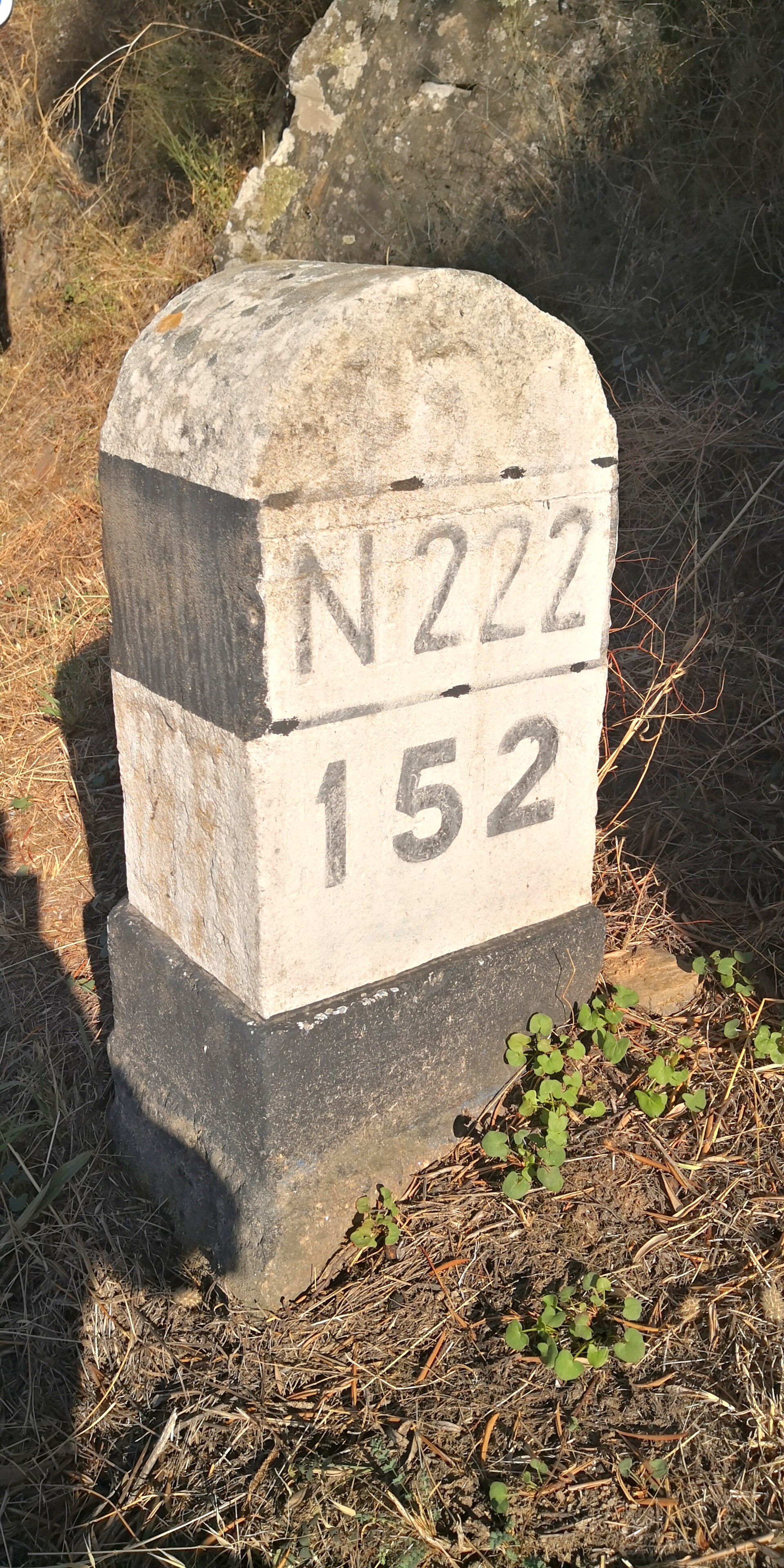 File:Estrada Nacional 222.jpgsanjorgepinho · CC BY-SA 4.0 · Wikimedia Commons